Alta, Wyoming
Looking for the best hiking in Alta? We've got you covered with the top trails, trips, hiking, backpacking, camping and more around Alta. The detailed guides, photos, and reviews are all submitted by the Outbound community.
Top Hiking Spots in and near Alta
-
Alta, Wyoming
Leigh Lake via String Lake Trailhead
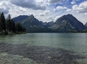
4.82.84 miLeigh Lake is absolutely stunning with about as many recreational activities as you can imagine for a lake. It is a short flat one mile hike from the trailhead at String Lake to Leigh. Once you get there can go as far along as you wish along the 2 mile lakeshore. You can also Kayak, Canoe, or SUP...Read more -
Alta, Wyoming
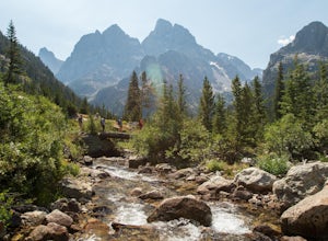
Cascade Canyon Trail
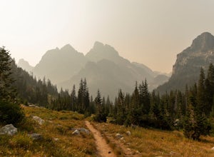
8.92 mi / 1128 ft gainThis is a really scenic trail in the Grand Teton National Park. If you follow the trail all the way it will lead you to Lake Solitude. This hike about 12+ miles round trip, depending on if you get the ferry across Jenny Lake (less with ferry). The actual hike begins on the west side of Jenny la...Read more -
Jenny Lake, Wyoming
Jenny Lake Loop
4.87.82 mi / 682 ft gainJenny Lake's north shore is one of the most beautiful hikes in Grand Teton National Park. Getting there requires a short shuttle boat ride to the north side of the lake, but you also have the option of hiking all the way around the lake. There is a ton of wildlife up here. Keep an eye out for moo...Read more -
Alta, Wyoming
Explore Jenny Lake, WY
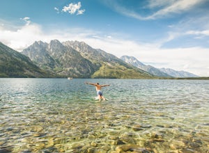
4.9To get here, Is very easy. Heading north out of Jackson Wyoming, just follow the signs once you enter Grand Teton National Park for the route to Jenny Lake. You can make this a day trip for hiking the lake or you can grab a spot on its shore line for a day of swimming and relaxation. If you're lo...Read more -
Alta, Wyoming
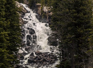
Hidden Falls & Jenny Lake Loop
4.17.77 mi / 571 ft gainYou will find great views of the Tetons throughout this trek, which takes you past the gorgeous Jenny Lake and String Lake, as well as to Hidden Falls, a massive cascade along a river with many other waterfalls and awesome sights. There is also lots of wildlife in this area, including foxes, marm...Read more -
Alta, Wyoming
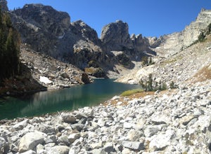
Hike to Lake Solitude
5.016.5 mi / 2600 ft gainStart out at South Jenny Lake.You have the option to take a ferry boat to the other side of the lake to make the journey shorter. If you want to take the ferry, it's about $15 and saves you an extra 4 miles RT.So from South Jenny Lake you hike along the south-west shore of Jenny Lake to the inter...Read more -
Alta, Wyoming
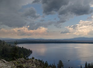
Hike to Jenny Lake's Inspiration Point
4.72.2 mi / 450 ft gainA relatively easy hike. Getting to the trailhead requires a short boat ride across Jenny Lake from the south side. Alternatively, it is possible to walk around the lake as well. Starting from the boat dock, the trail is only a ~0.8 mile climb to Inspiration Point (1.6 miles round trip). Shortly ...Read more -
Alta, Wyoming
Hike to Lake of the Crags
6 mi / 2765 ft gainThe unmarked trek up to Lake of the Crags is a hidden gem in Grand Teton National Park, unknown or untried by many. From the Jenny Lake trailhead, follow the path down to the lake and then around the western edge, headed toward Inspiration Point. Shortly after you enter the tree line, you'll see ...Read more -
Alta, Wyoming
Phelps Lake Overlook
5.01.98 mi / 404 ft gainPhelps Lake Overlook Trail is an out-and-back trail that takes you by a lake located near Moose, Wyoming.Read more -
Alta, Wyoming
Huckleberry Point via Death Canyon Trailhead
5.06.45 mi / 1401 ft gainGetting There: Coming from Jackson Hole, enter Grand Teton National Park and turn left onto Moose-Wilson Road. Continue southwest until you come to Death Canyon trailhead on your right. There is a large parking lot beside the trailhead, as well as bathrooms and picnic areas. The Trail: The ...Read more -
Alta, Wyoming
Backpack to Alaska Basin via Death Canyon
28.2 mi / 7500 ft gainDeath Canyon Trailhead is easily accessed by heading south on Moose-Wilson Rd. from Grand Teton National Park Headquarters for 3 miles. Once at the junction turn right onto an uneven dirt road and go north 0.7 miles to the parking area.Day 1: (8.3 miles) From Death Canyon Trailhead hike west for ...Read more -
Alta, Wyoming
Backpack to the Death Canyon Shelf
20 mi / 2700 ft gainIf you can snag a permit to camp at Death Canyon Shelf, consider yourself lucky. This backcountry camping zone holds some of the best sites in Grand Teton National Park. The shelf is a 3-mile stretch of the Teton Crest trail between Fox Creek Pass and Mount Meek Pass, and runs parallel to Death C...Read more -
Alta, Wyoming
Hike to Phelps Lake
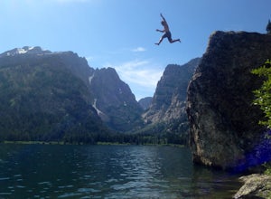
4.94.22 mi / 974 ft gainDon’t look down! You’re about to cliff jump 40 feet from a granite boulder into a lake cold with Glacier runoff. This short and beautiful hike, with a four hundred foot climb, will lead you to our favorite summertime activity…jumping and swimming! If you park at the Preserve trailhead, plan to g...Read more -
Alta, Wyoming
Patrol Cabin at Death Canyon via Death Canyon Trail
5.07.52 mi / 2000 ft gainYour adventure begins at 7,000 feet along lodge pole pines and small creeks. Just a few minutes into the hike, you will reach the Valley Trail Junction. Stay left and continue towards Death Canyon. The first mile of the trail climbs 400 feet through pine forests and aspen groves to the Phelps Lak...Read more -
Alta, Wyoming
Death Canyon to Fox Creek Pass
5.018.15 miDay 1: This trip begins at the Death Canyon Trailhead. Try to arrive early, as it gets crowded and various groups day hike from here. After the first few miles, you’ll encounter Phelps Lake. You’ll have several opportunities for photos, and they will all be beautiful. As you continue on, be on t...Read more -
Moose, Wyoming
Taggart Lake Trail
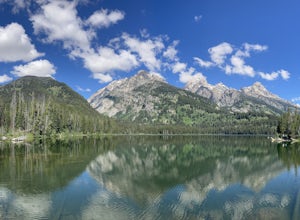
5.03.73 miThis is an easy, four-mile loop hike that doesn't have much of elevation gain. Start off at the Taggart Lake Trailhead. Hike through the forest following a stream until you reach an opening. Continue hiking until you reach the lake. Sit back and enjoy reaching the lake with a snack and some wate...Read more
Top Activities
Let Adventure be your Destination in Wyoming
Wyoming’s wide-open spaces make it easy to get off the grid and on a trail, through a park, into a forest, up a mountain or down a river. During your journey through Wyoming’s Black to Yellow Region, discover geologic marvels, dense evergreen forests and sprawling prairielands.
Learn More

