Wisconsin
Find local adventures, unique places to stay, and local adventure tours in Wisconsin.
Top Spots in and near Wisconsin
-
Cornucopia, Wisconsin
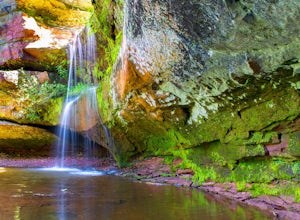
Siskiwit Falls
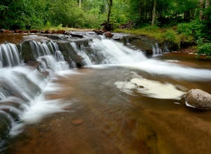
3.00.35 mi / 7 ft gainSiskiwit Falls is located on the Siskiwit River in Cornucopia. There are a few different drops and slides along the river that can be easily explored. To access the falls (from Bayfield), follow Highway 13 to County Rd C, and take a left on Siskiwit Falls Road. There is a bridge shortly after th...Read more -
La Pointe, Wisconsin
Hike the Point Trail at Big Bay State Park
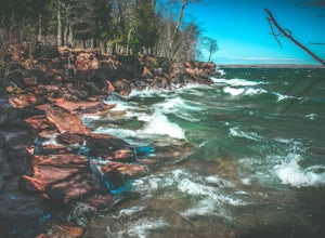
1.7 miLocated at the tip of Wisconsin on Madeline Island, Big Bay State Park is a must see for any Wisconsinite. To get to Madeline Island, you'll need to purchase a round trip ferry ride in Bayfield. The ferry is a quick 20 minute trip across Lake Superior. Once you get onto Madeline Island, head out ...Read more -
Necedah, Wisconsin
Camp at Buckhorn State Park
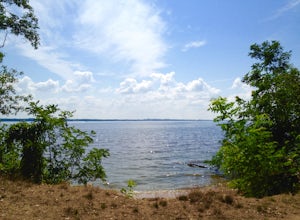
3.5Buckhorn State Park is located just off of Interstate 94, halfway between Milwaukee and Minneapolis. The park occupies the end of a large peninsula that cuts into the Castle Rock Flowage of the Wisconsin River.Forty two backpack sites line the outer ring of the peninsula, arranged in clusters of ...Read more -
La Pointe, Wisconsin
Camp on Stockton Island
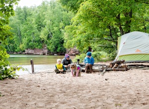
5.0To get out to the Apostle Islands you have to travel by boat. Many people choose to sea kayak, but with small kids we opted to take the ferry/taxi through the Apostle Islands concierge (apostleisland.com ). However, there was one man who brought his kayak over on the ferry and then paddled around...Read more -
Sturgeon Bay, Wisconsin
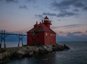
Photograph the Lighthouse at Sturgeon Bay Ship Canal Pierhead
4.0Driving on Highway 42 from Sturgeon Bay, cross the bridge over the canal heading north. Take the first right after crossing the bridge on Utah Street. Turn right on Cove Road, followed by a left on Canal Road. Follow Canal Road along the canal until the road comes to a dead end at the U.S. Coast ...Read more -
Kewaskum, Wisconsin
Backpack the Milwaukee River and Butler Lake Segments of the Ice Age Trail
16.8 miThe Milwaukee River Trailhead for the Ice Age Trail (IAT) is located on WI-28, east of the Kettle Moraine Scenic Drive. Before the hike, make sure to pack water, or hike off-trail to the New Fane trailhead (1.1 mile round trip, we got caught doing this) for an early water source on the trail. The...Read more -
Port Wing, Wisconsin
Explore Twin Falls, WI
3.00.5 miIt’s located on Highway 13 on the outskirts of Port Wing, WI. If you are coming from the west, you’ll see a sign on your right for the park. This will be before you get to the town of Port Wing. If you are coming from the East on Highway 13, you will pass through the town and it’s shortly after ...Read more -
Stevens Point, Wisconsin
Hike to Moses Creek in Schmeeckle Reserve
5.02 mi280-acre Schmeeckle Reserve is maintained by the University of Wisconsin-Stevens Point College of Natural Resources. Everything about it is in pristine condition. You will almost certainly encounter wildlife, and sometimes the wildlife is quite curious. I have had deer walk within five feet of me...Read more -
Black River Falls, Wisconsin
Castle Mound Lookout at Black River State Forest
5.01.99 mi / 200 ft gainThis trail is found at the Castle Mounds Campground within the Black River State Forest. Black River State Forest is huge so follow these instructions to get to the correct campgrounds: From I-94, take Black River Falls Exit 116, travel west on Hwy 54 into Black River Falls. Drive to the third s...Read more -
Milwaukee, Wisconsin
Photograph Jones' Island
Urban explorers, meet your new favorite spot. Located right outside of downtown Milwaukee, Jones' Island is home to a water reclamation facility, road salt storage, milorganite, the Port of Milwaukee and more. But us explorers view it as a desolate haven ready to become our canvas. Train tracks a...Read more -
Cornucopia, Wisconsin
Hike to Lost Creek Falls
4.02.5 miThe trailhead has been updated for Lost Creek Falls and can now be found on Trail Drive in Cornucopia. On this well-marked 3-mile trail, there are signs along the trail, new boardwalks, and a larger parking area. This is a very nice trail en route to beautiful falls.Read more -
Hartford, Wisconsin
Hike to Loew Lake
5.03 miStarting from county rd K you turn in on Emerald Drive . at the start of Emerald drive is an old and tiny cemetery. Travel all the way on Emerald drive until you reach a sign that says Emerald Lot which is where you park, you can go left or right along the Ice age trail that crosses all across WI...Read more -
Fish Creek, Wisconsin
Hike the Bluffs on Eagle Trail in Door County's Peninsula State Park
5.02.1 mi / 200 ft gainThe loop begins at the parking lot of Eagle Bluff/Panorama and immediately descends 200 feet along the Green Bay coast. While paralleling the shoreline, you'll have a chance to explore caves, get your feet wet on the shores of Green Bay, and wander through white cedar forests. The hike is moderat...Read more -
Adell, Wisconsin
Visit the Parnell Observation Tower
4.00.5 mi / 200 ft gainLocated southwest of Plymouth, WI, the Parnell Observation Tower is located just west of the intersection of Cty Road A and Cty Road U. At the trail-head, the parking lot has a restroom facility, drinking water, and a picnic area.The start of the trail has well established wooden steps along the ...Read more -
Bayfield, Wisconsin
Kayak to the Mainland Sea Caves
5.0GETTING THERE Start your paddle from Meyer’s Beach just off of Highway 13. There is a $5 fee to park in the lot at Meyer’s Beach. At the parking lot there is an area to unload your gear near the stairs that lead to the lake, down which you will need to carry your boat & gear. The area is usua...Read more -
Gibraltar Rock State Natural Area, Wisconsin
Gibraltar Rock Loop
5.01.5 mi / 322 ft gainStarting at the trailhead at the base of the hill, follow the paved asphalt path that ascends the backside of Gibraltar Rock. While the trail is paved all the way to the top, there are sections of it that are rather rough due to tree roots tearing the pavement up. There is also a slightly longer ...Read more

