Mason, Wisconsin
Looking for the best photography in Mason? We've got you covered with the top trails, trips, hiking, backpacking, camping and more around Mason. The detailed guides, photos, and reviews are all submitted by the Outbound community.
Top Photography Spots in and near Mason
-
Saxon, Wisconsin
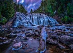
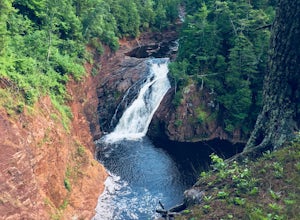
Lower Potato Falls
3.60.48 mi / 207 ft gainComing into the park off Hwy 169 in Gurney, WI, you will turn West onto Falls Rd. It is a gravel road that ends at a circular parking lot, complete with a pit toilet, picnic area, viewing areas, and trailheads. Starting at the trailhead labeled "Lower Potato Falls", you will descend a couple hun...Read more -
Saxon, Wisconsin
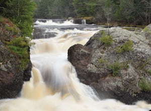
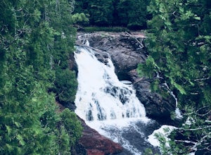
Upper Potato Falls
0.28 mi / 85 ft gainYou will turn off of Hwy 169 onto a gravel road, follow the road all the way to the end for the trail head. Please drive respectfully as people live on this road. Once you park, you will see multiple trails down to the river. Find the sign for Upper Falls and head that way. After .3 miles you wil...Read more -
South Range, Wisconsin
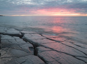
Explore Wisconsin Point
5.0If you’re in the Twin Ports area, (Duluth, MN and Superior, WI) be sure to check out Wisconsin Point. This peninsula is about 3 miles long and has several great spots to relax on the sandy beach (or swim in the chilly waters of Lake Superior). At the end of the peninsula is the Wisconsin Point Li...Read more -
Duluth, Minnesota
Photograph Stoney Point Beach on Lake Superior
The AdventureThe work is done. According to The Photographer’s Ephemeris (app.photoephemeris.com) the sun will rise at 7:11 AM. You grab your gear, a hot beverage, and set out for the open road. Scenic 61 follows the shore of Lake Superior all the way from Duluth to Two Harbors, MN. The drive up ...Read more -
Superior, Wisconsin
Hike to Big and Little Manitou Falls in Pattison State Park
4.02 miPattison State Park is a Northwoods paradise. Home to Big and Little Manitou Falls, water is a main attraction here. Big Manitou Falls is across the highway from the main park (accessible by a tunnel) and is the fourth tallest waterfall east of the rocky mountains. This is a great place to start ...Read more -
Ironwood, Michigan
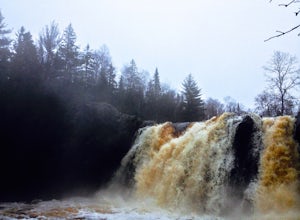
Hike to Superior Falls
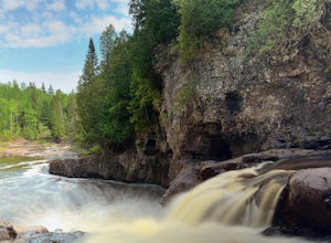
4.00.5 mi / -100 ft gainSuperior Falls sits right next to the Superior River, near the northern terminus of the Montreal River. The parking area for the falls is rather large, and there are porta-potties directly next to the parking area. To see the lower region of the falls, you can hike down to the base of the river,...Read more -
Saxon, Wisconsin
Hike to Saxon Falls
0.5 miAn unusual hike to see the falls, Saxon Falls sits next to a flowage station. On foot, follow the short, wooded hiking trail to the east of the parking area, which leads to the overlook location. For better viewing, continue down the path. The falls sports one of the deepest gorges in the region....Read more -
Duluth, Minnesota
Catch a Sunrise at Canal Park
5.0Quick and easy parking right on the north side of the northern break wall. It could be a few hundred foot walk if you want to walk out the entirety of the break wall.Read more -
Duluth, Minnesota
Chester Creek Trail
4.52.13 mi / 282 ft gainChester Creek is a prime example of how Duluth, MN values the many green spaces within its borders. The trailhead to Chester Creek is easy to find. Right on the corner of 14th ave east and 4th st, across from Burrito Union. For those of you without another form of transportation, there is a bus ...Read more -
La Pointe, Wisconsin
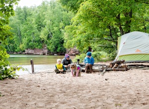
Camp on Stockton Island
5.0To get out to the Apostle Islands you have to travel by boat. Many people choose to sea kayak, but with small kids we opted to take the ferry/taxi through the Apostle Islands concierge (apostleisland.com ). However, there was one man who brought his kayak over on the ferry and then paddled around...Read more -
Two Harbors, Minnesota
Gitchi-Gami from Gooseberry to Split Rock
15.28 mi / 1440 ft gainThe Gitchi-Gami is a paved bike path that will eventually extend from Two Harbors to Grand Marais. As it currently stands (2015), there's a really great segment that starts in Gooseberry Falls State Park and runs all the way to the town of Beaver Bay (total of 16 miles one way). I chose to do a ...Read more -
Two Harbors, Minnesota
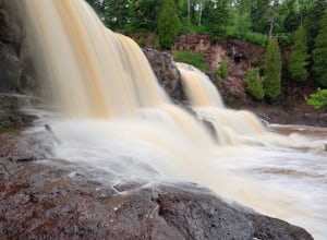
Explore Gooseberry Falls
4.6Gooseberry Falls State Park is the first State Park you hit traveling up the North Shore after leaving Duluth. Located 13 miles north of Two Harbors on Highway 61, Gooseberry Falls State Park a quick turn off of the highway which is very well marked with signs. Follow signs for Falls parking.You ...Read more -
Two Harbors, Minnesota
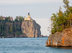
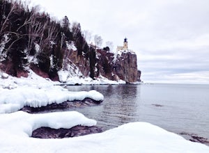
Snowshoe to Corundum Point at Split Rock Lighthouse State Park
5.8 mi / 240 ft gainAlthough there are dozens of ways to do this trip and I encourage you to explore, I suggest one hike that I think does a good job of introducing this areas to new visitors. If you are planning on snowshoeing like I suggest, try to get a day with a good amount of fresh snow (6+ inches). Packed sno...Read more -
Two Harbors, Minnesota
Hike to the Fifth Falls of the Gooseberry River
3.82 mi / 100 ft gainGooseberry Falls State Park is the first State Park you hit traveling up the North Shore after leaving Duluth. Located 13 miles north of Two Harbors on Highway 61, Gooseberry Falls State Park a quick turn off of the highway which is very well marked with signs. Follow signs for Falls parking. Beg...Read more -
Duluth, Minnesota
Brewer Park Loop
5.03.45 mi / 472 ft gainBrewer park loop is located in West Duluth just above Skyline Parkway. The hike is a part of the Superior Hiking Trail that also has many mountain biking routes nearby and also intersecting the hiking route. The hike is well marked and easy to follow. From 40th avenue West/Haines Road there's a...Read more -
Two Harbors, Minnesota
Snowshoe the Split Rock River Loop Trail
3.05 mi / 280 ft gainBeginning at the Split Rock Wayside rest stop, start your hike up the Spur Trail. About half a mile in, the Spur Trail will junction with the Superior Hiking Trail. The trail gradually ascends along the west side of the Split Rock River. Within the first mile, you will cross over a small bridg...Read more

