Black River Falls, Wisconsin
Looking for the best hiking in Black River Falls? We've got you covered with the top trails, trips, hiking, backpacking, camping and more around Black River Falls. The detailed guides, photos, and reviews are all submitted by the Outbound community.
Top Hiking Spots in and near Black River Falls
-
Black River Falls, Wisconsin
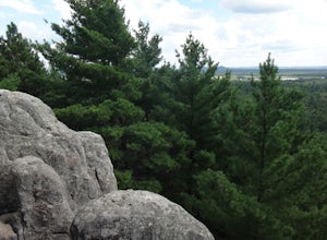
Castle Mound Lookout at Black River State Forest
5.01.99 mi / 200 ft gainThis trail is found at the Castle Mounds Campground within the Black River State Forest. Black River State Forest is huge so follow these instructions to get to the correct campgrounds: From I-94, take Black River Falls Exit 116, travel west on Hwy 54 into Black River Falls. Drive to the third s...Read more -
Neillsville, Wisconsin
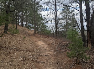
Levis/Trow Mounds Trail
5.89 mi / 846 ft gainLevis/Trow Mounds Trail is a loop trail where you may see beautiful wildflowers located near Neillsville, Wisconsin.Read more -
Tomah, Wisconsin
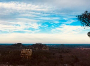
Hike the Mill Bluff Trail
5.01.25 mi / 175 ft gainMill Bluff State Park is located south of I-90 in Tomah. The park is known for it's featured bluffs that can be seen very prominently in the flat landscapes in the area. The park offers campsites, a small swimming hole, and some hiking trails along the bluffs. The trail along the main bluffs fol...Read more -
Winona, Minnesota
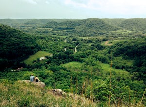
King's Bluff in Great River Bluffs State Park
4.02.66 mi / 0 ft gainGreat River Bluffs State Park follows a series of impressive bluffs along the Mississippi River just south of Winona. For those of you who think Minnesota is as flat as a pancake (and I'm not saying there aren't places in the state that are), Great River Bluffs will be a surprise. King's and Quee...Read more -
La Crosse, Wisconsin
Hike to La Crosse Ridge
4 mi / 500 ft gainIt is easiest to park your vehicle in the Myrick Park parking lot versus your other options. The great thing about parking in that lot rather than along the road/neighborhoods is there is a trailhead right there (and it's free). You can begin hiking this short little trail, which will lead to and...Read more -
Eau Claire, Wisconsin
Big Falls County Park
5.0When I went in 2019 it was free, but their website says there is a fee now. Hike around for an hour or so and then have a picnic. I went around 6pm after work one day and had a wonderful time. We only saw about a dozen people and during our picnic we had the place to ourselves! This is a 135 a...Read more -
Winona, Minnesota
Hike up to Garvin Heights Overlook
1 miPark on Huff Street on the bridge that divides Lake Winona (we parked in the lot by the Visitor Center). Walk on Huff St. towards the highway (14/61) and turn left on W. Lake Boulevard (be careful here, it’s a busy road). Continue on Lake Blvd. past Cty Rd. 44 . Before the first house on Lake ...Read more -
Ontario, Wisconsin
Hike the Hemlock Trail
4.52.7 mi / 356 ft gainTake the unnamed road that turns off of Highway 33 (see map). At the end of this road is a parking lot and the trailhead. The trail will take you along the Kickapoo River in a 2.7 mile loop through hemlock forest. You can see exposed rock formations on this trail.Read more -
Minnesota City, Minnesota
Climb Mt. Charity at John A. Latsch State Park
5.01 mi / 500 ft gainJohn A. Latsh State Park is directly off of Hwy. 61 a few miles north of Winona. Begin your hike at the parking lot, following the signs for the Riverview Trail. The hike itself is a short, but steep climb on a series of steps up the side of the Mt. Charity Bluff. Winding through verdant valley f...Read more

