Richwood, West Virginia
Looking for the best hiking in Richwood? We've got you covered with the top trails, trips, hiking, backpacking, camping and more around Richwood. The detailed guides, photos, and reviews are all submitted by the Outbound community.
Top Hiking Spots in and near Richwood
-
Ansted, West Virginia
Hike the Hawks Nest Rail Trail
4.33.6 mi / 200 ft gainYou can start walking on this well-graded rail trail either from Ansted or down by the New River at the Hawk's Nest Nature Center. If you start from the top you will lose a couple hundred feet in elevation and have to walk back up to your car (it is an easy walk though). Bikes are also allowed on...Read more -
Fayetteville, West Virginia
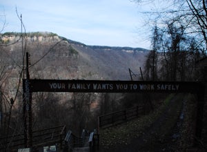
Hike the Kaymoor Miners Trail
5.02 mi / 900 ft gainKaymoor was on old West Virginia coal mining town that thrived in the early 1900's until it was abandoned in the 1950's. Along this trail you will see remnants of the old mine entrance, mining cars, a coal processing plant, and coke ovens, among other structures. This trail, although short, is qu...Read more -
Fayetteville, West Virginia
Hike the Long Point Trail
4.83.2 mi / 200 ft gainWith minimal elevation gain, this 3.2 mile hike can be done in a short amount of time. From the parking lot, take the trail to the right of the bathroom. There will be two trail intersections at 0.4 miles and 0.7 miles, both of which are well marked. Stay straight at both intersections to remain ...Read more -
Ansted, West Virginia
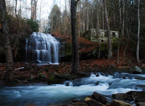
Turkey Creek Falls in Hawks Nest SP
0.99 mi / 26 ft gainPark in the boat ramp lot by Hawks Nest Lake. Note that the road to get down to this parking lot is a one lane (two-way traffic) steep gravel road, but it is passable with low-clearance vehicles. From the parking area take the path towards the Hawks Nest Dam, also labeled the "Fisherman's Trail...Read more -
Hot Springs, Virginia
Backpack around Lake Moomaw
5.06.6 mi / 1200 ft gainOn your way to the trailhead don't forget to pull off the road at the scenic outlook to take in the vast expanse of Lake Moomaw (you won't miss it!).Start off your adventure by parking at the end of Twin Ridge Drive (37.976545, -79.985582). From this point, hike down the little paved driveway int...Read more -
Shady Spring, West Virginia
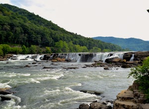
Sandstone Falls
5.00.52 mi / 46 ft gainStarting at the trailhead, follow signs for the falls. After a short walk, hikers will reach the walkway bridge where they can snap a couple shots of the minor Sandstone Falls to the right. Many hikers stop here, thinking these falls are the final destination. Do not make this mistake—the best is...Read more -
Millboro, Virginia
Hike Blue Suck Falls and the Tuscarora Overlook
3.47.2 mi / 2200 ft gainIn Douthat State Park, park at the Discovery Center/Amphitheater parking lot near the children's fishing area. The Blue Suck Falls trail head will be towards the dam on the left side and is well-marked.Note: A trail map is highly recommended for this trail! It is fairly well-marked with blue blaz...Read more -
Waiteville, West Virginia
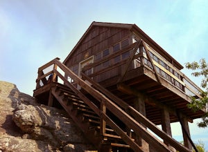
Hanging Rock Raptor Observatory
4.81.93 mi / 381 ft gainLocated on Limestone Hill Road north of Waiteville, WV at about 3800 feet above sea level is an old Fire watch tower. The tower, built in 1956 was abandoned in 1972. In 1983 the US Forest Department acquired this area as part of the Jefferson National Forest. Since then the Tower has become know...Read more -
Eagle Rock, Virginia
Hike Roaring Run Falls
4.72.4 miFrom 615 (Craig Creek rd) you turn on to 621 (Roaring Run rd) and about mile down is a little gravel road on the left that you turn down. Go down this gravel road a little ways to reach the parking area, you'll know you're there when you see a big gate held up by two stone pillars. Once you are r...Read more

