Lost City, West Virginia
Looking for the best hiking in Lost City? We've got you covered with the top trails, trips, hiking, backpacking, camping and more around Lost City. The detailed guides, photos, and reviews are all submitted by the Outbound community.
Top Hiking Spots in and near Lost City
-
Washington, Virginia
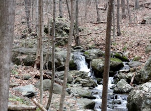
Hike Little Devil Stairs
4.75.5 mi / 1480 ft gainThis hike starts with an immediate stream crossing -- how wet your feet get depends on the water level but bring an extra pair of socks! The first mile consists of a typical Shenandoah hike -- uphill on a dirt path and along a stream. But soon you reach the base of Little Devil Stairs. This po...Read more -
Luray, Virginia
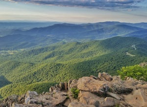
Stony Man Trail, Shenandoah National Park
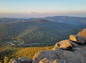
4.51.47 mi / 279 ft gainThis short, easy hike will take you to some of the best views in Shenandoah National Park. As an added bonus, it’s perfect for catching the sunset without a long walk back to your car in the dark. If you’re looking to increase the level of difficulty, there is an alternate, moderate trail option ...Read more -
Luray, Virginia
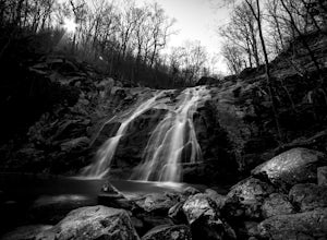
White Oak Canyon to Upper Falls
4.84.28 mi / 866 ft gainBetween mile 42 and 43 of Skyline Drive in Shenandoah National Park is the trailhead for WhiteOak Canyon. Begin at the trailhead from the parking lot and cross the Limberlost Trail in .3 miles. Continue on and you will cross your first footbridge shortly. After another mile you will cross the s...Read more -
Luray, Virginia
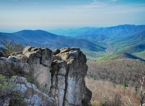
White Oak Trail to Lower Falls
5.06.68 mi / 1982 ft gainThe round trip is a total of 6.7 miles (10.8 km) from the Skyline Drive parking lot to the Whiteoak Canyon Trailhead parking lot (mile 42.6) to the final waterfall of the lower three. The elevation is moderate with a 900-foot drop to the upper falls, but an additional 1,100 feet to the lower fall...Read more -
Front Royal, Virginia
Explore Skyline Drive In Winter
4.5Skyline Drive is a winding highway that cuts straight through Shenandoah National Park. Being that we are in the south, you will find that the road is closed for the majority of the winter, and usually at the very mention of snow. The first few years of living here it was incredibly frustrating...Read more -
Luray, Virginia
Hike Limberlost Trail in Shenandoah National Park
5.01.3 mi / 114 ft gainThe Limberlost Trail is a loop trail within Shenandoah National Park. It is classified as 'accessible' as the trail is flat and has features that would help those in a wheelchair or with other needs access the trail (boardwalk, bridge, benches). There is little-to-no elevation change and the pat...Read more -
Luray, Virginia
Hike Robertson Mountain in Shenandoah NP
6 mi / 1200 ft gainRobertson Mountain is often overshadowed by the nearby Old Rag Mountain, but standing 5 feet taller than Old Rag, this hike offers seclusion and gorgeous views to the south. Starting from the Limberlost Trailhead parking lot at MP 43 on the Skyline Drive, take the chained off Old Rag Fire Road. ...Read more -
Luray, Virginia
Mary's Rock via Meadow Spring Parking Area
4.62.75 mi / 640 ft gainMary’s Rock is just south of the Thornton Gap Entrance in Shenandoah National Park’s Central District. This write-up details the hike from the Meadow Spring Parking area, but there are alternate routes starting from the Panorama parking area (3.7 miles round trip), Jewell Hollow Overlook (6 mile...Read more -
Luray, Virginia
Hike to Hazel Falls in Shenandoah National Park
5.05.2 mi / 100 ft gainThe trail to Hazel Falls may not be the most "wow" trail in Shenandoah but it is well worth it to reach the beautiful gorge where Hazel River falls over big boulders. You should park at the Meadow Spring parking lot at mile 33 on Skyline Drive. You will see the trail post to the right of the par...Read more -
Stanley, Virginia
Three Falls Hike
8.3 mi / 2200 ft gainThe Three Falls Hike in Shenandoah National Park will take you past three beautiful waterfalls all found within the central district of the park: Lewis Spring Falls, Dark Hollow Falls, and Rose River Falls. You are able to start the loop from any of the waterfalls’ trailheads, but I prefer to sta...Read more -
Stanley, Virginia
Camp at Big Meadows, Shenandoah National Park
4.4Visiting Shenandoah National Park for the first time can be quite overwhelming. The 109 mile long Skyline Drive, combined with over 500 miles of hiking trails, makes camping is a necessity if you truly want to experience Shenandoah.From the Appalachian thru-hiker to the RV'er, Big Meadows is perf...Read more -
Appalachian Trail, Virginia
Hike North Mount Marshall in Shenandoah NP
1 mi / 350 ft gainPark at the Mount Marshall parking area at ~MP 15.6 on the Skyline Drive. From the back of the parking lot, take the white-blazed Appalachian Trail north for a short 0.4 miles to a large rock outcrop with views south. After finished exploring this outcrop, continue on the AT for another 0.1 mil...Read more -
Stanley, Virginia
Hike the Rose River Falls to Dark Hollow Falls Loop
5.04 mi / 950 ft gainParking at the trailhead is a few miles north of Big Meadows at the Fisher's Gap Overlook parking area. You will find much more solitude along this loop trail than if you were to park at the Dark Hollow Falls trailhead as the Dark Hollow Falls is much more popular. That makes being able to fin...Read more -
Stanley, Virginia
Backpack Rose River Loop
5.04 mi / 900 ft gainThe trail can be found on Skyline Drive. Though it is a little challenging to locate, you should park at Fisher’s Gap Overlook (mile marker 49.4), and then walk over across the road and find the trail. You'll spot it by looking over the side of the road and then hiking down. The Rose River Loo...Read more -
Massanutten, Virginia
Kaylor's Knob Trail
4.03.56 mi / 381 ft gainKaylor's Knob Trail in Massanutten, Virginia is a moderately challenging hiking trail that spans approximately 3.56 miles. The trail is marked by a steady incline, making it a suitable choice for intermediate hikers. The trailhead is easily accessible, located near the Massanutten Resort. The tr...Read more -
Stanley, Virginia
Hike to Rose River Falls
4.54 mi / 853 ft gainRose River Falls is often overshadowed by it's more popular cousin, Dark Hollow Falls, as both hikes begin at the same trail head. But because Dark Hollow Falls is such a short and well known hike, it can get extremely crowded. It is also one of the few trails in Shenandoah where dogs are not al...Read more

