Danese, West Virginia
Looking for the best hiking in Danese? We've got you covered with the top trails, trips, hiking, backpacking, camping and more around Danese. The detailed guides, photos, and reviews are all submitted by the Outbound community.
Top Hiking Spots in and near Danese
-
Marlinton, West Virginia
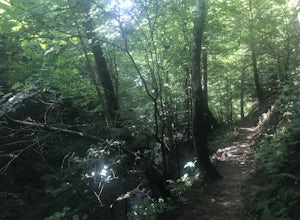
Red Spruce Knob
5.01.91 mi / 348 ft gainTo reach Red Spruce Knob trailhead from Marlinton, West Virginia, take HW 219N for about 7 miles then turn left onto HW150. Follow HW150 for about 5 miles, and the parking lot and trailhead will be on the left side of the road. The Red Spruce Knob trail is easy to follow and is well marked with b...Read more -
Hot Springs, Virginia
Backpack around Lake Moomaw
5.06.6 mi / 1200 ft gainOn your way to the trailhead don't forget to pull off the road at the scenic outlook to take in the vast expanse of Lake Moomaw (you won't miss it!).Start off your adventure by parking at the end of Twin Ridge Drive (37.976545, -79.985582). From this point, hike down the little paved driveway int...Read more -
Charleston, West Virginia
Hike CCC Snipe Trail Loop via Alligator Rock
3.1 mi / 600 ft gainLocated just outside of Charleston the Kanawha State Forest is a great to experience West Virginia. This hike in particular gives you a taste of the mountains as well as a look into the deep history of coal in the area. This hike allows encounters with wildlife, as well as, blackberries for a goo...Read more -
Newport, Virginia
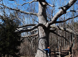
Hike to the Keffer Oak on the Appalachian Trail
4.32.6 mi / 600 ft gainYou can park your car at the small gravel lot where VA-42 and Rt. 629 intersect. Starting from the Appalachian Trail crossing at VA-42, head north on the AT, which winds through some grass meadows. After about 0.8 miles into the hike you will cross Rt. 630 (Northside Road) on a bridge over Sinki...Read more -
Newport, Virginia
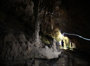
Hike through the New River Cave
4.72 mi / 332 ft gainAfter reaching the parking area, cross the road and continue up the trail for about 0.3 miles. At the kiosk, make sure to register in order to indicate that you are going into the cave. After passing the kiosk and some rocky portions of the trail, you will approach the cave entrance. The cave goe...Read more


