Charleston, West Virginia
Looking for the best hiking in Charleston? We've got you covered with the top trails, trips, hiking, backpacking, camping and more around Charleston. The detailed guides, photos, and reviews are all submitted by the Outbound community.
Top Hiking Spots in and near Charleston
-
Charleston, West Virginia
Hike CCC Snipe Trail Loop via Alligator Rock
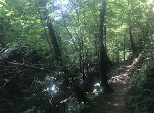
3.1 mi / 600 ft gainLocated just outside of Charleston the Kanawha State Forest is a great to experience West Virginia. This hike in particular gives you a taste of the mountains as well as a look into the deep history of coal in the area. This hike allows encounters with wildlife, as well as, blackberries for a goo...Read more -
Ansted, West Virginia
Turkey Creek Falls in Hawks Nest SP
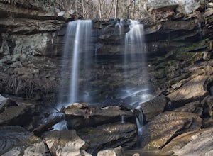
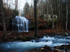
0.99 mi / 26 ft gainPark in the boat ramp lot by Hawks Nest Lake. Note that the road to get down to this parking lot is a one lane (two-way traffic) steep gravel road, but it is passable with low-clearance vehicles. From the parking area take the path towards the Hawks Nest Dam, also labeled the "Fisherman's Trail...Read more -
Ansted, West Virginia
Hike the Hawks Nest Rail Trail
4.33.6 mi / 200 ft gainYou can start walking on this well-graded rail trail either from Ansted or down by the New River at the Hawk's Nest Nature Center. If you start from the top you will lose a couple hundred feet in elevation and have to walk back up to your car (it is an easy walk though). Bikes are also allowed on...Read more -
Lansing, West Virginia
Canyon Rim Overlook Boardwalk
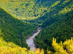
5.00.62 mi / 151 ft gainCanyon Rim Overlook Boardwalk is an out-and-back trail that takes you by a river located near Lansing, West Virginia.Read more -
Fayetteville, West Virginia
Hike the Long Point Trail
4.83.2 mi / 200 ft gainWith minimal elevation gain, this 3.2 mile hike can be done in a short amount of time. From the parking lot, take the trail to the right of the bathroom. There will be two trail intersections at 0.4 miles and 0.7 miles, both of which are well marked. Stay straight at both intersections to remain ...Read more -
Edmond, West Virginia
Hike the Endless Wall Trail
4.72 mi / 260 ft gainFrom the Fern Creek Trailhead this is a 2.0 mile out and back hike to Diamond Point. The trail is relatively flat with minimal elevation gain and has a bridge stream crossing. When you arrive at the sign stating "Climber's Access", take a short side trip here to see the views of the gorge. Contin...Read more -
Fayetteville, West Virginia
Hike the Kaymoor Miners Trail
5.02 mi / 900 ft gainKaymoor was on old West Virginia coal mining town that thrived in the early 1900's until it was abandoned in the 1950's. Along this trail you will see remnants of the old mine entrance, mining cars, a coal processing plant, and coke ovens, among other structures. This trail, although short, is qu...Read more -
Fayetteville, West Virginia
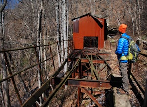
Hike to the Nuttallburg Headhouse
1.4 mi / 400 ft gainFrom Lansing-Edmond road, turn right onto Beauty Mountain Road. Go for 0.1 miles and the road will appear to split into three roads. The main road goes left, but take the middle road here. After another 0.1 miles you will arrive at a gate with a few parking spaces on the left side. Do not block t...Read more -
Fayetteville, West Virginia
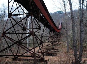
Hike Around the Trails of Nuttallburg
5.03 mi / 200 ft gain**The road to Nuttallburg is part gravel and only wide enough for one car. Take caution driving along this road-you may have to back up some if you meet another car. Nuttallburg is an old coal mining town that once thrived in the early 1900's, but fell into ruin and then was restored by the Natio...Read more -
Huntington, West Virginia
Hike Overlook Trail
4.01.4 mi / 250 ft gainLocated about 30 minutes from Huntington, the Overlook Trail gives hikers an overlooking view within Beech Fork State Park. Maps and brochures can be obtained at the park entrance. Admission is free. Upon entering the park, the trailhead is located in the first lot on your right. This trail is on...Read more -
Edmond, West Virginia
Beauty Mountain Trail
5.01.1 mi / 279 ft gainThe Beauty Mountain Trail Head is located less than 10 miles form Fayetteville, WV. To reach the trail head, you will have to travel down some very narrow roads, and I recommend going old school and printing out the directions because cell service in the area is not the best. Once at the trail ...Read more -
Summersville, West Virginia
Summersville Lake via Orange Oswald
2.56 mi / 262 ft gainSummersville Lake via Orange Oswald is an out-and-back trail near Summersville, West Virginia. Along the route you'll be following closely to the Gauley River and will get views of the both the river and Summersville Lake. This is a good trail if you're looking to stretch your legs and get a quic...Read more -
Danese, West Virginia
Camp at Babcock State Park
5.0Babcock State Park is one of 36 state parks in West Virginia and is located just Southeast of Fayetteville, WV. Babcock State Park has over 4,000 acres, making it a great place to camp while you explore the beautiful area. The campground has 51 campsites for tents and is open from the last week...Read more -
Danese, West Virginia
Island in the Sky Trail
5.00.8 mi / 108 ft gainTo reach the trailhead, park at the main parking area near Glade Creek Grist Mill. Cross the bridge toward the grist mill, and the trailhead is directly behind the mill. Even though the Island in the Sky trail is only a mile long out and back, it is lined almost the whole way with rhododendron bu...Read more -
Danese, West Virginia
Hike Skyline Trail at Babcock State Park
5.04 mi / 300 ft gainThe skyline trail is a 4 mile out and back trail that allows you to start from either end. I prefer to start from the lower trail head near Cabin 5. To get to this trailhead: enter the park, and follow the narrow road the leads to cabins 1-6. Drive down the road until you reach cabin 5, and find ...Read more

