Camp Creek, West Virginia
Top Spots in and near Camp Creek
-
Camp Creek, West Virginia
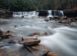
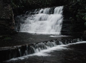
Photograph Mash Fork and Campbell Falls in Camp Creek SP
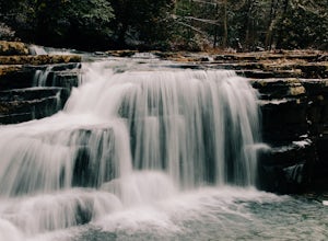
5.0Right off interstate I-77, Camp Creek State Park has two waterfalls that you can easily access: Mash Fork Falls and Campbell Falls. These falls can both have very low flows in late summer, so try to plan your visit for times of higher flows (early spring or after a rain). Mash Fork Falls is in th...Read more -
Princeton, West Virginia
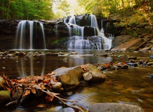
Brush Creek Falls
4.50.5 mi / 75 ft gainBrush Creek Falls is a beautiful 25' waterfall that spans across Brush Creek. It is accessed via a short 0.5 mile hike with minimal elevation gain. From the parking area on Brush Creek Falls Road, take the trail to the right of the picnic shelter. This easy and relatively-flat trail through rhod...Read more -
Princeton, West Virginia
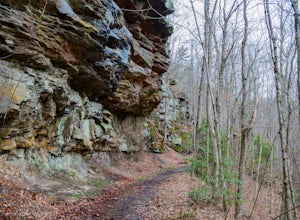
White Oak Falls via Brush Creek Falls Trail
3.69 mi / 574 ft gainThis is a wonderfully easy hike to White Oak Falls. After visiting Bush Creek Falls, keep walking down the trail. You'll enter the Bush Creek Nature Preserve area. If you visit after heavy rains, please note that your feet will get wet. There are numerous cascades that come down and cross over t...Read more -
Shady Spring, West Virginia
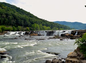
Sandstone Falls
5.00.52 mi / 46 ft gainStarting at the trailhead, follow signs for the falls. After a short walk, hikers will reach the walkway bridge where they can snap a couple shots of the minor Sandstone Falls to the right. Many hikers stop here, thinking these falls are the final destination. Do not make this mistake—the best is...Read more -
Narrows, Virginia
Hike Sentinel Point and Mill Creek Falls
5.07.8 mi / 1800 ft gainThere are many trails in the area so here is a map to start out because it can get confusing:http://gilescounty.org/images2/Map-Town%20Farm-Hiking%20Trails%20%282010%29.pdf.From the parking area, keep to the left side of the stream and head up the gravel road. You'll soon come to the Mill Creek ...Read more -
Narrows, Virginia
Rice Fields via Appalachian Trail
5.05.24 mi / 1302 ft gainThis hike begins on the Appalachian Trail just north of Pearisburg, Virginia. To get to the trail head, take Route 460 and turn on to Clendennin Road(Route 641). Take Clendennin road 1.5 miles and then turn left on to Pocahontas road. In about 300ft you will pass a cattle grate and an old barbed ...Read more -
Beaver, West Virginia
Grandview Overlook in the New River Gorge
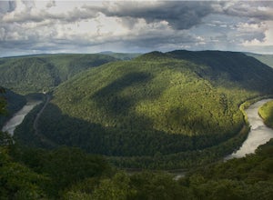
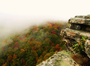
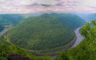
5.0From the main parking lot at Grandview's visitor center, follow the well marked paved trail about 0.1 miles to the Main Overlook. There is a large platform for viewing the New River here. A wide angle lens is best to photograph this large bend in the river. There is another overlook in the park...Read more -
Pearisburg, Virginia
Hike Angels Rest and the Wilburn Valley Overlook
4.6For a tough hike with rewarding views, check out Angels Rest and the Wilburn Valley Overlook. Easily accessible from US-460 near Pearisburg, this hike along the Appalachian Trail gains a total of 1600’ elevation is a 4.6 mile round trip hike. Angels Rest is a large boulder that overlooks the New...Read more -
Pearisburg, Virginia
Photograph Dismal Falls
4.50.1 mi / 0 ft gainExplorers in Southwest Virginia run into a common problem: local hikes and waterfalls are often saturated with college students out enjoying a warm day. While it's wonderful to have so many people appreciating the beauty of the Jefferson National Forest, it can be difficult to find a remote, quie...Read more -
Layland, West Virginia
Raft the New River
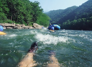
5.0There are several rafting companies all which offer pretty much the same half day rafting packages. Each include lunch, a raft, a guide and a trip back to your car when it’s all said and done. The water here is very warm and you can swim, cliff jump, and swim down a few rapids. Enjoy the scenery ...Read more -
Ripplemead, Virginia
Cascade Falls
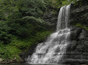
4.93.81 mi / 732 ft gainThe 66' Cascade Falls located in Giles Count is arguably one of the most beautiful waterfalls in Virginia. This classic hike is 4.0 miles and gains 800' in elevation. Located in Pembroke, Virginia, access the trail head by taking Cascade Drive (VA-623) off of US-460 and drive 3.3 miles to the p...Read more -
Ripplemead, Virginia
Hike Barney's Wall
4.68.4 mi / 1600 ft gainThis hike begins in the parking lot for Cascade Falls. Keep left at the first and second intersections to stay on the Upper Trail. At the third intersection, stay straight (don't turn right) to stay on the Conservancy Trail.Follow the Conservancy Trail for 0.4 miles, and continue on it when it br...Read more -
Newport, Virginia
Hike through the New River Cave
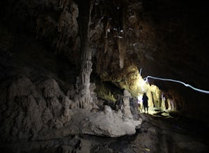
4.72 mi / 332 ft gainAfter reaching the parking area, cross the road and continue up the trail for about 0.3 miles. At the kiosk, make sure to register in order to indicate that you are going into the cave. After passing the kiosk and some rocky portions of the trail, you will approach the cave entrance. The cave goe...Read more -
Pembroke, Virginia
Hike to Wind Rock
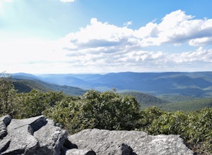
4.70.5 mi / 400 ft gainAt the parking lot cross the gravel road to the trail head that starts at a map posted on the edge of the road. Hike a quick quarter-mile where you'll turn left to a large rocky outcrop with views of the blueridge. You'll pass a campsite with fire ring before the rocky outcrop and overlook. I've ...Read more -
Pembroke, Virginia
Bald Knob Trail
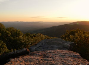
4.80.93 mi / 387 ft gainUnobstructed views with little hiking effort make Bald Knob one of the best locations to see the sunset in southwestern Virginia. Easy to access from US-460 in Giles County, take Mountain Lake Road (VA-700) for 7 miles and park in the gravel lot on the left by the intersection of VA-613 and Moun...Read more -
Blacksburg, Virginia
Float New River
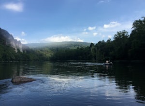
5.0Starting at the "falls" below the New River Junction you can enjoy a three day float trip down to Bluff City near Pearisburg. [Tangent Outfitters in Pembroke can rent you kayaks and shuttle you to the start point and pick you up at the end point if you don't have 2 vehicles to leave] Trip can be ...Read more
Top Activities
Camping and Lodging in Camp Creek
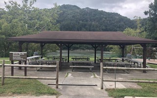
Hinton, West Virginia
Bluestone Lake Picnic Shelter
Overview
Bluestone Lake Picnic Shelter is a day-use area near the shores of Bluestone Lake in southern West Virginia. The 2,040 acres of ...
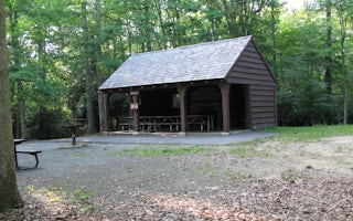
Beaver, West Virginia
Grandview Shelter 1
Overview
Grandview Shelter #1 is a smaller shelter located on a hill just off the Grandview Rim Trail near the North Rim Overlook. It ca...
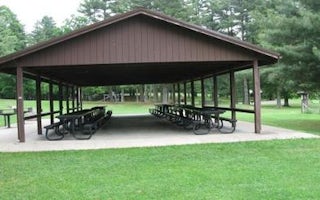
Beaver, West Virginia
Grandview Playground Shelter
Overview
The Playground Picnic Shelter is the main shelter at Grandview. It is closest to the main playground and ball fields, located j...
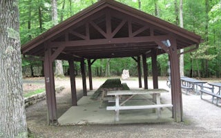
Beaver, West Virginia
Grandview Shelter 3
Overview
Grandview Shelter #3 is a small shelter shaded by the canopy of the forest. It will hold approximately 30 people inside and 42 ...
Beaver, West Virginia
Grandview Shelter 2
Overview
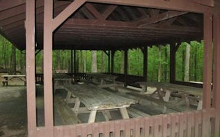
Grandview Shelter #2 is a larger shelter located under the canopy of the forest. It can accommodate up to 80 people inside and ...
Beaver, West Virginia
Grandview Shelter 4
Overview
Grandview Shelter #4 is a medium size shelter located under the canopy of the forest. It can accommodate up to 64 people inside...

