Verlot, Washington
Top Spots in and near Verlot
-
Darrington, Washington
Backpack to Glacier Peak Meadows and White Chuck Glacier
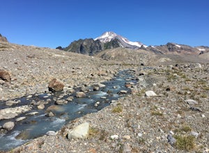
34 mi / 9000 ft gainStarting at the North Fork Sauk Trailhead (NFD 49) off the Mountain Loop Highway, you will travel 5.3 miles and gain a leisurely 1,100 feet of elevation until you reach Mackinaw Shelter. This is where the real work begins. The trail gains a calf-burning 3,000 feet in the next 2.9 miles until you ...Read more -
Gold Bar, Washington
Blanca Lake
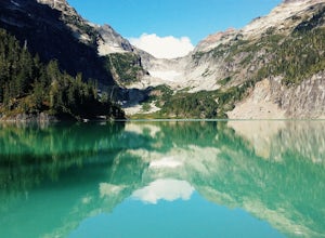
5.07.42 mi / 3540 ft gainAlthough the drive to the trailhead is mostly over gravel roads, Blanca Lake is a very popular hike. The drive is better for cars with clearance and AWD capabilities. The trail gets right down to it gaining almost 3,000 feet in the first 3 miles. But don't worry, the hard work is well worth the...Read more -
Gold Bar, Washington
Winter Backpack to Blanca Lake
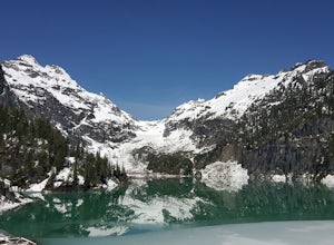
7.5 mi / 3300 ft gainSince Blanca Lake is a very popular place for folks to explore and with the nice and sunny weekend. I drove out Friday night and slept in my Jeep. Got up at 7:30am when folks first started arriving to the trail head.A couple of things to keep in mind before you start this hike. The 7.5 miles ro...Read more -
Woodinville, Washington
Woodland Plateau and Lloyd Trail Loop
5.02.63 mi / 276 ft gainWoodland Plateau and Lloyd Trail Loop is a loop trail where you may see local wildlife located near Woodinville, Washington.Read more -
Gold Bar, Washington
Barclay Lake
4.44.4 mi / 607 ft gainWith less than 500 feet of total elevation and 4.4 miles of round trip hiking, the Barclay Lake trail is a perfect hike for beginners, families, or those looking for a quick morning or afternoon jaunt. Yet dont let the simplicity of the hike fool you. The end result of the hike is nothing short o...Read more -
Gold Bar, Washington
Baring Mountain
4.62 mi / 3556 ft gainDon't let the low mileage trick you – this is not an easy climb. Give yourself plenty of time to summit this beast of a mountain. Starting at the Barclay Lake Trailhead, be careful not to jump onto the Barclay Lake Trail. The path to Baring Mountain is hidden down a path leading from the bathroo...Read more -
Gold Bar, Washington
Eagle Lake via Barclay Lake Trailhead
8.5 mi / 2000 ft gainStart off on the same trail as Barclay Lake. After 2.25 miles, you will arrive at Barclay Lake. This lake can be quite busy in the summer months as it is relatively easy to access, and you may see many people camping there with their kids. Continue around the lake until you almost reach the east...Read more -
Darrington, Washington
Hike to Green Mountain
8.5 mi / 3200 ft gainAfter the long drive down FR 26, turn onto FR 2680. 6 miles down the road, you'll see what slightly resembles a trail to your left. Park and prepare for your gorgeous hike!The trail starts with a 1.5 mile windy trek through the woods. You'll pop out onto the lush meadows of the mountain sides. He...Read more -
Leavenworth, Washington
Evergreen Mountain Lookout
4.52.88 mi / 1522 ft gainThis is a relatively short hike, at only 2.6 miles round trip, that takes you up to the nearly 5600 foot summit. The hike may be short but it is extremely steep, gaining 1300ft in the 1.3 miles to the summit, so be prepared for a good leg workout. On the way to the top you will walk through field...Read more -
Edmonds, Washington
Hike to Meadowdale Beach
5.0If you plan to hike to this beach on the weekend, arrive early because the parking lot fills up fast. From the trailhead, hike down through an old forest along a stream to reach Meadowdale Beach Park. Take in the sounds of birds, wildlife, and the stream adjacent to the trail. At one mile you wil...Read more -
Skagit County, Washington
Sauk Mountain Summit 5,541'
4.34 mi / 1200 ft gainEven from the Trailhead, the views overlooking the Skagit River valley, all the way out toward Mount Vernon, are outstanding. The trail follows 20 tight switchbacks as it makes it's way 600 feet up to the southern crest of the summit ridge. This is a steep slope and it's possible to look straight...Read more -
Snohomish County, Washington
Hike Johnson Ridge to Scorpion Mountain
9 mi / 2650 ft gainFrom Skykomish, WA drive east on SR 2 roughly 1 mile and turn left on the Beckler River Road, FS RD 65. Drive north on this road approximately 7 miles taking a sharp right at the pavement's end just before crossing the Rapid River. You are now on FS RD 6520. Continue on this road bearing left a...Read more -
Mountlake Terrace, Washington
Kayak Lake Ballinger
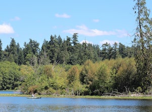
4.0Getting Here: Heading North on I5 from Seattle Center, take exit 178 for 236th Street SW and Lakeveiw Dr. Take a left on Lakeview Dr. and follow along for a half a mile before you see the Lake Ballinger Boat Ramp parking area on the left. There is a community park and rental facility on the noir ...Read more -
Kirkland, Washington
Forbes Creek Stairs
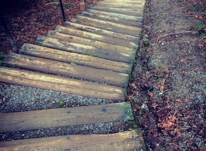
3.00.19 mi / 92 ft gainAll benefits of a stair master paired with fresh air is the perfect recipe for a northwest workout. 210 wooden railroad ties make up a staircase that will test your endurance, build strength and get you sweating in no time. The stairs are open year round, 24 hours a day and offer parking for abo...Read more -
Skykomish, Washington
Beckler Peak
7.55 mi / 2139 ft gainLooking for a gradual forest hike up to a peak with 360° views of the Cascades? Beckler Peak trail winds through old growth, past rushing waterfalls, and up to a granite summit. From the top, you can see mountains in the Cascades such as Glacier Peak, Mount Baring, Mount Index, Evergreen Mounta...Read more -
Skykomish, Washington
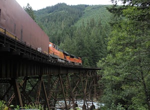
Photograph the Foss River Trestle
5.0Traveling east from Seattle on Highway 2, take a right hand turn onto Foss River Road (Road 68) just after the township of Skykomish. The pavement ends in 1.1 miles, beyond that be cautious of potholes. Continue along this road for a further 1.3 miles, at which point you will pass under a railroa...Read more

