Sumas, Washington
Looking for the best hiking in Sumas? We've got you covered with the top trails, trips, hiking, backpacking, camping and more around Sumas. The detailed guides, photos, and reviews are all submitted by the Outbound community.
Top Hiking Spots in and near Sumas
-
Oak Harbor, Washington
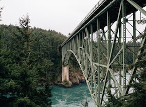
Photograph the Deception Pass Bridge
4.5Once you've parked your car, there is a $10 fee which can be paid at the station right next to the bridge unless you have a Discover Pass. From there, you can either go down the stairs to the beach or continue to walk across. Towards the middle, there are some stairs to get down and take some pho...Read more -
Oak Harbor, Washington
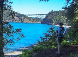
North Beach Trail
4.01.4 miA strait separating Whidbey Island from Fidalgo Island, Deception Pass and the bridges that span it are a fascinating day trip from Seattle. Located 82 miles from Seattle, a 90 minute drive will get you to the Deception Pass State Park. Once here, there are a myriad of activities to do - explore ...Read more -
North Vancouver, British Columbia
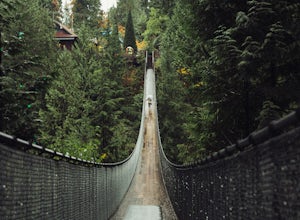
Explore the Capilano Suspension Bridge
3.8This is a great place to visit to get a feeling for the outdoors of Canada. The bridge is a little scary when a lot of people are walking across, but it is well worth the look.Measuring 140 m (460 ft) long, the bridge crosses over the Capilano River in the District of North Vancouver, British Col...Read more -
North Vancouver, British Columbia
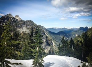
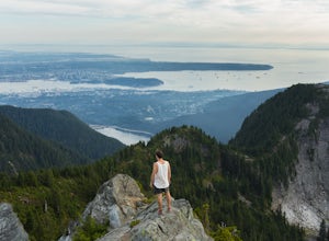
Hike Goat Mountain
4.05 mi / 984.3 ft gainGoat Mountain is a picturesque hike that starts from the top of the Grouse Mountain Ski Resort. On a sunny, clear day, the top of Goat Mountain can offer views of Vancouver and even as far away as Mount Baker, Vancouver Island, and some of the mountain ranges in Garibaldi Provincial Park near Squ...Read more -
Marblemount, Washington
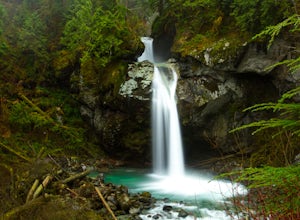
Hike Lazy Bear Falls
3.0To get to Lazy Bear Falls, take Bacon Creek Road off the North Cascade Highway for 5 miles. At the 3-way fork, take the left road, which will lead you down and over a bridge crossing Bacon Creek. From here, the road will require 4x4 and high clearance.From here, continue up the road for about 0.5...Read more -
North Vancouver, British Columbia
Hike Crown Mountain
5.06.1 mi / 1263.1 ft gainYou can take the gondola up Grouse Mountain and then hike from there which roughly takes around 5 hrs at a decent pace. The hike is a hard one that is a lot of up and down and a fair bit of climbing.You can start at the top of the Skyride on Grouse Mountain, follow the paved path to the grizzly b...Read more -
Hope, British Columbia
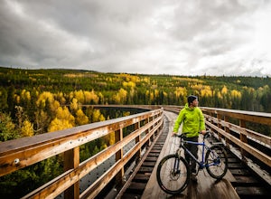
Cycle the Kettle Valley Rail-Trail
4.0Top 10 Areas of Interest - from West to East (1) Coquihalla Canyon Provincial Park(2) Red Ochre cliffs in the Tulameen(3) Trout Creek Trestle & The Kettle Valley Steam Train(4) Penticton's Munson Mountain & the Naramata Bench(5) The Little & Big Tunnel above Naramata(6) Myra-Bellevue ...Read more -
West Vancouver, British Columbia
Hike Up Brothers Creek Loop
4.3 mi / 1312.3 ft gainThe directions to get to this location are a bit scattered as you need to weave through the upper streets of the British Properties. Driving Instructions If you are coming along Highway #1, take the Taylor Way exit and turn right (coming from the east) or left (coming from the west) onto Taylor W...Read more -
Lopez Island, Washington
Watmough Bay Trail
4.01.59 mi / 453 ft gainThe Watmough Bay Trail on Lopez Island, Washington, is a moderate-level hiking trail that stretches for approximately 1.59 miles. The trail is known for its unique natural features, including a prominent cliff face, a pebble beach, and a protected bay. The trail is relatively flat, making it acce...Read more -
Friday Harbor, Washington
Hike to Lovers Leap on Stuart Island
5 mi / 200 ft gainThis hike is only doable if you are already on Stuart Island! There is no public transportation to Stuart Island, so you must already be there or have a plan to be there in order to complete this hike.I frequent this island during the summer months and it is one of my favorites. I always stay in ...Read more -
Hope, British Columbia
Hike the Kettle Valley Trail through the Othello Tunnels
3.03.4 mi / 300 ft gainThis 5.5km loop family-friendly hike is highly accessible and an easy jaunt into the beautiful Coquihalla Canyon Provincial Park. Just two hours from Vancouver, the loop hike will take you up and down through some lush forest towards the beautiful old railway tunnels which were built in the early...Read more -
Marblemount, Washington
Thornton Lakes & Trappers Peak
3.710.57 mi / 3885 ft gainTo get to your campground or to Trappers Peak, hike roughly five miles along the trail to ridge, where the trail divides. If you head left you'll go down into lake basis where you can drop your gear. Come back to the divide and head right, which will lead you up to trappers peak. Something to ke...Read more -
Marblemount, Washington
Winter ascent of Trappers Peak
9.78 mi / 3448 ft gainNorth Cascade National Park is home to some of the most rugged and remote mountains in the lower 48 states. Because of this, the area is rarely seen up close and personal in the winter, but there are a few spots where you can see these wild mountains that will defy all imagination. In terms of lo...Read more -
Friday Harbor, Washington
Hike to Young Hill
4.01.2 mi / 650 ft gainFrom the main parking lot at English camp, follow the wide path east and cross West Valley road to the trailhead of Young Hill. The trail switchbacks several times and leads you past the English Camp cemetery. Continue left on the main trail through the forest of Pacific Madrone trees until you r...Read more -
West Vancouver, British Columbia
Snowshoe Hollyburn Mountain
5.06.5 mi / 450 ft gainPark in the Hollyburn cross country parking lot and start your hike up the under the powerlines. After about 15 mins the trail will flatten out and you will arrive at the warming hut. Take a left and follow the orange markers as it slowly weaves its way through a series of trees and valleys.Event...Read more -
Friday Harbor, Washington
Hike Mount Grant on San Juan Island
2 mi / 500 ft gainMount Grant Preserve is still in the midst of becoming an official park, but is open to the public for hiking, so you will get to see this amazing spot before it's too crowded. With a trial system currently being made, most people hike up the established road, but there are well marked signs to h...Read more

