Skagit County, Washington
Looking for the best backpacking in Skagit County? We've got you covered with the top trails, trips, hiking, backpacking, camping and more around Skagit County. The detailed guides, photos, and reviews are all submitted by the Outbound community.
Top Backpacking Spots in and near Skagit County
-
Arlington, Washington
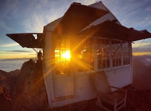
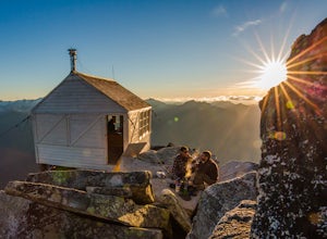
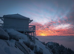
Three Fingers Lookout
4.514.31 mi / 4357 ft gainApproximately 11 miles east of Granite Falls, WA, on the Mt. Loop Highway, turn onto Forest Service road 41 and follow this road for 18.0 miles to the trailhead. The road is quite rough and it is recommended you have a four-wheel drive vehicle. There is a washout about halfway along the road, an...Read more -
Concrete, Washington
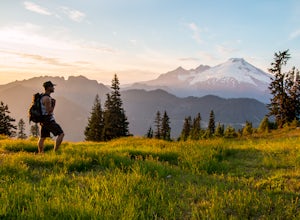
Dock Butte
4.53.92 mi / 1388 ft gainDock Butte is an easy hike offering truly spectacular 360 degree views of the Mt. Baker region. In summer this summit can be done as an easy walk up. It is especially good during the late summer for hikers and introducing someone into hiking. From the parking lot the trail goes through forest wi...Read more -
Concrete, Washington
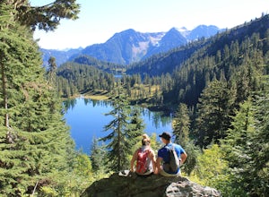
Anderson and Watson Lake
5.68 mi / 1165 ft gainThe drive up to the starting point of the trail to Anderson and Watson Lake was easy, but at the end it gets a little tricky - the service road is sharp gravel and runs for about 10 miles to the trailhead. Some spots are steep and there are large potholes, but slow and steady wins the race. There...Read more -
Concrete, Washington
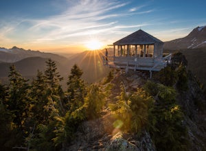
Park Butte Lookout
4.57.64 mi / 2100 ft gainThis place is really the stuff of fairy tales. Where else can you find a tiny cabin with 360-degree views of stunning mountain scenery? To the west, you can see all the way to Bellingham and the Puget Sound. To the south and east lie the jagged North Cascades. And the entire northern horizon is ...Read more -
Concrete, Washington
Backpack the Easton Glacier Railroad Grade
10 mi / 3000 ft gainBegin at the Park Butte trailhead, trail 603. Hike past the first Scott Paul trail sign a few hundred feet from the trailhead. Continue on and cross appropriately name Rocky Creek heading up on the Park Butte Trail. Continue up the Park Butte trail passing the Scott Paul trail again at about 4,50...Read more -
Concrete, Washington
Climb Mt. Baker via Squak Glacier
10 mi / 7500 ft gainNOTE: THIS ROUTE REQUIRES GLACIER TRAVEL SKILLSMt Baker, or Kulshan, is a remarkable mountain in northwest Washington. Whether you're in Anacortes, Bellingham, Vancouver or on the San Juan Islands you can see Mt Baker standing as a citadel over the Northwest. Unlike the more popular routes like t...Read more -
Marblemount, Washington
Lookout Mountain Trail
5.09.06 mi / 4610 ft gainBeginning about 7 miles down the Cascade River Road from Marblemount, the Lookout Mountain Lookout trailhead is on the north side of the road with parking for about 4-5 cars. With about 4500' elevation gain in 4.7 miles, this hike is definitely a thigh burner. The trail begins with a steep climb...Read more -
Granite Falls, Washington
North Lake via Independence Lake
5.56 mi / 2431 ft gainNorth Lake is everything you could want in a subalpine lake: emerald green hues, cold, clear water, lots of brook trout and far from cell-phone reception. This backpack is perfect when the weather gets hot and sunny, though it does reside in what is known as “the wettest section of the Cascades,...Read more -
Marblemount, Washington
Hidden Lake Lookout
4.97.39 mi / 3415 ft gainBe careful when heading up this 4.5 mile trail since there can be snow coverage into the summer. When you start the trail, you'll get a little tree coverage as you start climbing up. Unfortunately, the shade starts to dissipate after about a mile, where you'll cross over Sibley Creek and enter th...Read more -
Darrington, Washington
Scramble Mount Pugh
5.011 mi / 5300 ft gainNot for the faint of heart - or those with a fear of heights - Mount Pugh offers some of the most rewarding summit views in the Cascades.Located off the northern end of the Mountain Loop Highway, this is an easy day trip from anywhere in the Puget Sound area. Though finding the trailhead can be t...Read more -
Marblemount, Washington
Winter ascent of Trappers Peak
9.78 mi / 3448 ft gainNorth Cascade National Park is home to some of the most rugged and remote mountains in the lower 48 states. Because of this, the area is rarely seen up close and personal in the winter, but there are a few spots where you can see these wild mountains that will defy all imagination. In terms of lo...Read more -
Marblemount, Washington
Thornton Lakes & Trappers Peak
3.710.57 mi / 3885 ft gainTo get to your campground or to Trappers Peak, hike roughly five miles along the trail to ridge, where the trail divides. If you head left you'll go down into lake basis where you can drop your gear. Come back to the divide and head right, which will lead you up to trappers peak. Something to ke...Read more -
Granite Falls, Washington
Mount Pilchuck Lookout
4.85.22 mi / 2113 ft gainHike the well-maintained Mount Pilchuck Lookout trail through a variety of terrain: old-growth forest and granite boulder fields. At the top, you'll reach a lookout tower perched on Mount Pilchuck. Pilchuck sits on the western edge of the Cascades, which offers up amazing panoramic views once you...Read more -
Marblemount, Washington
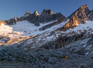
Terror Basin and West McMillan Spire
16.98 mi / 8868 ft gainThe Picket Range is a remote and rugged subrange of Washington's North Cascades. It draws very few visitors per year, and the odds of seeing another human on your adventure are very low. West McMillan Spire is an 8,000' peak located in the Southern Pickets. It is a Class 3 climb involving bot...Read more -
Marblemount, Washington
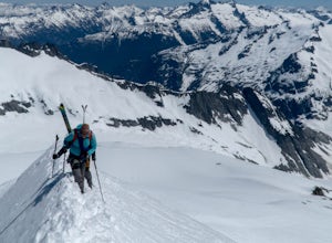
Climb Eldorado Peak via the East Ridge
8 mi / 6800 ft gainStanding on the knife edge summit, the terrain around you plummets steeply into glacier-filled basins that trickle into turquoise alpine lakes. Serrated snowy peaks give way to forest covered valleys below that craft a rugged landscape. Eldorado Peak delivers you atop this wild and mountainous wo...Read more -
Granite Falls, Washington
Mt. Dickerman Summit
7.93 mi / 3675 ft gainIn general, this is a strenuous hike or snowshoe at approximately 8 miles round trip with nearly 4000 elevation gain. Be aware of current snow conditions and avalanche risk if heading up in the winter. Do not attempt a winter trip without proper knowledge, skill, and gear. Some previous winter tr...Read more

