Ronald, Washington
Top Spots in and near Ronald
-
Enumclaw, Washington
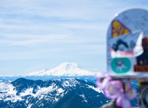
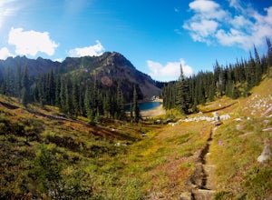
Hike Grand Park and Lake Eleanor
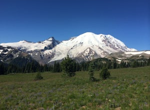
9 mi / 1100 ft gainPrepare in advance to hold your jaw from dropping. Stunning views of Mt. Rainier await visitors of Grand Park. A quick jaunt through the forest via the trailhead leads first to Lake Eleanor. Well groomed campsites are available for overnight stays.Head past Lake Eleanor and you're on the way to G...Read more -
North Bend, Washington
Hike Pratt Balcony
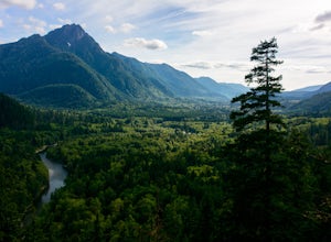
2.2 miThis one can be a bit tricky to find. The trailhead is unmarked and is a bit hidden around a curve of Middle Fork Road so it is easy to miss. At about 9.80 miles from the junction of 468th St. and Middle Fork Road, look for two signs on the right warning of upcoming gravel patches (probably will ...Read more -
Leavenworth, Washington
Scenic Hot Springs
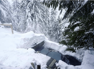
3.21 mi / 1135 ft gainScenic Hot Springs is a privately owned hot spring located near Stevens Pass outside of Leavenworth, Washington. To access the three steaming pools, please visit ScenicHotSprings.com to make a reservation. Reservations are required. The three tubs have varying temperatures and only 10 people ar...Read more -
North Bend, Washington
Hike Mount Washington
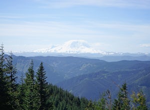
4.32.89 mi / 3058 ft gainYou start out at an elevation of about 1200 feet and you gradually make your way up to the top at 4450 feet. You are hiking through forest land the whole time with peaks of a beautiful view to the north every so often. Along the way there are many rock walls which you can climb at, however on our...Read more -
Skykomish, Washington
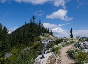
Pacific Crest Trail's Section J: Stevens Pass to Snoqualmie Pass
70.27 mi / 14911 ft gainThis is the Section J hike of the Pacific Crest Trail between Stevens and Snoqualmie Pass. It is about a 70 mile hike, and I started near Stevens Pass heading South. The PCT starts at the Stevens Pass Ski Resort off of Highway 2. The trail starts out under chairlifts and through ski runs – I chos...Read more -
Skykomish, Washington
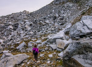
Climb Slippery Slab Tower
13 mi / 4200 ft gainStart out at the Tunnel Creek trailhead. You will follow the trail for about 1.6 miles until you reach Hope Lake and the PCT. From here, you want to travel south along the PCT.For the next 3/4 of a mile, you will hike up switchbacks until you reach the saddle, where it will start to level out a b...Read more -
Skykomish, Washington
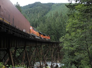
Photograph the Foss River Trestle
5.0Traveling east from Seattle on Highway 2, take a right hand turn onto Foss River Road (Road 68) just after the township of Skykomish. The pavement ends in 1.1 miles, beyond that be cautious of potholes. Continue along this road for a further 1.3 miles, at which point you will pass under a railroa...Read more -
Naches, Washington
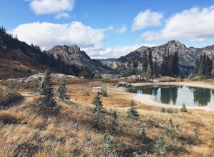
Hike the Naches Peak Loop Trail
5.03.5 mi / 700 ft gainNaches Peak Loop Trail is a great introductory trail to Mount Rainier National Park situated on the Eastern side of Rainier. Half located within Mount Rainier NP and half within Okanogan-Wenatchee National Forest, Naches Peak is a 3.5 mile trail with minimal elevation gain (700ft) yet with views ...Read more -
North Bend, Washington
Mailbox Peak Old Trail
4.44.96 mi / 3898 ft gainNote this adventure covers the old route. For the updated route, check out Hike Mailbox Peak New Trail. Take exit 34 from I-90. Head north on 468th Ave SE until the intersection with the SE Middle Fork Road. Turn right onto the Middle Fork Road. Follow SE Middle Fork Road 2.2 miles to the stop ...Read more -
Wenatchee, Washington
Hike to Saddle Rock
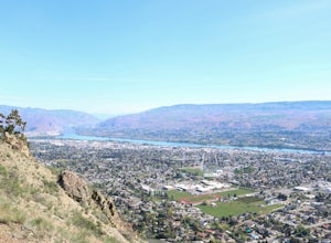
3.02 mi / 920 ft gainStarting from the south end of Wenatchee, hike straight up the obvious wide trail to the south side of Saddle Rock. You'll wind around the iconic rock feature and approach it from the back. A short and steep hike will reward you with wide open views of the Wenatchee Valley as you crest the hill...Read more -
Enumclaw, Washington
Explore Tipsoo Lake
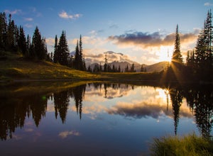
4.0Tipsoo Lake provides a great spot for capturing a sunset at Mount Rainier. There are two lakes at Tipsoo, with Upper Tipsoo Lake providing a better view of the Mountain. To access Upper Tipsoo Lake, drive past the main parking lot for Tipsoo Lake and park at the pullout around the bend on the sam...Read more -
Ellensburg, Washington
Hike the Rattlesnake Dance Ridge Trail
4.72.6 mi / 1350 ft gainStarting at an elevation of 2050 feet and immediately off the gravel parking lot to the side of Canyon Road, begin the uphill charge on the vast, empty Rattlesnake Dance Trail. A few steps in, the tone will be set as to what you are up against.Although less than a mile and a half in distance, do ...Read more -
North Bend, Washington
Mailbox Peak New Trail
4.210.53 mi / 4127 ft gain*Disclaimer this article is in regards to the newly built trail.* For the old trail, head to Hike Mailbox Peak. Just off of exit 34, Mailbox Peak offers a birds-eye view of the surrounding area. This hike begins at a mere 800 ft. above sea level and by the time you are done you are nearly touch...Read more -
Ashford, Washington
Hike to Upper Palisades Lake
6.6 mi / 1200 ft gainPark at the Sunrise Point parking lot and find the Palisades Trail at the northeast corner of the parking lot. If you bring along a pair of binoculars, you can stop at the first overlook on the left and scan the adjacent mountain slopes for the white dots of mountain goats. Continue down the trai...Read more -
North Bend, Washington
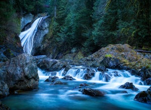
Twin Falls
3.32.51 mi / 778 ft gainFor a portion of this 3-mile hike, you'll trek next to the South Fork Snoqualmie River, so take in the peaceful sound of the river running. Along the trail runs a river, where massive boulders create wading pools of icy water for warm summer days. At 1.5 miles, you'll reach a viewpoint bridge, wh...Read more -
Skykomish, Washington
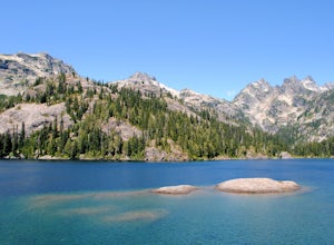
Hike to Josephine Lake
10.4 mi / 2100 ft gainStarting in the parking lot at Steven's Pass Ski Resort (roughly 4,062 feet in elevation; I recommend parking in E lot), start by walking between the two main lodges towards the ski lifts. You'll see a trail on the northwest-facing slope that switches back across the mountain - this is the PCT. O...Read more

