Rattlesnake Ledge, Washington
Looking for the best hiking in Rattlesnake Ledge? We've got you covered with the top trails, trips, hiking, backpacking, camping and more around Rattlesnake Ledge. The detailed guides, photos, and reviews are all submitted by the Outbound community.
Top Hiking Spots in and near Rattlesnake Ledge
-
Lewis County, Washington
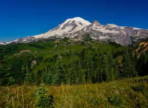
Hike Indian Bar - Cowlitz Divide via Box Canyon
14.64 mi / 4235 ft gainThere are multiple ways to access Indian Bar. This one starts at Box Canyon. From the parking area at Box Canyon walk across the road and follow the signs for Wonderland Trail. Head up the Wonderland trail through the trees to the split with the Cowlitz trail. Continue on the Wonderland Trail...Read more -
Leavenworth, Washington
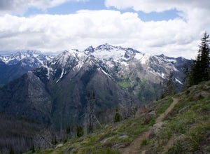
Hike Fourth of July Creek to Icicle Ridge
12 mi / 4800 ft gainMost adventurers travel down Icicle Creek Road to visit Colchuck Lake and the Enchantment Basin. But, if you're looking for an adventure for a cool summer morning without the crowds, continue past the Colchuck/Stuart forest road and explore this trail! Expansive views of the entire Stuart range...Read more -
Ashford, Washington
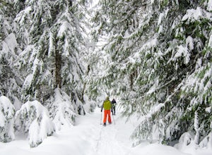
Snowshoe to Longmire Lookout
4.1 mi / 800 ft gainStarting at the Longmire Trailhead, cross the road and begin snowshoeing counter-clockwise on the Trail of Shadows. This first 0.5 miles begins the hike as a nice warm up where you can make sure your snowshoes are adjusted properly and stop from time to time to learn some facts from the interpre...Read more -
Ashford, Washington
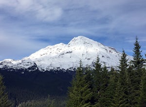
Hike the Rampart Ridge Trail to Wonderland Trail Loop
6 mi / 1870 ft gainThis is a wonderful loop to do that avoids some of the crowds on the flatter trails and gives you an amazing view of the mountain. Park in the Longmire parking lot where the National Park Inn and Longmire Museum are. Walk across Paradise Rd E to join up with the Trail of the Shadows. Head north o...Read more -
Eatonville, Washington
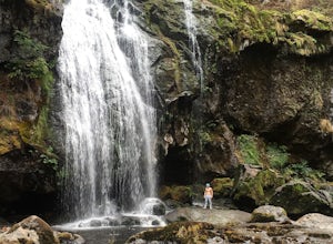
Hike to Little Mashel Falls
4.75.3 mi / 646 ft gainIf you have been trying to get behind a waterfall Eatonville Falls is the place to hike and get a great feeling out of it. Hiking to the waterfall would lead you to a railroad and pass it would lead to a river where you would follow it down to get to the waterfall. The hike itself is pretty sim...Read more -
Packwood, Washington
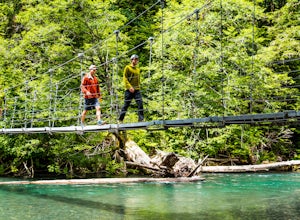
Hike the Grove of the Patriarchs
3.01.5 miThis trail is an easy trail to hike to the end and back. With very little to no elevation gain, some comfy shoes is all you need. There is a great opportunity near the start of the trail to walk down onto the beach and get right next to the river. Shortly after that there is a suspension bridge t...Read more -
Packwood, Washington
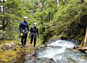
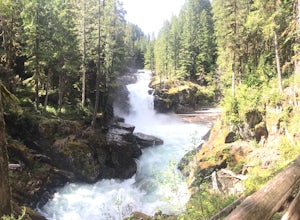
Canyoneering Olallie Creek, Mt. Rainier
2.5 mi / 700 ft gainDisclaimer: Canyoneering is a dangerous and technical activity. Don’t enter any canyon without the skills to match it, or the knowledge to navigate it. Be sure to check the flow of Olallie creek to ensure that it's safe. In an area where canyoneering isn’t hugely popular, here lies a canyon that ...Read more -
Ashford, Washington
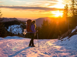
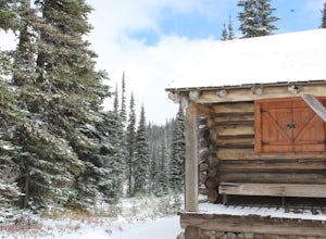
Snowshoe or Ski to Mt. Tahoma High Hut
5.04.5 mi / 2400 ft gainMake the 3.2 - 4.5 mile hike up groomed trails to the Mt Tahoma High Hut (4750 feet) for the perfect winter getaway. Spend the day outside sledding, skiing, snowshoeing and playing in the snow with a spectacular view of Mount Rainier, Mount Adams, and Mount St. Helens. Afterwards go inside and en...Read more -
Ashford, Washington
Hike Kautz Creek to Indian Henry's Hunting Ground
11 mi / 2520 ft gainNamed after the Native American who lived here prior to Mt. Rainier becoming a national park, So-To-Lick's was dubbed "Indian Henry" by the postman who unfortunately did not learn his name. When heading out on this hike, keep an eye on the weather in Mt. Rainier National Park. If hiking this trai...Read more -
Granite Falls, Washington
North Lake via Independence Lake
5.56 mi / 2431 ft gainNorth Lake is everything you could want in a subalpine lake: emerald green hues, cold, clear water, lots of brook trout and far from cell-phone reception. This backpack is perfect when the weather gets hot and sunny, though it does reside in what is known as “the wettest section of the Cascades,...Read more -
Darrington, Washington
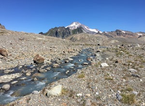
Backpack to Glacier Peak Meadows and White Chuck Glacier
34 mi / 9000 ft gainStarting at the North Fork Sauk Trailhead (NFD 49) off the Mountain Loop Highway, you will travel 5.3 miles and gain a leisurely 1,100 feet of elevation until you reach Mackinaw Shelter. This is where the real work begins. The trail gains a calf-burning 3,000 feet in the next 2.9 miles until you ...Read more -
Randle, Washington
Trail Run to Silver Falls
5.02.4 mi / 200 ft gainThis is a trail that could easily be done by your older family members but also could be a nice trail run or quick hike for you. The trail starts from Loop B in the Ohanapecosh Campground and after a quick section, you will be walking over the hot springs in the area. They ask that you stay off t...Read more -
Leavenworth, Washington
Winter Camping in Leavenworth
It's an easy day hike to the Ridge of only 2.5 miles. On the ridge you can relax and enjoy the view of the surrounding mountains and a view of Leavenworth. I went into the Rangers office to ask for a good spot to take night time photos and this is one of the areas they suggested. Make sure you ge...Read more -
Bremerton, Washington
Hike the Gold Creek Trail at Green Mountain
4.05 mi / 1000 ft gainThe Gold Creek Trail is one of several trails in the Green Mountain region. Although the trail is intertwined with others, it is almost impossible to start down the wrong path. The trail is well-marked and well-maintained, making this an excellent option for the family. The trail begins at the e...Read more -
Darrington, Washington
Climb Sloan Peak via the Corkscrew Route
5.014 mi / 6035 ft gainYou'll start the approach to this climb at the Sloan Peak trailhead at 1800ft elevation. Moving south along the trail, you'll begin with a traverse through some marshlands and several water crossings along the Sauk River and its tributaries for the first mile and before gaining any elevation. It ...Read more

