Randle, Washington
Top Spots in and near Randle
-
Ashford, Washington
Ski Tour the Muir Snow Field
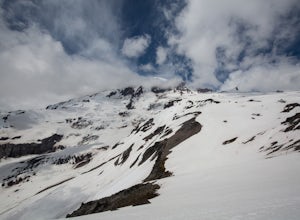
What's cooler than skiing down a volcano? Nothing. Nothing is cooler than skiing down a volcano.Even better, you can ski year-round at Mount Rainier! There are many areas on the mountain where this is possible, but none more easily accessed than the Muir Snowfield above Paradise.Depending on the ...Read more -
Ashford, Washington
Myrtle Falls Overlook
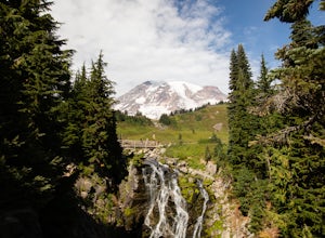
0.97 mi / 151 ft gainHead out to Myrtle Falls in the Paradise area of Mount Rainier National Park. This trail will take you to a beautiful 72-foot waterfall. This .97-mile hike leads to 72-foot Myrtle Falls with snowy Mt. Rainier in the background. Follow the Skyline or Golden Gate trail and then cross the footbridg...Read more -
Randle, Washington
Goat Lake-Jordan Basin Loop
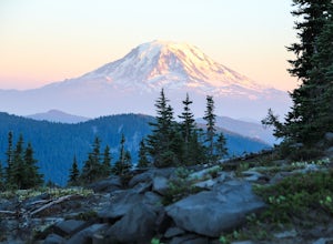
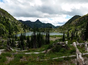
5.012.58 mi / 2703 ft gainThis is one of my favorite hikes for Washington State. Aside from the massive volcanoes hanging out down here, the southern region of the cascades is much more tame compared to areas further north. As I mentioned in my Old Snowy report, a jaw dropping side trip from the loop trail, the Goat Rocks...Read more -
Randle, Washington
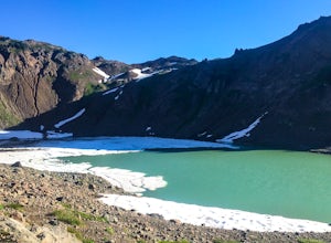
Summit Old Snowy Mountain
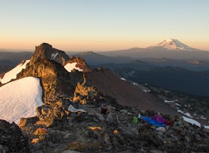
5.017 mi / 3800 ft gainThe hike begins just outside of Packwood, Wa at the Berry Patch Trailhead Trail #96, sitting pretty at about 4200ft. The Goat Lake/Jordan Basin loop trail starts here, leading to Old Snowy. The magical Goat Rocks Wilderness area is just southeast of Mt. Rainier. It also lies right in the crosshai...Read more -
Randle, Washington
Hike to Elk Pass via "the Knife"
18.2 mi / 4000 ft gainThis is a rather long out and back, however, it can also be done as a backpack, which would give you more time to explore the Goat Rocks Wilderness, which is highlighted in other Adventures. For your trip to Elk Pass, begin your trek in the Snowgrass Flats parking lot. A Northwest Forest Pass is ...Read more -
Toutle, Washington
Hike to the Summit of Coldwater Peak
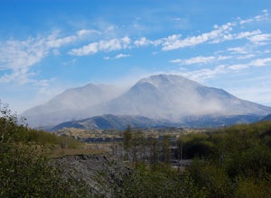
12.2 mi / 2000 ft gainWhile thousands of visitors come to witness the raw power and devastation left behind from Mount St Helens' famous 1980 eruption, few wander past the groomed paths surrounding the Johnston Ridge Observatory. It is beyond these paths where you come across the more commonly designed backcountry tra...Read more -
Toutle, Washington
Hike to Coldwater Peak via Boundary Trail
5.014.8 mi / 2700 ft gainThe Boundary trail is amazing. It's 54 miles long and runs for the most part along a ridge in Gifford Pinchot National Forest. You can climb various peaks and viewpoints right off the trail, but this trip report is for climbing Coldwater Peak and hiking up to Harry's Ridge Viewpoint on the way. H...Read more -
Lewis County, Washington
Hike Indian Bar - Cowlitz Divide via Box Canyon
14.64 mi / 4235 ft gainThere are multiple ways to access Indian Bar. This one starts at Box Canyon. From the parking area at Box Canyon walk across the road and follow the signs for Wonderland Trail. Head up the Wonderland trail through the trees to the split with the Cowlitz trail. Continue on the Wonderland Trail...Read more -
Toutle, Washington
Loowit Viewpoint
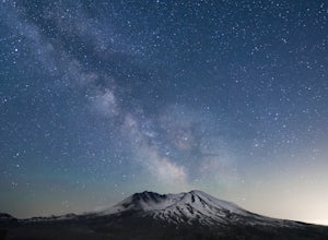
5.0From roughly May to September, both star gazers and photographers alike travel to the darkest locations in order to capture something truly magnificent- the galactic core of the milky way. The Loowit Viewpoint is unlike any around due to the perfect combination of it's remote location, higher ele...Read more -
Toutle, Washington
Mount Margaret's Ridge Camp via Coldwater Trailhead
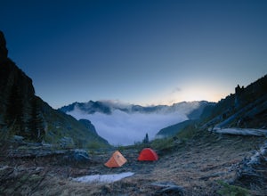
3.57.12 mi / 1634 ft gainThe hike is relatively easy. I'd say intermediate due to the incline at the beginning. Also intermediate due to it being an backpacking camp adventure. A friend of mine and I backpacked in to shoot the sunset and sunrise. We went a little early in the season so it was also to scout for future ad...Read more -
Toutle, Washington
Backpack to Snow Lake by Mt. Whittier
5.016 mi / 2700 ft gainThe Coldwater Lake Recreation Area has restrooms, telephones, and a picnic area. Make sure you have already acquired your permits for camping in the Mt. Margaret back country.Follow trail #211, which runs along the entire 4.5 mile length of Coldwater Lake. It is a beautiful and fairly flat hike w...Read more -
Toutle, Washington
Hike the Hummocks Trail
2.4 mi / 0 ft gainThe trail has a number of ups and downs as you pass the many ponds and ash/rock/mud hills (hummocks) on your way towards the North Fork Toutle River. There is abundant wildlife in the area including birds, beaver and elk.This is also a great place to park and extend your day of hiking on the Boun...Read more -
Randle, Washington
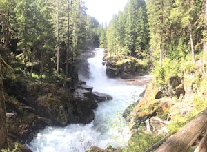
Trail Run to Silver Falls
5.02.4 mi / 200 ft gainThis is a trail that could easily be done by your older family members but also could be a nice trail run or quick hike for you. The trail starts from Loop B in the Ohanapecosh Campground and after a quick section, you will be walking over the hot springs in the area. They ask that you stay off t...Read more -
Randle, Washington
Backpack the Snowgrass Flats, Cispus Basin, Nannie Ridge Loop
4.819.6 mi / 3000 ft gainTake three or four nights and check out some of the most epic views in the Pacific Northwest. Though you can do a shorter or faster route, I highly recommend you consider the 19-mile loop from the Snowgrass trailhead through Cispus Basin and Cispus Pass (6400'), and then back down Nannie Ridge. D...Read more -
Packwood, Washington
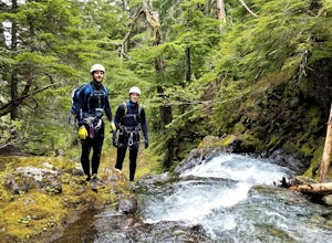
Canyoneering Olallie Creek, Mt. Rainier
2.5 mi / 700 ft gainDisclaimer: Canyoneering is a dangerous and technical activity. Don’t enter any canyon without the skills to match it, or the knowledge to navigate it. Be sure to check the flow of Olallie creek to ensure that it's safe. In an area where canyoneering isn’t hugely popular, here lies a canyon that ...Read more -
Randle, Washington
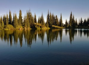
Hike to Goat Lake, Goat Rocks Wilderness
3.710.5 mi / 1400 ft gainThe trip to Goat Lake starts at the Walupt Lake campground parking lot. You will start on the Walupt Lake Trail (#101) and a short distance from the campground, take Trail #98 (Nannie Ridge) as it branches off and climbs steeply northeast onto an open, scenic ridge top.Continue on to Sheep Lake, ...Read more

