Quilcene, Washington
Top Spots in and near Quilcene
-
Port Angeles, Washington
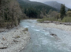
West Elwha River Trail
5.06.11 mi / 1198 ft gainWest Elwha River Trail is an out-and-back trail that takes you by a river located near Port Angeles, Washington.Read more -
Port Angeles, Washington
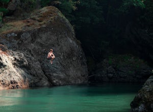
Swim in the Elwha River
Tucked away in the trees along Olympic Hot Springs Road, the Elwha River slows to a crawl and forms a perfect natural swimming hole. It is a great place to cool off, picnic, and enjoy the beautiful forest surrounding the Elwha River. The river's water is crystal clear and a vivid blue-green co...Read more -
Gig Harbor, Washington
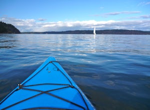
Kayak Gig Harbor
3.0Just over the Tacoma Narrows Bridge is a small, quiet, and tranquil town of Gig Harbor. The best way to experience the town is from the water.Tucked beneath Anthony's restaurant is Gig Harbor Rent-a-Boat, a small rental company that will outfit you for your afternoon on the water. Most days the ...Read more -
Port Angeles, Washington
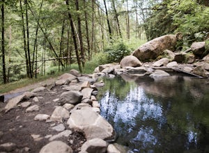
Olympic Hot Springs
3.721.52 mi / 3556 ft gainA local favorite, this moderate day hike winds its way uphill from the Appleton Pass trailhead through old growth stands of fir, hemlock and cedar for 2.2 miles to a cluster of hot springs interspersed among the trees. Note: This route is now closed due to a washed out road. The current route is ...Read more -
Port Angeles, Washington
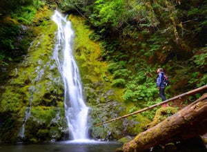
Madison Falls
4.00.16 mi / 98 ft gainMadison Falls is at the end of a 200 foot paved pathway. It is approximately 60 feet tall and lingers in the midst of incredible lush forest. Enjoy it from a viewing point of up close and personal where you can see the greenest of moss growing up along the rocks.Read more -
Mason County, Washington
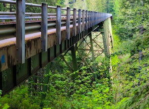
High Steel Bridge
4.5Located about 20 minutes outside of Shelton, Washington on US Forest Service Road NF-2340. To get there, head North on Highway 101 and exit onto W Skokomish Valley Rd. about 12 miles (or 20 minutes) after passing Shelton. W Skokomish Valley Road will take you through a beautiful area of farml...Read more -
Quinault, Washington
Backpack to Enchanted Valley Chateau
5.031.59 mi / 5052 ft gainThis backpacking trip can easily be done in 2 days, but some people prefer to stretch it out to 3. Luckily there are several different spots to stop and camp, so you can split up the distance however you are the most comfortable. The elevation over the course of the trail is minimal, which means ...Read more -
Woodinville, Washington
Woodland Plateau and Lloyd Trail Loop
5.02.63 mi / 276 ft gainWoodland Plateau and Lloyd Trail Loop is a loop trail where you may see local wildlife located near Woodinville, Washington.Read more -
Lake Stevens, Washington
Water and Snow Ski Stevens to Stevens
5.0Have you ever dreamed of snow skiing and water skiing in the same day? This March, plan your adventure of a lifetime to Stevens Pass and Lake Stevens, Washington. You will need a winter coat, a wet suit, and a heart made of love for the outdoors.Keep an eye on mountain and lake weather conditions...Read more -
Montesano, Washington
Hike to Wynoochee Falls
0.4 mi / 100 ft gainLocated along FR-2270 (Google Maps calls it FR-2312) in Olympic National Forest, the trailhead is marked by a pullout and a pair of signposts but no sign. This area was formerly the Wynoochee Falls Campground. The trailhead is at the North end of the parking lot. This easy hike involves navigatin...Read more -
Gig Harbor, Washington
Run through Point Defiance Park
5.04.3 miPoint Defiance Park is the largest urban park in Pierce County and it provides a variety of amenities. Located at the very northwest tip of Tacoma, the park provides residents with a much needed retreat from the bustle of everyday life. Point Defiance Park is the place to go if you need a quick d...Read more -
Bellevue, Washington
Coal Creek Trail
4.05.55 mi / 545 ft gainThis trail takes you through Coal Creek park and follows the creek along the trail with minimal elevation gain. This trail can also be accessed from the northern end of the park if that's a more convenient drive. For the lower parking lot, park at the Red Town lot (exit 13 off I-90) and cross the...Read more -
Bellevue, Washington
Coal Creek Falls via Red Town Trailhead
3.02.29 mi / 518 ft gainThe popular trailhead is located in the Cougar Mountain Regional Wildlife Park. There is a veritable maze of trails and trailheads here so it is helpful to bring along a map of the area. A trail map for Cougar Mountain can be found on kingcounty.gov. From the trailhead veer left following the Re...Read more -
Bellevue, Washington
Anti-Aircraft Peak Loop
4.53.53 mi / 436 ft gainHead up the road about .75 miles and take a left onto the Klondike Swamp Trail (well-singed). Stay on Klondike for a mile before taking a left onto Lost Beagle Trail. From here the trail climbs uphill and wraps around the edge of the park, offering views of the surrounding area. Hop on Shangri-La...Read more -
Oak Harbor, Washington
North Beach Trail
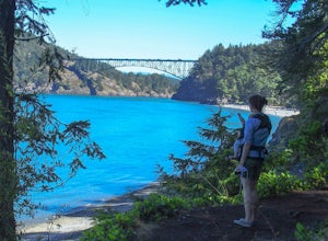
4.01.4 miA strait separating Whidbey Island from Fidalgo Island, Deception Pass and the bridges that span it are a fascinating day trip from Seattle. Located 82 miles from Seattle, a 90 minute drive will get you to the Deception Pass State Park. Once here, there are a myriad of activities to do - explore ...Read more -
Oak Harbor, Washington
Photograph the Deception Pass Bridge
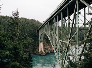
4.5Once you've parked your car, there is a $10 fee which can be paid at the station right next to the bridge unless you have a Discover Pass. From there, you can either go down the stairs to the beach or continue to walk across. Towards the middle, there are some stairs to get down and take some pho...Read more

