Pierce County, Washington
Looking for the best hiking in Pierce County? We've got you covered with the top trails, trips, hiking, backpacking, camping and more around Pierce County. The detailed guides, photos, and reviews are all submitted by the Outbound community.
Top Hiking Spots in and near Pierce County
-
North Bend, Washington
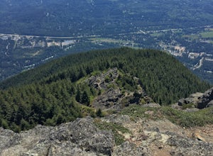
Mt. Si
4.67.91 mi / 3241 ft gainMount Si is probably one of the most well trekked hikes around the Seattle area, but one that any hiker-new to the game or an old pro-should experience as least once. I usually use it as a starter hike to kick start the season and highly recommend you get an early start on this one as the further...Read more -
Enumclaw, Washington
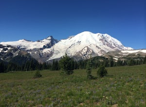
Hike Grand Park and Lake Eleanor
9 mi / 1100 ft gainPrepare in advance to hold your jaw from dropping. Stunning views of Mt. Rainier await visitors of Grand Park. A quick jaunt through the forest via the trailhead leads first to Lake Eleanor. Well groomed campsites are available for overnight stays.Head past Lake Eleanor and you're on the way to G...Read more -
27662-27664 Olympic Highway, Washington
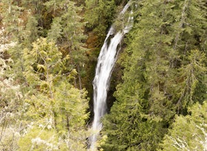
Hike Falls View Canyon
1.5 mi / 300 ft gainThis hike is located immediately off of Highway 101 in the Falls View Campground. If the campground is closed you can park right outside of the gate (but don't block it) and hike in. Inside the gate you will see 3 paths in front of you, take a left and after about a quarter mile you will reach th...Read more -
Ashford, Washington
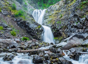
Hike to Comet Falls
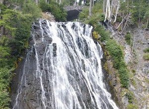
5.0Located on Paradise Road along the south side of Mount Rainier, the Comet Falls Trail follows Van Trump Creek up to the magnificent Comet Falls. The hike is 3.8 miles round trip with 1250' of elevation gain.The trail starts off at 3650' and soon crosses over a bridge above Christine Falls. It qui...Read more -
King County, Washington
Teneriffe Falls (Kamikaze Falls)
4.55.64 mi / 1732 ft gainThe lesser known Mt Si Rd trail starts off as a relatively flat road. This continues for two miles until you reach the Teneriffe Falls sign. Upon turning right at this junction, the terrain takes a shift and the incline steepens. This is where most of the elevation is gained. The rest of the way...Read more -
Ashford, Washington
Hike the Rampart Ridge Trail to Wonderland Trail Loop
6 mi / 1870 ft gainThis is a wonderful loop to do that avoids some of the crowds on the flatter trails and gives you an amazing view of the mountain. Park in the Longmire parking lot where the National Park Inn and Longmire Museum are. Walk across Paradise Rd E to join up with the Trail of the Shadows. Head north o...Read more -
Brinnon, Washington
Hike Lower Big Quilcene River
13 mi / 1800 ft gainWhile this hike does not provide any sort of fantastic views, its does provide an easy ~13 mile roundtrip hike from the trailhead to a parking lot for the Upper Big Quilcene Trail which leads to Marmot Pass. Along the way you will cross several bridges, some large and wide, other simple log bridg...Read more -
Ashford, Washington
Snowshoe to Longmire Lookout
4.1 mi / 800 ft gainStarting at the Longmire Trailhead, cross the road and begin snowshoeing counter-clockwise on the Trail of Shadows. This first 0.5 miles begins the hike as a nice warm up where you can make sure your snowshoes are adjusted properly and stop from time to time to learn some facts from the interpre...Read more -
Packwood, Washington
Carter & Narada Falls
3.05.81 mi / 1434 ft gainThis hike starts off with a bang! The first thing you do is walk out into a rocky riverbed and get an amazing view of Mt. Rainier. From there, you'll cross a long log bridge to get over the river and head into the woods. After 1.1 miles, you'll come across Carter Falls, and about 100 feet down t...Read more -
North Bend, Washington
Hike Mount Washington
4.32.89 mi / 3058 ft gainYou start out at an elevation of about 1200 feet and you gradually make your way up to the top at 4450 feet. You are hiking through forest land the whole time with peaks of a beautiful view to the north every so often. Along the way there are many rock walls which you can climb at, however on our...Read more -
Enumclaw, Washington
Catch the Sunset at Suntop Lookout
5.0Catching a beautiful sunset has never been so easy. This lookout tower is accessible by vehicle. The road is fairly smooth too. No car would have any trouble getting up to the top. The last gate before the lookout tower/peak is about a mile down. The gate does close at 8pm but is ran by voluntee...Read more -
North Bend, Washington
Mailbox Peak New Trail
4.210.53 mi / 4127 ft gain*Disclaimer this article is in regards to the newly built trail.* For the old trail, head to Hike Mailbox Peak. Just off of exit 34, Mailbox Peak offers a birds-eye view of the surrounding area. This hike begins at a mere 800 ft. above sea level and by the time you are done you are nearly touch...Read more -
North Bend, Washington
Mailbox Peak Old Trail
4.44.96 mi / 3898 ft gainNote this adventure covers the old route. For the updated route, check out Hike Mailbox Peak New Trail. Take exit 34 from I-90. Head north on 468th Ave SE until the intersection with the SE Middle Fork Road. Turn right onto the Middle Fork Road. Follow SE Middle Fork Road 2.2 miles to the stop ...Read more -
Enumclaw, Washington
Snowshoe to Sun Top Peak
12 mi / 2000 ft gainFrom Tacoma, Wa. take Hwy 167 to Hwy 410 and follow that until you get to the Chinook Pass Hwy. Then from there follow this road and take the second Service Road on the right and follow this road until it dead ends. The trail starts on NF-7315. You have to walk this road until you reach the first...Read more -
Ashford, Washington
See the Milky Way over Mt. Rainier
4.82.52 mi / 322 ft gainThe Milky Way and Mount Rainier is a beautiful combination. In order to get a photo of the Milky Way over Mount Rainier you need to be in the right spot at the right time of year. The spot seen in the photographs is a great spot in that it isn't too far of a hike and provides an unobstructed view...Read more -
Ashford, Washington
Mt. Fremont Fire Lookout Trail
4.65.78 mi / 787 ft gainEscape the crowds at Paradise and come enjoy the best views in the park! Start from the visitor's center parking lot and head up the Sourdough Ridge Trail and hike the 1.3 miles to Frozen Lake. Along the way (depending on the season) you'll hike up snow, through glorious fields of wild flowers, ...Read more

