Mount Saint Helens, Washington
Top Spots in and near Mount Saint Helens
-
Stevenson, Washington
4.0
3.86 mi
/ 1093 ft gain
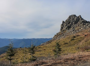
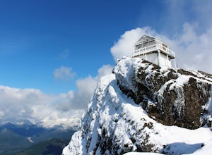
From the Rock Creek Pass Trailhead, begin the short hike to Three Corner Rock by heading south on the Pacific Crest Trail from its crossing of Road CG 2090. After a steady 1.5-mile climb of roughly 600 feet, look for a large fallen sign marking the junction to Three Corner Rock. Shortly after, an...
Read more
-
Skamania County, Washington
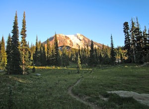
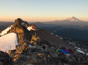
Mt Adams is the second tallest volcano in the Cascades and is one of the easiest to climb. There are two main nontechnical routes up Mt Adams, the well-known and crowded route on the south face, and the lesser traveled north cleaver route. The north cleaver offers solitude, views of Rainier, high...
Read more
-
Skamania County, Washington
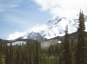
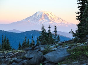
For the most of the hike, the mountain is hidden behind the firs that surround the hiker as they gain elevation. Because of the dense forest the trail is remains in for most of the hike, it is nicely shaded and pleasant to wander through. At about 2 miles in, the trail leads the hiker into variou...
Read more
-
Carson, Washington
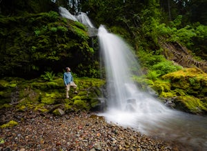
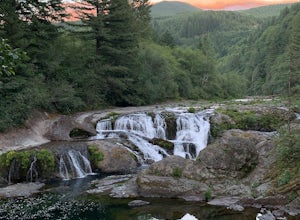
Steep Creek Falls is located about 5 miles from the small town of Stevenson. Take Highway 14 one mile west of Stevenson to Rock Creek Drive and turn north, passing the Skamania Lodge and Resort. Turn left onto Ryan Allen Road and follow it for about a mile, then turn left onto Red Bluff Road. Fo...
Read more
-
Yacolt, Washington
The Grouse Vista Trailhead is located through the town of Washougal off of highway 14 just past Camas. Once you leave the city, the road will turn to gravel and dirt though it is fairly well maintained until snow arrive and accessible by most cars so long as you're willing to get drive over loose...
Read more
-
Yakima County, Washington
***Before you go on this trek, give the Yakama Nation a call and talk to a Ranger to make sure the trail is open to backpackers or hikers.*** 1-509-865-5121 or 1-509-395-3402
There are a few places you can start this adventure, but starting from the South Climb Trail Head and Cold Spring Campgrou...
Read more
-
Washougal, Washington
The family friendly Naked Falls is just 20 minutes outside of Camas, Washington. It is a great introduction to kids of the great Pacific Northwest. It is also a great reminder for cliff jumpers that there are still great spots that aren’t too far from home. A $12 fee per car is required for parki...
Read more
-
Randle, Washington
4.8
19.6 mi
/ 3000 ft gain
Take three or four nights and check out some of the most epic views in the Pacific Northwest. Though you can do a shorter or faster route, I highly recommend you consider the 19-mile loop from the Snowgrass trailhead through Cispus Basin and Cispus Pass (6400'), and then back down Nannie Ridge. D...
Read more
-
Randle, Washington
5.0
3.2 mi
/ 1365 ft gain
High Rock Lookout is aptly named. Perched at 5,685' on a slab of rock, it has sweeping views of the valleys below, Cora Lake, and Mount Rainier. Although it is only a short 1.6 mile hike to the top, it is a steep one. You gain 1,365' to reach the lookout, but the reward is grand.The trail follows...
Read more
-
Washougal, Washington
Does camping right next to an epic swimming hole sound like a pretty good way to spend a hot summer weekend? If so, you need to add Dougan Creek Campground to your list of weekend getaways.
The Dougan Falls area of the Washougal River is packed with at least a dozen deep swimming holes, but the ...
Read more
-
Randle, Washington
5.0
12.58 mi
/ 2703 ft gain
This is one of my favorite hikes for Washington State. Aside from the massive volcanoes hanging out down here, the southern region of the cascades is much more tame compared to areas further north. As I mentioned in my Old Snowy report, a jaw dropping side trip from the loop trail, the Goat Rocks...
Read more
-
Randle, Washington
The hike begins just outside of Packwood, Wa at the Berry Patch Trailhead Trail #96, sitting pretty at about 4200ft. The Goat Lake/Jordan Basin loop trail starts here, leading to Old Snowy. The magical Goat Rocks Wilderness area is just southeast of Mt. Rainier. It also lies right in the crosshai...
Read more
-
Randle, Washington
This is a rather long out and back, however, it can also be done as a backpack, which would give you more time to explore the Goat Rocks Wilderness, which is highlighted in other Adventures. For your trip to Elk Pass, begin your trek in the Snowgrass Flats parking lot. A Northwest Forest Pass is ...
Read more
-
Packwood, Washington
Located just south of Mountain Rainier National Park, Tatoosh Lakes and Tatoosh Wilderness area are a great hiking destination to find scenic views, wildflowers, wildlife, and two beautiful alpine lakes.Tatoosh Trail #161 does not waste any time getting down to business as it ascends almost 3000 ...
Read more
-
Randle, Washington
3.7
10.5 mi
/ 1400 ft gain
The trip to Goat Lake starts at the Walupt Lake campground parking lot. You will start on the Walupt Lake Trail (#101) and a short distance from the campground, take Trail #98 (Nannie Ridge) as it branches off and climbs steeply northeast onto an open, scenic ridge top.Continue on to Sheep Lake, ...
Read more
-
Cascade Locks, Oregon
From downtown Portland follow I-84 East for about 50 miles until you reach mile marker 51. Get back on the highway but Westbound until you reach mile marker 47 pull off and take a right over the train tracks and you're there.Beautiful scenery all around and if you get there early enough, you can...
Read more

