Top Spots in and near Mount Rainier National Park
-
Ronald, Washington
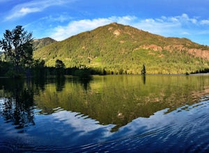
This area is a very secluded camp area, so unless it's a holiday weekend, be prepared to be alone :) It is a very quiet lake and along the roadside there are plenty of spots to hike, camp, and fish by the lake or the Cle Elum river.So bring your day hiking gear and pole as well and head out in th...
Read more
-
Snoqualmie Pass, Washington
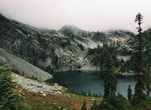
This is a S5 T4 scramble that involves some routefinding past the alpine lakes. We did this as a day trip and we were out and back in about 12 hours.
There are multiple routes to get to Chikamin, one from the PCT, which is 24 miles RT and the other is from the Mineral Creek Trailhead (47.4176, -...
Read more
-
Snoqualmie, Washington
4.0
10.54 mi
/ 2664 ft gain
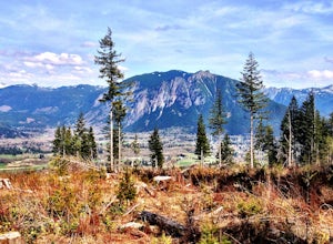
The Rattlesnake Mountain Trail is often associated with Rattlesnake Ledge, one of the busiest hiking destinations around. But most people don't know that you can continue on from Rattlesnake Ledge another 10 miles to Snoqualmie Point Park. Using the Snoqualmie Point Trailhead, this hike is a wo...
Read more
-
Snoqualmie, Washington
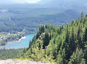
To Snoqualmie Point Park, from Seattle take I-90 east to Exit 27. At the end of the off-ramp, go right and follow the road to the end. Go through the gate on the right to enter the trail head To Rattlesnake Lake: From take I-90 to Exit 32. Go south on 436th Ave. SE, turning into Cedar Falls Rd...
Read more
-
North Bend, Washington
This one can be a bit tricky to find. The trailhead is unmarked and is a bit hidden around a curve of Middle Fork Road so it is easy to miss. At about 9.80 miles from the junction of 468th St. and Middle Fork Road, look for two signs on the right warning of upcoming gravel patches (probably will ...
Read more
-
North Bend, Washington
4.1
10.48 mi
/ 817 ft gain
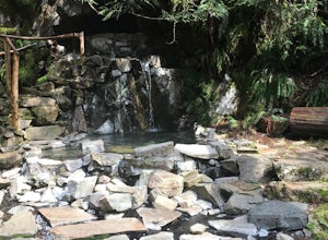
Goldmyer Hot Springs is a beautiful little gem nestled within the wilderness of the stunning Cascade Mountains. This hot springs complex is situated on the old remains of a mining town, and delivers steadily flowing water to a set of tiered pools along the mountainside. The “cave” pool at the top...
Read more
-
Snoqualmie Pass, Washington
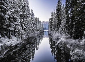
The Owhi Campground on Cooper Lake is tucked away in the Okanogan-Wenatchee National Forest near Salmon La Sac. It sits at 2,788 feet and has views of Chikamin Peak (6960') and Lemah Mountain (7480'). The lake is quiet, very photogenic, and easily accessible.
The campground is on the north si...
Read more
-
Snoqualmie Pass, Washington
5.0
18.91 mi
/ 3058 ft gain
Depending on when you arrive at the Pete Lake Trailhead, expect to be traveling with company as it is one of the more popular locations on the eastside of Snoqualmie Pass. At an elevation of 2600 feet, the beginning route is a moderate 400 feet of elevation gain.
Start on your way through the va...
Read more
-
Snoqualmie, Washington
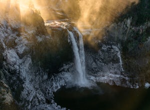
Snoqualmie Falls is one of the most popular waterfalls in Washington. The waterfall is almost 270 feet tall and ranges in width all the way up to 150 feet when the water is really running.
On sunny, warm days, it can be a little overrun with tourists. Figure out where you want to get your photo ...
Read more
-
Issaquah, Washington
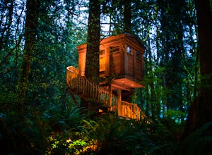
This is one of the most magical and romantic places on the planet to get a good night's rest. You'll find that words will escape you when it comes to describing how this place makes you feel. With the Raging River as a backdrop, the powerful white noise will put you into one of the deepest sleeps...
Read more
-
Issaquah, Washington
4.4
6.57 mi
/ 1880 ft gain
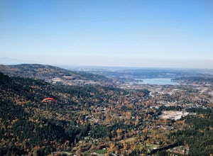
The Poo Poo Point trail is a great option for beautiful forest and great views only about 20 minutes outside of Seattle. The longer and less steep of the two routes to Poo Poo Point, this trail leaves from the Issaquah High School (the shorter and steeper Chirico Trail leaves from the paragliding...
Read more
-
Issaquah, Washington
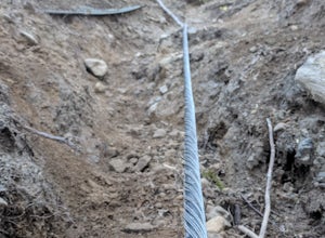
If you're looking for something with low-grade steepness, you're not going to find it here. Gaining over 2,000' in under 2 miles to the summit, this isn't for the faint of heart.
The trail exists because of a buried cable, which has since been exposed and which you can see near the top of the t...
Read more
-
Renton, Washington
4.2
4.25 mi
/ 801 ft gain
From Seattle, take the I-90 E to exit 15. Make a right on 17th Ave. This street will later become Renton/Issaquah Rd. Drive about four miles then turn right on to May Valley Rd. Make a sharp right onto SE 112th St. This street will soon turn into 169th Ave SE as it turns left. The trailhead is ri...
Read more
-
Ronald, Washington
5.0
26.47 mi
/ 2300 ft gain
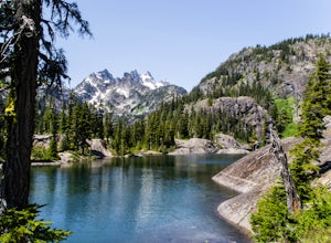
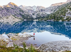
Nestled in a high rocky cirque near the upper reaches of Mt Daniel, Spade and Venus Lakes are two of the most remote lakes in the Alpine Lake Wilderness. But to experience this level of pure isolation, you'll need to earn it; the shortest hike in to the lakes is 14 miles, the majority of which i...
Read more
-
Fall City, Washington
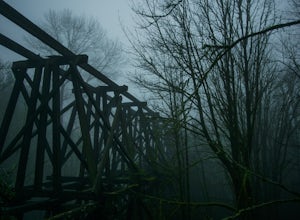
The best way to get the old railroad trestle is by using the Preston-Snoqualmie trail. There is a parking lot for the trail located just across from SE 56th Place, Fall City, Washington, 98024. After parking, hop on your bike and pedal east on the Preston-Snoqualmie trail for about 2 miles.The tr...
Read more
-
North Bend, Washington
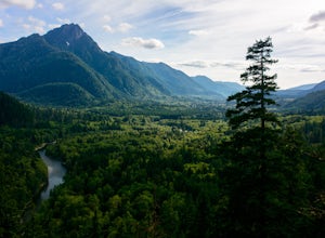
This beautiful tucked-away trail offers runners, hikers, and backpackers a new view of their favorite neighboring peaks - like Mailbox Peak and Mt. Si - from one of the most scenic river trails in the Seattle area.
Often overlooked in favor of more rigorous hikes, the Middle Fork is a gently gra...
Read more

