Mazama, Washington
Top Spots in and near Mazama
-
Rainy Pass, Washington
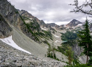
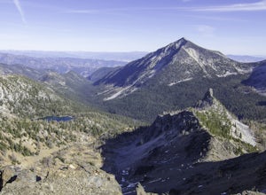
Black Peak's South Ridge
3.07 mi / 4700 ft gainStarting at Rainy Pass trailhead, you'll proceed to skirt high above Lake Ann on a marvelously maintained trail. Without realizing you're about to arrive at a pass, you'll come to Heather Pass, where you'll need to take a right. Continuing straight is also a popular hike, especially during peak l...Read more -
Chelan County, Washington
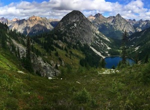
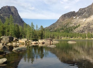
Backpack at Wing Lake (North Cascades)
5.012 mi / 2652 ft gainFrom Rainy Pass, take the trail to Ann Lake (pictured with island and wildflowers). About 1 mile into hike, you'll reach a fork. Take the right trail to Heather Pass. From Heather Pass, take boot trail through talus field to Lewis Lake (pictured with green water and drift wood in foreground). Onc...Read more -
Chelan County, Washington
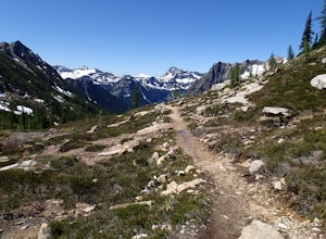
Camp at Snowy Lakes
22 mi / 3550 ft gainTake Hwy 20 to Rainy Pass, and park at the trailhead on the east side of the highway. Begin on the Pacific Crest Trail (PCT), heading towards Cutthroat Pass.The trail winds it's way towards the pass at a gentle grade over 5 miles. As the trail ascends, you'll leave the forest behind as you enter ...Read more -
Chelan County, Washington
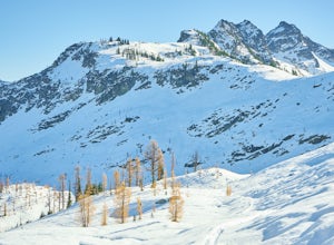
Backcountry Ski or Snowboard at Ann Lake
1.03 mi / 700 ft gain*Note: The mileage and elevation is only to the lake. It is not taking into account the ascent to reach the pass for runs. Maple Pass is about 1200' higher*Start off at the Rainy Pass Trailhead. Travel south towards Rainy Lake. After about 0.4 miles, you will come across a ravine that contains th...Read more -
Pacific Crest Trail, Washington
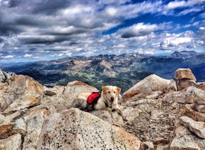
Summit Black Peak
5.010 mi / 4400 ft gainStarting at the Heather-Maple Pass Loop Trailhead, jump onto the trail that will take you counter-clockwise along the loop. After about 1.25 miles, you will come to a split in the trail, take the right path and continue for just under a mile until you reach Heather Pass. Off to the right there ar...Read more -
Winthrop, Washington
Hike Cutthroat Pass from Rainy Pass Trailhead
10 mi / 2000 ft gainThis hike begins at the parking area across from the Rainy Pass Trail Head. It is on the north side of Route 20. There is a larger parking area a little further down Route 20. The Pacific Crest Trail (PCT) is 2600 miles long and links the borders of Canada and Mexico as it travels through some of...Read more -
Winthrop, Washington
Snowshoe Heather Maple Loop Pass
7.2 mi / 2000 ft gainIf you have a whole day, then this trip is for you. Being three hours from Seattle has its perks. You get the views without the crowds. This hike is perfect for snowshoeing while the road remains open. Once closed it becomes extremely hard to get to, so make sure you get there while you can. Bein...Read more -
Winthrop, Washington
Heather-Maple Pass Loop
5.07.5 mi / 2185 ft gainNote to any hikers taking on this trail, this is a non-repeating trail meaning it goes in a big loop. The trailhead has 2 trail points of entrance. To the right (the pathway that is not paved) is the counter-clockwise route, a little less steep and more scenic at the start. To the left, the trail...Read more -
Twisp, Washington
Backpack to West Oval Lake
14 mi / 4100 ft gainThe trail to West Oval Lake begins at the Eagle Creek Trailhead, outside of Twisp, Washington. Follow the Eagle Creek trail for 1.9 miles until the trail splits. Take the left fork for Oval Creek and Oval Lakes. The trail continues winding through thick forest for approximately 4 more miles befor...Read more -
Winthrop, Washington
Hike to Easy Pass
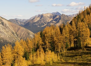
5.07.81 mi / 2844 ft gainIf you're looking for a beautiful fall hike with breathtaking views and acres of golden larches, this is it. This trail provides a good workout along with miles of photogenic scenery, including glacier views at the top, making the climb well worth the effort. Easy Pass is also (arguably) one of t...Read more -
Winthrop, Washington
Pipestone Canyon Rim Trail Loop
8.77 mi / 1437 ft gainThe Methow Valley in north-central Washington is magical for myriad reasons—the dry powder and bluebird days of winter, the hot high-desert days of summer, stunning views of the North Cascades Mountains to the west; the list goes on and on. Adding to its mystique is the little-known Pipestone Ca...Read more -
Stehekin, Washington
Hike to Agnes Gorge in Stehekin Valley
5 mi / 300 ft gainIf you find yourself in Washington State's remote Stehekin Valley, which is situated at the head of Lake Chelan in the heart of the North Cascades, and is accessible by ferry, float plane, or hiking trail, Agnes Gorge is a must-do day hike from the High Bridge area. By hiking or by Stekekin Valle...Read more -
Okanogan County, Washington
Backpack to Remmel Mtn. & Four Point Lake
5.0Remmel Mountain (8685 ft), the former site of a fire lookout, is a massive pile of granite and a wonderful destination for panoramic views of the rugged Pasayten Wilderness. The mountain itself can be accessed from several trailheads and although there are no short routes to the base of the moun...Read more -
Okanogan County, Washington
Cathedral Lakes and Amphitheater Mountain
5.037.4 mi / 6493 ft gainLocated in the Pasayten Wilderness and surrounded by Amphitheater Mountain and Cathedral Peak, Cathedral Lakes are a great destination for a multi-day backpacking trip. The shortest route to get Cathedral Lakes (not coming from Canada) is roughly 19 miles. This may be a bit of a "slog" but is def...Read more -
Rockport, Washington
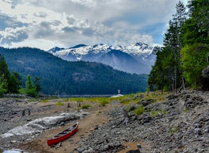
Kayak Ross Lake to Cougar Island and Rainbow Point
5.0Start from the Ross Lake Trailhead off Highway 20. Hike down with your vessel 1.5 miles to the hull road. From there you can launch your vessel. Ross Lake is very large with many destinations to paddle to. I went to Cougar Island and Rainbow Point then paddled up to multiple spectacular wate...Read more -
Rockport, Washington
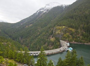
Hike to Ross Dam
5.02 miThis is a short hike at just under 2 miles round-trip, with little elevation change. The trail begins at a parking area, alongside Washington Route 20. The hike takes you through the forest to an overlook of both Ross Dam and Ross Lake, before making the final descent down to the dam. The trail i...Read more

