Mazama, Washington
Looking for the best photography in Mazama? We've got you covered with the top trails, trips, hiking, backpacking, camping and more around Mazama. The detailed guides, photos, and reviews are all submitted by the Outbound community.
Top Photography Spots in and near Mazama
-
Twisp, Washington
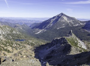
Backpack to West Oval Lake
14 mi / 4100 ft gainThe trail to West Oval Lake begins at the Eagle Creek Trailhead, outside of Twisp, Washington. Follow the Eagle Creek trail for 1.9 miles until the trail splits. Take the left fork for Oval Creek and Oval Lakes. The trail continues winding through thick forest for approximately 4 more miles befor...Read more -
Winthrop, Washington
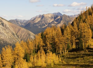
Hike to Easy Pass
5.07.81 mi / 2844 ft gainIf you're looking for a beautiful fall hike with breathtaking views and acres of golden larches, this is it. This trail provides a good workout along with miles of photogenic scenery, including glacier views at the top, making the climb well worth the effort. Easy Pass is also (arguably) one of t...Read more -
Winthrop, Washington
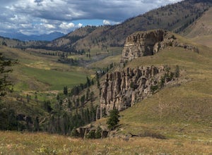
Pipestone Canyon Rim Trail Loop
8.77 mi / 1437 ft gainThe Methow Valley in north-central Washington is magical for myriad reasons—the dry powder and bluebird days of winter, the hot high-desert days of summer, stunning views of the North Cascades Mountains to the west; the list goes on and on. Adding to its mystique is the little-known Pipestone Ca...Read more -
Stehekin, Washington
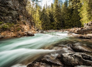
Hike to Agnes Gorge in Stehekin Valley
5 mi / 300 ft gainIf you find yourself in Washington State's remote Stehekin Valley, which is situated at the head of Lake Chelan in the heart of the North Cascades, and is accessible by ferry, float plane, or hiking trail, Agnes Gorge is a must-do day hike from the High Bridge area. By hiking or by Stekekin Valle...Read more -
Okanogan County, Washington
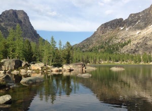
Cathedral Lakes and Amphitheater Mountain
5.037.4 mi / 6493 ft gainLocated in the Pasayten Wilderness and surrounded by Amphitheater Mountain and Cathedral Peak, Cathedral Lakes are a great destination for a multi-day backpacking trip. The shortest route to get Cathedral Lakes (not coming from Canada) is roughly 19 miles. This may be a bit of a "slog" but is def...Read more -
Rockport, Washington
Kayak Ross Lake to Cougar Island and Rainbow Point
5.0Start from the Ross Lake Trailhead off Highway 20. Hike down with your vessel 1.5 miles to the hull road. From there you can launch your vessel. Ross Lake is very large with many destinations to paddle to. I went to Cougar Island and Rainbow Point then paddled up to multiple spectacular wate...Read more -
Rockport, Washington
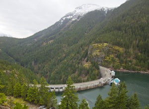
Hike to Ross Dam
5.02 miThis is a short hike at just under 2 miles round-trip, with little elevation change. The trail begins at a parking area, alongside Washington Route 20. The hike takes you through the forest to an overlook of both Ross Dam and Ross Lake, before making the final descent down to the dam. The trail i...Read more -
Loomis, Washington
Backpack the Pasayten Wilderness via Horseshoe Basin
5.020 mi / 3500 ft gainPlease consult with the Forest Service for current road and trail conditions, especially of your are planning a trip on the fringes of the season, i.e. early spring and late fall, as conditions may change without notice and this trail is a long ways from anywhere. When planning a trip to Horsesho...Read more -
Loomis, Washington
Backpack the Pasayten Wilderness via Iron Gate Trailhead
24 miWe started our adventure at the Iron Gate Trailhead. The trail to begin with was pretty flat for about a mile and then begins to ascend higher and higher making for a bit of a workout. You walk through forests with hints of aspen trees and wildflowers, after that it changes to walking through a v...Read more -
Skagit County, Washington
Sahale Arm via Cascade Pass
4.312.34 mi / 5230 ft gainTo get to this hike, go to Marblemount, WA. Then, drive ~23 miles east on Cascade River Road until the end, the Cascade Pass Trailhead. Even before you hit the trail, you'll get an amazing view of Johannesburg Mountain. Once you're ready to get going, the initial 3.7 miles of this hike to Cascad...Read more -
Skagit County, Washington
Pelton Basin Camp
8.82 mi / 2543 ft gainStarting at 3,640 feet elevation, the Cascade Pass Trailhead begins adjacent to the Johannesburg Camp and proceeds east along a relentless series of switchbacks. Though the trail is consumed by a thick Washington evergreen forest, the switchbacks frequently open to sweeping vistas of the far-reac...Read more -
Marblemount, Washington
Sahale Glacier Camp via Cascade Trailhead
5.011.09 mi / 4183 ft gainAs an initial note, to spend an overnight at Sahale Glacier Camp, you need to obtain a permit at the North Cascades Ranger Station in Marblemount, Washington. Permits are limited, so get there early or call in advance. To start, go to Marblemount, WA and then drive ~23 miles east on Cascade Rive...Read more -
Rockport, Washington
Backpack to High Camp on Ruby Mountain
17 mi / 6300 ft gainRuby Mountain is one of the North Cascades more prominent peaks, sitting high above Diablo and Ross Lakes. This trip is one for more experienced hikers with a very aggressive incline from start to finish. If that does not scare you then definitely add this amazing hike to your list. While it can ...Read more -
Rockport, Washington
Canoe Diablo Lake
Pack up your canoe with supplies for the day and launch from Colonial Creek Campground Area to begin your journey. As you approach the bridge to cross the lake, pull off to the parking area, there is signage for the boat launch area where you can easily carry your equipment down to the water's ed...Read more -
Rockport, Washington
Explore Diablo Lake
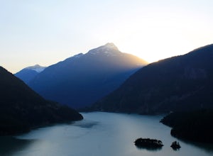
5.0Diablo Lake is a reservoir in the North Cascades created by Diablo Dam. The hue of the lake is created by ground up rocks from local glaciers, which end up drifting down streams into the lake.If you’ve decided to take in the viewpoints driving Hwy 20 through the park, be sure to check out Liberty...Read more -
Marblemount, Washington
Climb Eldorado Peak via the East Ridge
8 mi / 6800 ft gainStanding on the knife edge summit, the terrain around you plummets steeply into glacier-filled basins that trickle into turquoise alpine lakes. Serrated snowy peaks give way to forest covered valleys below that craft a rugged landscape. Eldorado Peak delivers you atop this wild and mountainous wo...Read more

