Maple Falls, Washington
Looking for the best chillin in Maple Falls? We've got you covered with the top trails, trips, hiking, backpacking, camping and more around Maple Falls. The detailed guides, photos, and reviews are all submitted by the Outbound community.
Top Chillin Spots in and near Maple Falls
-
Rockport, Washington
Backpack to High Camp on Ruby Mountain
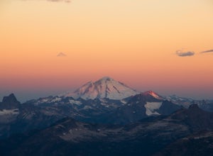
17 mi / 6300 ft gainRuby Mountain is one of the North Cascades more prominent peaks, sitting high above Diablo and Ross Lakes. This trip is one for more experienced hikers with a very aggressive incline from start to finish. If that does not scare you then definitely add this amazing hike to your list. While it can ...Read more -
Oak Harbor, Washington
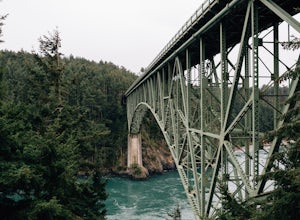
Photograph the Deception Pass Bridge
4.5Once you've parked your car, there is a $10 fee which can be paid at the station right next to the bridge unless you have a Discover Pass. From there, you can either go down the stairs to the beach or continue to walk across. Towards the middle, there are some stairs to get down and take some pho...Read more -
Lopez Island, Washington
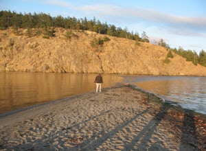
Hike to Spencer Spit
5.01.75 mi / 60 ft gainIt's just a short walk to the beach on this protruding point in Lopez Sound, and all downhill. Immediately upon leaving the trailhead, you come to a junction. Turn right and make a beeline straight for the picnic area at the base of the Spit.Time to explore the Spit. If the tide is high, stick to...Read more -
Rockport, Washington
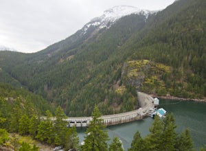
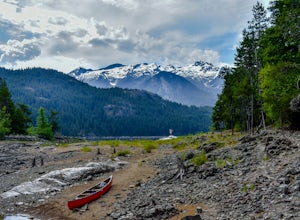
Hike to Ross Dam
5.02 miThis is a short hike at just under 2 miles round-trip, with little elevation change. The trail begins at a parking area, alongside Washington Route 20. The hike takes you through the forest to an overlook of both Ross Dam and Ross Lake, before making the final descent down to the dam. The trail i...Read more -
Rockport, Washington
Kayak Ross Lake to Cougar Island and Rainbow Point
5.0Start from the Ross Lake Trailhead off Highway 20. Hike down with your vessel 1.5 miles to the hull road. From there you can launch your vessel. Ross Lake is very large with many destinations to paddle to. I went to Cougar Island and Rainbow Point then paddled up to multiple spectacular wate...Read more -
North Vancouver, British Columbia
Snowshoe Dog Mountain
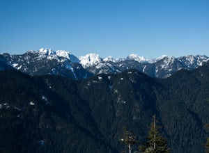
2.7 mi / 328.1 ft gainA perfect way to get outside before or after work. Dog mountain is an easily accessible snowshoe trail that takes you up to the short peak from the Mt. Seymour parking lot. This is a perfect spot for sunrise or sunset photography, and you can catch great 360 views from the top. Start at the BC Pa...Read more -
Delta, British Columbia
Take a Sunset Ride on the Tsawwassen-Swartz Bay Ferry
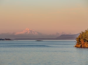
4.0You can walk on or take your car on the ferry. Either way gets you to the same views. Make sure you sit on the right side of the boat (and it sometimes turns around once leaving the dock). Set up on the upper deck, and prepare yourself for an unbelievable show. Make sure you check out the onboard...Read more -
North Vancouver, British Columbia
Hike to Mystery Lake
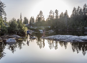
4.03.1 mi / 492.1 ft gainFrom the Mt. Seymour ski area parking lot, head towards the Mystery Peak Express. Once you have passed the base of the Mystery Peak Express, you will continue up the trail to your left (right goes to dog mountain, straight to the 3 peaks of Seymour). Follow the trail all the way up to the lake. T...Read more

