Lyle, Washington
Looking for the best backpacking in Lyle? We've got you covered with the top trails, trips, hiking, backpacking, camping and more around Lyle. The detailed guides, photos, and reviews are all submitted by the Outbound community.
Top Backpacking Spots in and near Lyle
-
Stevenson, Washington
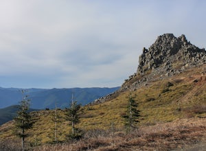
Three Corner Rock
4.03.86 mi / 1093 ft gainFrom the Rock Creek Pass Trailhead, begin the short hike to Three Corner Rock by heading south on the Pacific Crest Trail from its crossing of Road CG 2090. After a steady 1.5-mile climb of roughly 600 feet, look for a large fallen sign marking the junction to Three Corner Rock. Shortly after, an...Read more -
Government Camp, Oregon
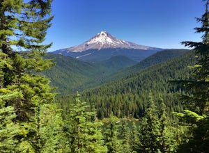
Veda Lake Trail
4.02.5 mi / 748 ft gainThis hike starts at the Fir Tree Trailhead and is an out and back 2.8 mile round trip. It's short, but there's 660 feet of elevation gain. To start, you climb steeply then it's an easy hike to a beautiful viewpoint overlooking the lake. The trail descends via switchbacks down to the lake for the ...Read more -
Skamania County, Washington
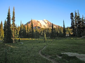
Climb Mount Adams North Cleaver Route
5.017 mi / 7800 ft gainMt Adams is the second tallest volcano in the Cascades and is one of the easiest to climb. There are two main nontechnical routes up Mt Adams, the well-known and crowded route on the south face, and the lesser traveled north cleaver route. The north cleaver offers solitude, views of Rainier, high...Read more -
Clackamas County, Oregon
Tumala (Squaw) Mountain
4.74.51 mi / 1099 ft gainOn a clear day, this short, secluded hike offers breath-taking views of Mt. St. Helens, Mt. Rainier, Mt. Adams, Mt. Hood, and Mt. Jefferson, as well as of downtown Portland, Coast Range, and the Roaring River Wilderness. Begin the hike from the Twin Springs Trailhead and immediately take your fi...Read more -
Yacolt, Washington
Hike Silver Star Mountain via Grouse Vista
4.56 mi / 2000 ft gainThe Grouse Vista Trailhead is located through the town of Washougal off of highway 14 just past Camas. Once you leave the city, the road will turn to gravel and dirt though it is fairly well maintained until snow arrive and accessible by most cars so long as you're willing to get drive over loose...Read more -
Amboy, Washington
Siouxon Trail to 14 Mile Falls
5.013.03 mi / 2310 ft gainWhen you park at the top of the trail, all you see is layers and layers of emerald trees and ground clear of any underbrush. Once on the trail, you start on a rapid decline that brings you to the first of the many streams along this hike. Cross the bridge made out of logs and head towards the ma...Read more -
Randle, Washington
Backpack the Snowgrass Flats, Cispus Basin, Nannie Ridge Loop
4.819.6 mi / 3000 ft gainTake three or four nights and check out some of the most epic views in the Pacific Northwest. Though you can do a shorter or faster route, I highly recommend you consider the 19-mile loop from the Snowgrass trailhead through Cispus Basin and Cispus Pass (6400'), and then back down Nannie Ridge. D...Read more

