Langley, Washington
Looking for the best photography in Langley? We've got you covered with the top trails, trips, hiking, backpacking, camping and more around Langley. The detailed guides, photos, and reviews are all submitted by the Outbound community.
Top Photography Spots in and near Langley
-
Moran State Park, Washington
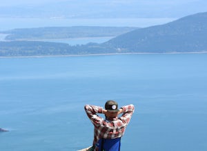
Camp at Moran State Park
Moran State Park is an true gem within the beautiful San Juan Islands. The park takes up a large portion of the East side of Orcas Island, the largest of all the San Juans. There are multiple campgrounds within the park along the shores of Cascade Lake and Mountain Lake. For the most relaxing exp...Read more -
Port Angeles, Washington
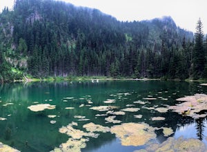
Hike to PJ Lake, Olympic National Park
1.63 mi / 692 ft gainA short and scenic trail of tranquility that leads to the secluded Lake PJ, hidden on Hurricane Ridge. Nothing but nature stirs here. The trail, while well-traveled, is far quieter than others in the surrounding area of Olympic. You might see one other hiker. It is lined with wildflowers and in t...Read more -
Olga, Washington
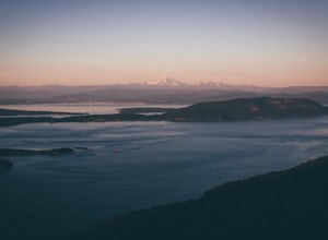
Hike to the Mount Constitution Summit
5.07 mi / 1500 ft gainThis 7 mile round-trip hike takes you to the mountain's summit. From here you'll be able to take in an amazing view. During the hike, you'll head around the left side of Mountain Lake, and then continue on to Twin Lakes, before starting your jaunt to the top of Mt. Constitution. The hike around ...Read more -
Friday Harbor, Washington
Hike Mount Grant on San Juan Island
2 mi / 500 ft gainMount Grant Preserve is still in the midst of becoming an official park, but is open to the public for hiking, so you will get to see this amazing spot before it's too crowded. With a trial system currently being made, most people hike up the established road, but there are well marked signs to h...Read more -
Bellingham, Washington
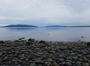
Explore Locust Beach (Bellingham, WA)
5.00.25 miThe trail to Locust Beach is very easy to find. Parking on Locust Avenue is available from dawn to dusk on the side of the road, and in a small gravel lot. Follow the road towards the water, and continue right on a small but well-marked trail down to the beach. Be careful - the stairs are kind of...Read more -
Port Angeles, Washington
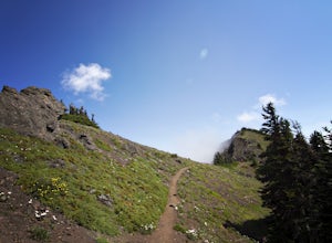
Klahhane Ridge (Switchback Route)
4.05 mi / 1700 ft gainHiking to Klahhane Ridge is a rewarding experience that provides you with sweeping views of the Olympic Mountains. Further access to overnight opportunities is possible if you venture beyond the summit trail. Here’s the scoop: Get an early start. There is a decent amount of parking available at ...Read more -
Port Angeles, Washington
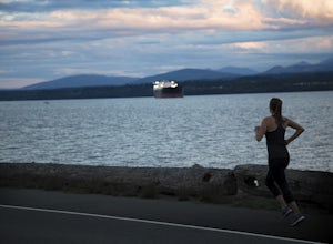
Run Ediz Hook "The Spit"
4.73 mi / 0 ft gainEdiz Hook or as locals call it, "the Spit" is a 3 mile long sand spit that extends out from Port Angeles along the Juan De Fuca. The views of the surrounding mountains and Vancouver Island, the marine life, beaches, and picnic areas make this a prime spot for a memorable run. We parked at the lo...Read more -
Bellingham, Washington
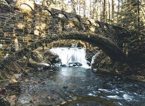
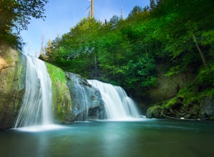
Whatcom Falls
0.13 mi / 20 ft gainWhatcom Falls is easily accessible within Whatcom Falls Park. It is less than a 2 minute walk from the parking lot to the bridge overlooking Whatcom Falls. This is a nice place to checkout with good company if you don't have a lot of time to enjoy the fresh air.Read more -
Bellingham, Washington
Pixie Falls
2.00.45 mi / 125 ft gainPixie Falls can be accessed during any season; however it’s most enjoyable during the spring and summer months. This waterfall and swimming hole combo is the perfect way to escape the heat and the crowds. On any given day, there will typically be less than 10 people who access the falls. Pixie is...Read more -
Skagit County, Washington
Sauk Mountain Summit 5,541'
4.34 mi / 1200 ft gainEven from the Trailhead, the views overlooking the Skagit River valley, all the way out toward Mount Vernon, are outstanding. The trail follows 20 tight switchbacks as it makes it's way 600 feet up to the southern crest of the summit ridge. This is a steep slope and it's possible to look straight...Read more -
Mason County, Washington
Hike to Lake of the Angels
5.06.75 mi / 3599 ft gainThe trail up to Lake of the Angels, known as the Putvin Trail, starts out pretty mellow with a gradual uphill climb. Your first marker will be an old roadbed at around 1.4 miles, but you'll need to cross two ravines before making it there. It's thick forest with gorgeous views in the clearings, s...Read more

