Lakewood, Washington
Top Spots in and near Lakewood
-
Randle, Washington
Hike to High Rock Lookout
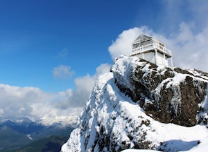
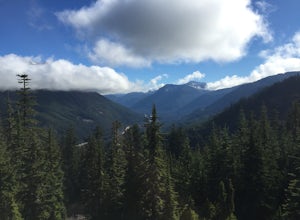
5.03.2 mi / 1365 ft gainHigh Rock Lookout is aptly named. Perched at 5,685' on a slab of rock, it has sweeping views of the valleys below, Cora Lake, and Mount Rainier. Although it is only a short 1.6 mile hike to the top, it is a steep one. You gain 1,365' to reach the lookout, but the reward is grand.The trail follows...Read more -
Packwood, Washington
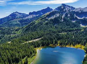
Lakes Trail Loop
5.34 mi / 1381 ft gainThe Lakes Trail Loop can be accessed two ways. You can either start in Paradise and find one of the multiple points along the Skyline Trail or you can begin at Reflection Lake. My recommendation for a nice day hike is to begin at Reflection Lake. If you arrive by 8am you should have an easy time...Read more -
Packwood, Washington
Explore Reflection Lakes
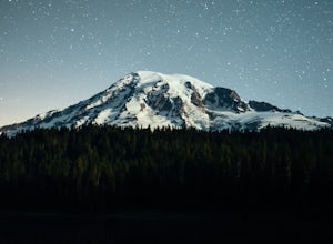
4.3Reflection Lakes is located approximately 1 mile east of Inspiration Point just off Steven Canyons Road in the Paradise section of Mount Rainier National Park. Simply park in one of the pullouts at the lakes and enjoy the scenery. Reflection Lakes can also be accessed via the Wonderland Trail.T...Read more -
Packwood, Washington
Hike Pinnacle Peak, Mt. Rainier NP
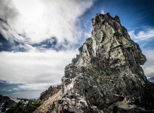
4.82.5 mi / 1050 ft gainThis trailhead is easily accessed at the parking lot at Reflection Lakes in Mount Rainier National Park. A short but sweet hike (1.3 miles one way) that leads to beautiful views of Rainier, Mount Adams, Mount St. Helens, and if clear enough, Mt. Hood (Oregon). Pinnacle itself can be climbed to su...Read more -
Brinnon, Washington
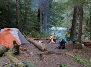
Camp at the Dose Forks
15 mi / 1200 ft gainThe Dose Forks Campground is an overlooked campsite deep within the Olympic National Park, making it a perfect weekend camping destination. A mild, 7.5 mile (one-way) trail delivers you to this enchanting area and is a must for those who love photographing forests. There are no reservation requir...Read more -
North Bend, Washington
McClellan Butte
5.010.61 mi / 3629 ft gainStarting at the McClellan's Butte Trailhead, right off of I-90 exit 47, head out on the main (only) trail at the trailhad. The first half mile of the trail is quite easy as it meanders through the forest, but don't be fooled or worried, it will get harder. This first half mile has a crossing of a...Read more -
27662-27664 Olympic Highway, Washington
Hike Falls View Canyon
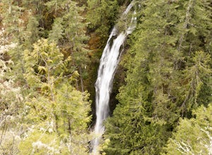
1.5 mi / 300 ft gainThis hike is located immediately off of Highway 101 in the Falls View Campground. If the campground is closed you can park right outside of the gate (but don't block it) and hike in. Inside the gate you will see 3 paths in front of you, take a left and after about a quarter mile you will reach th...Read more -
Ashford, Washington
Summerland Trail
5.08.62 mi / 2359 ft gainThe Summerland trail is by far the easiest trail that I ever experienced. The trail is well maintained and for the first 3 miles you are surrounded by trees and the sound of waterfalls and rivers, and it's green everywhere. The last 1.3 miles, you encounter switchbacks and you can get some view...Read more -
Ashford, Washington
Hike to Mount Rainier's Panhandle Gap
5.012 mi / 3000 ft gainThe trail is 12 mi round trip but don’t let the distance for an out and back turn you off - this hike is fantastic and even better with a beer at the top. The trail winds its way through an old growth forest and shortly joins the Wonderland Trail. After crossing a crick the trail steepens and beg...Read more -
Ashford, Washington
Climb Little Tahoma/East Shoulder
17 mi / 7450 ft gainStart from the Summer Land Trail Head at the Fryingpan Creek parking lot just West of the White River Ranger Station in Mount Rainier National Park. Beginning at an elevation of 3,800 feet, you'll head southeast along the Summer Land Trail for 4.5 miles, tracing the Fryingpan Creek. There are a f...Read more -
Brinnon, Washington
Hike Lower Big Quilcene River
13 mi / 1800 ft gainWhile this hike does not provide any sort of fantastic views, its does provide an easy ~13 mile roundtrip hike from the trailhead to a parking lot for the Upper Big Quilcene Trail which leads to Marmot Pass. Along the way you will cross several bridges, some large and wide, other simple log bridg...Read more -
North Bend, Washington
Summit Mt. Defiance
5.011 mi / 3300 ft gainThis hike offers some of the best views one can see in the area. On a clear day, you'll get amazing views of Mt. Rainier. The best part is that as you start heading uphill in the first half mile, you'll get great views of McClellan Butte. Once you reach the summit of Defiance at 5584 feet, you'll...Read more -
North Bend, Washington
Bandera Mountain
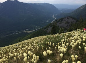
4.47.8 mi / 3176 ft gainThis hike has unreal views of Mount Rainier. On a great clear spring day, the mountain is out. It's right in your face. It's incredible. If you tackle this hike in the spring the bear grass and wildflowers are alive and blooming towards the top and it makes for some fantastic picture-taking. Once...Read more -
North Bend, Washington
Mason Lake via Ira Spring
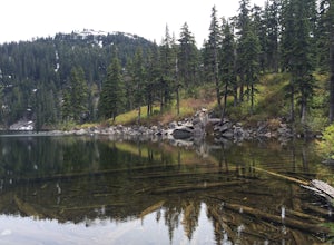
4.26.88 mi / 2316 ft gainIra Spring trail offers up great views prior to reaching the ridge that you go over to reach Mason Lake. The lake itself is an amazing sight—beautiful water with rocks and trees along the shores, making this 6.5-mile roundtrip hike well worth it. The trail to Mason Lake, the Ira Spring trail, pr...Read more -
North Bend, Washington
Camp and Trail Run from Rainbow Lake
I backpacked to and setup basecamp at Rainbow Lake and then I ran over to Island Lake. After enjoying the peace and quite I ran up to the top of Bandera Mountain and enjoyed the views. Then, I ran back to basecamp and spent the night. The following morning I ran up to the top of Mount Defiance a...Read more -
Ashford, Washington
Hike to Upper Palisades Lake
6.6 mi / 1200 ft gainPark at the Sunrise Point parking lot and find the Palisades Trail at the northeast corner of the parking lot. If you bring along a pair of binoculars, you can stop at the first overlook on the left and scan the adjacent mountain slopes for the white dots of mountain goats. Continue down the trai...Read more

