Lakewood, Washington
Top Spots in and near Lakewood
-
Mason County, Washington
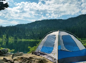
Upper Lena Lake
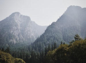
5.012.61 mi / 4239 ft gainThe hike to Upper Lena Lake is a beautiful one. It first takes you past Lena Lake, which is a very popular weekend destination for families. Luckily you're pushing on to Upper Lena Lake that sits in a peaceful alpine meadow with Mt. Lena and Mt. Bretherton towering above. The first part of the t...Read more -
National Forest Development Road 2530, Washington
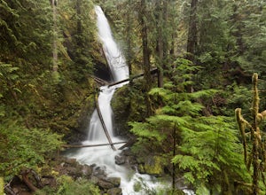
Hike to Murhut Falls
1.37 mi / 371 ft gainThe trailhead to Murhut Falls is located about 7.5 miles off US-101 S but the last couple of miles are on NF-2530 which can be potholed and rutted. I made it up the road in my 2WD sedan but it took quite some time to dodge all of the potholes. This hike is nice and quick! It starts with a small ...Read more -
Brinnon, Washington
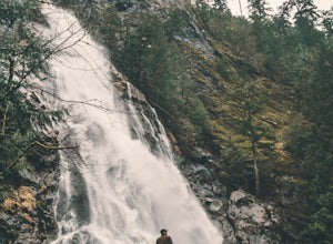
Rocky Brook Falls
4.80.25 mi / 141 ft gainTo find the falls, head north up Hwy. 101 past Brinnon, Washington and hang a left at Dosewallips Rd. Keep an eye on the mile markers. Right after mile three and crossing a small bridge, there's a parking area on the left side enough for about 6 cars. The hike to Rocky Brook Falls is a short on...Read more -
North Bend, Washington
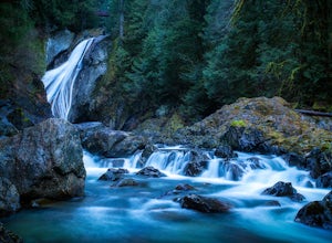
Twin Falls
3.32.51 mi / 778 ft gainFor a portion of this 3-mile hike, you'll trek next to the South Fork Snoqualmie River, so take in the peaceful sound of the river running. Along the trail runs a river, where massive boulders create wading pools of icy water for warm summer days. At 1.5 miles, you'll reach a viewpoint bridge, wh...Read more -
North Bend, Washington
Drive Along the Middle Fork Snoqualmie River
5.0Some days you don't need to tackle a grueling summit or long mileage loop, just getting outside the city is enough. Driving forest roads is always an adventure and pays its dividend in seclusion, viewpoints, and peacefulness. The Middle Fork Snoqualmie (FR56) offers a photo enthusiast numerous pi...Read more -
Enumclaw, Washington
Hike Grand Park and Lake Eleanor
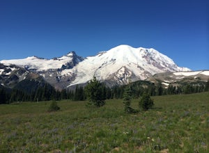
9 mi / 1100 ft gainPrepare in advance to hold your jaw from dropping. Stunning views of Mt. Rainier await visitors of Grand Park. A quick jaunt through the forest via the trailhead leads first to Lake Eleanor. Well groomed campsites are available for overnight stays.Head past Lake Eleanor and you're on the way to G...Read more -
North Bend, Washington
Mt. Si
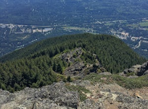
4.67.91 mi / 3241 ft gainMount Si is probably one of the most well trekked hikes around the Seattle area, but one that any hiker-new to the game or an old pro-should experience as least once. I usually use it as a starter hike to kick start the season and highly recommend you get an early start on this one as the further...Read more -
Mountlake Terrace, Washington
Kayak Lake Ballinger
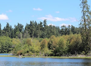
4.0Getting Here: Heading North on I5 from Seattle Center, take exit 178 for 236th Street SW and Lakeveiw Dr. Take a left on Lakeview Dr. and follow along for a half a mile before you see the Lake Ballinger Boat Ramp parking area on the left. There is a community park and rental facility on the noir ...Read more -
Ashford, Washington
Hike Kautz Creek to Indian Henry's Hunting Ground
11 mi / 2520 ft gainNamed after the Native American who lived here prior to Mt. Rainier becoming a national park, So-To-Lick's was dubbed "Indian Henry" by the postman who unfortunately did not learn his name. When heading out on this hike, keep an eye on the weather in Mt. Rainier National Park. If hiking this trai...Read more -
King County, Washington
Teneriffe Falls (Kamikaze Falls)
4.55.64 mi / 1732 ft gainThe lesser known Mt Si Rd trail starts off as a relatively flat road. This continues for two miles until you reach the Teneriffe Falls sign. Upon turning right at this junction, the terrain takes a shift and the incline steepens. This is where most of the elevation is gained. The rest of the way...Read more -
North Bend, Washington
Hike Mount Washington
4.32.89 mi / 3058 ft gainYou start out at an elevation of about 1200 feet and you gradually make your way up to the top at 4450 feet. You are hiking through forest land the whole time with peaks of a beautiful view to the north every so often. Along the way there are many rock walls which you can climb at, however on our...Read more -
Mason County, Washington
Hike to Lake of the Angels
5.06.75 mi / 3599 ft gainThe trail up to Lake of the Angels, known as the Putvin Trail, starts out pretty mellow with a gradual uphill climb. Your first marker will be an old roadbed at around 1.4 miles, but you'll need to cross two ravines before making it there. It's thick forest with gorgeous views in the clearings, s...Read more -
Ashford, Washington
Hike to Comet Falls
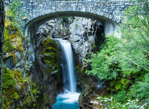
5.0Located on Paradise Road along the south side of Mount Rainier, the Comet Falls Trail follows Van Trump Creek up to the magnificent Comet Falls. The hike is 3.8 miles round trip with 1250' of elevation gain.The trail starts off at 3650' and soon crosses over a bridge above Christine Falls. It qui...Read more -
Ashford, Washington
Explore Rainier's Christine and Narada Falls
3.7Driving along Paradise Road on the south side of Mount Rainier, provides a couple of opportunities to view gorgeous waterfalls with a short hike. From the West, the first stop is Christine Falls. There is parking on either side side of the bridge, but the east side is closest to the trail. Desce...Read more -
North Bend, Washington
Sport Climbing at Exit 38, Deception Crags Area
4.0Sport Climbing at Exit 38, the Deception Crags Area, is an amazing area to climb within 1/2 hour drive of downtown Seattle. It is an amazing resource for climbers living in Seattle, as during the spring, summer, and fall, it can be reached quickly afterwork, with minimal traffic.There are 5 disti...Read more -
Ashford, Washington
Hike the Rampart Ridge Trail to Wonderland Trail Loop
6 mi / 1870 ft gainThis is a wonderful loop to do that avoids some of the crowds on the flatter trails and gives you an amazing view of the mountain. Park in the Longmire parking lot where the National Park Inn and Longmire Museum are. Walk across Paradise Rd E to join up with the Trail of the Shadows. Head north o...Read more

