Kent, Washington
Looking for the best hiking in Kent? We've got you covered with the top trails, trips, hiking, backpacking, camping and more around Kent. The detailed guides, photos, and reviews are all submitted by the Outbound community.
Top Hiking Spots in and near Kent
-
Brinnon, Washington
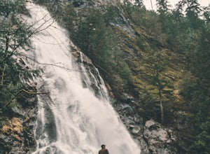
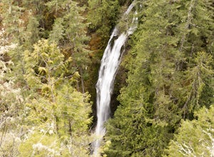
Rocky Brook Falls
4.80.25 mi / 141 ft gainTo find the falls, head north up Hwy. 101 past Brinnon, Washington and hang a left at Dosewallips Rd. Keep an eye on the mile markers. Right after mile three and crossing a small bridge, there's a parking area on the left side enough for about 6 cars. The hike to Rocky Brook Falls is a short on...Read more -
Snoqualmie Pass, Washington
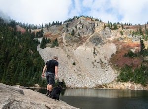
Hike to Margaret Lake
6 mi / 1800 ft gainStarting at an elevation of 3,300 feet, begin the hike on a steep gravel road for 1/4 of a mile. Take a left onto a dirt road that will lead to an area of clear cuts and windy switchbacks.As daunting as this may seem, don't be discouraged. On a clear day, the surrounding peaks of Snoqualmie Pass ...Read more -
Brinnon, Washington
Hike to Mt. Walker North & South Viewpoints
3.04 mi / 2000 ft gainDirections: From the Quilcene Ranger Station drive 4.6 miles south on US 101. Watch for the signs for Mount Walker View Point. Turn left onto Mount Walker Road. The trail head is about a quarter mile up the road with pull over parking on the left side of the road. In the winter and early spring, ...Read more -
Gold Bar, Washington
Wallace Falls
4.65.01 mi / 1404 ft gainThe trailhead is located at the far end of the parking lot, next to the info kiosk and bathrooms. It starts out in a wide-open area that shortly leads to stunning views of Mt. Index and Baring Mountain. The trail turns to the left and you're greeted by a beautiful Wordsworth quote carved into a t...Read more -
Gold Bar, Washington
Hike to Wallace Lake via Greg Ball Trail
4.58.2 mi / 1500 ft gainAn alluring State Park for its massive waterfall display, Wallace Falls is a high traffic destination along Highway 2, but don't overlook Wallace Lake as the falls steal the limelight. Head East on Highway 2, once you enter the town of Gold Bar keep on the lookout for the State Park signs and tu...Read more -
Ashford, Washington
See the Milky Way over Mt. Rainier
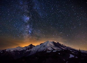
4.82.52 mi / 322 ft gainThe Milky Way and Mount Rainier is a beautiful combination. In order to get a photo of the Milky Way over Mount Rainier you need to be in the right spot at the right time of year. The spot seen in the photographs is a great spot in that it isn't too far of a hike and provides an unobstructed view...Read more -
Ashford, Washington
Mt. Fremont Fire Lookout Trail
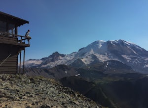
4.65.78 mi / 787 ft gainEscape the crowds at Paradise and come enjoy the best views in the park! Start from the visitor's center parking lot and head up the Sourdough Ridge Trail and hike the 1.3 miles to Frozen Lake. Along the way (depending on the season) you'll hike up snow, through glorious fields of wild flowers, ...Read more -
Ashford, Washington
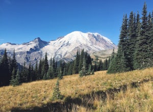
Hike Sunrise Trails at Mount Rainier
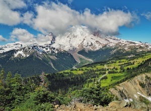
5.06 mi / 1200 ft gainI grew up in Washington, but didn't get out to Mount Rainier until I came home for a visit years later. We took advantage of the nonexistent snowpack and headed up in mid-June, which is normally a terrible time to visit (think late summer). There are two main areas in the park, Sunrise and Paradi...Read more -
Ashford, Washington
Hike Dege Peak in Mount Rainier National Park
5.03.5 mi / 600 ft gainWhile most hikers who park at the Sunrise Visitor Center head west to get closer to the peak of Mount Rainier, heading east will take you away from the crowds while still providing incredible views. Starting from the parking lot, head north up a set of stairs. When you reach the split in the tra...Read more -
Ashford, Washington
Burroughs Mountain Trail
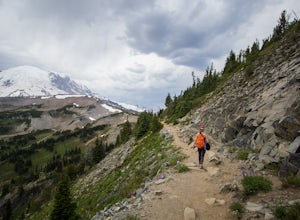
4.69.32 mi / 2270 ft gainThe Burroughs Mountain Trail comes from a series of trails out of the Sunrise Area. First piece of advice is to set your alarm clocks! The parking lot and trails get busy quite quickly, especially in the summer. From the parking lot you will start by taking the Sourdough Ridge Trail up to Frozen...Read more -
Skykomish, Washington
Backpack from Dorothy Lake Trailhead to Snoqualmie Lake
18 mi / 1900 ft gainThe trail was not crowded although when we got to Snoqualmie Lake there were only a couple camping spots left. The trail up from Dorothy is not too hard at all. The weather was perfect. After passing Dorothy you have to ford a creek where the bridge has been washed out. We went through it on foot...Read more -
Skykomish, Washington
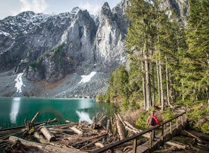
Hike to Lake Deer via Lake Dorothy Trailhead
12.6 mi / 1600 ft gainStart off by traveling along Highway 2 and turning towards the Money Creek Campground. Turn off onto Forest Road 6410 and follow that to the Lake Dorothy Trailhead (about 9 miles).This first section of the hike can be pretty crowded on a nice summer day as the trail is very family friendly and it...Read more -
Gold Bar, Washington
Lake Serene and Bridal Veil Falls
4.87.74 mi / 2569 ft gainConsider this a must-do if you are in Seattle and feel like knocking out two amazing hikes AND getting to see a hidden lake all along US 2. The trail starts out on an old road with the typical amazing forest surrounding you. After roughly 2 miles the road will end and you can go right (signage i...Read more -
National Forest Development Road 2530, Washington
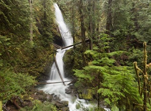
Hike to Murhut Falls
1.37 mi / 371 ft gainThe trailhead to Murhut Falls is located about 7.5 miles off US-101 S but the last couple of miles are on NF-2530 which can be potholed and rutted. I made it up the road in my 2WD sedan but it took quite some time to dodge all of the potholes. This hike is nice and quick! It starts with a small ...Read more -
27662-27664 Olympic Highway, Washington
Hike Falls View Canyon
1.5 mi / 300 ft gainThis hike is located immediately off of Highway 101 in the Falls View Campground. If the campground is closed you can park right outside of the gate (but don't block it) and hike in. Inside the gate you will see 3 paths in front of you, take a left and after about a quarter mile you will reach th...Read more -
Ashford, Washington
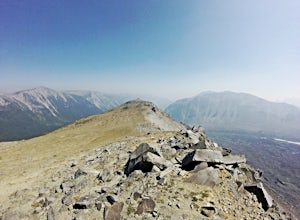
Summit Mount Ruth, Mt. Rainier NP
10.8 mi / 5090 ft gainMount Ruth presented a challenge as it was a very hot day to be exposed on a ridge for the entire day. The trek begins in White River Campground parking lot and travels along the White River until you exit at Glacier Basin. Crossing the creek you ascend up to the ridge that leads up and up and up...Read more

