Kenmore, Washington
Top Spots in and near Kenmore
-
North Bend, Washington
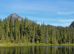
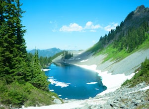
Lodge Lake via PCT
3.53.79 mi / 932 ft gainAs you begin your hike up to Lodge Lake you will pass through a small forest. After about .5 miles you will come out into the open. Simply follow the path under the chairlifts as you cut across the mountain. In the summer when there is no snow on the ground you can see lots of wildflowers. If you...Read more -
Gold Bar, Washington
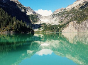
Blanca Lake
5.07.42 mi / 3540 ft gainAlthough the drive to the trailhead is mostly over gravel roads, Blanca Lake is a very popular hike. The drive is better for cars with clearance and AWD capabilities. The trail gets right down to it gaining almost 3,000 feet in the first 3 miles. But don't worry, the hard work is well worth the...Read more -
Gold Bar, Washington
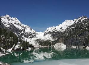
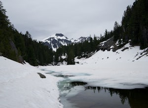
Winter Backpack to Blanca Lake
7.5 mi / 3300 ft gainSince Blanca Lake is a very popular place for folks to explore and with the nice and sunny weekend. I drove out Friday night and slept in my Jeep. Got up at 7:30am when folks first started arriving to the trail head.A couple of things to keep in mind before you start this hike. The 7.5 miles ro...Read more -
North Bend, Washington
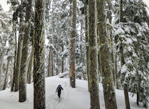
Ski Tour or Snowshoe Kendall Knob
3 mi / 2000 ft gainThe area around Kendall Knob is great for snowshoeing or ski touring. It is particularly nice for ski touring because there are a variety of short tours at varying difficulty and on varying aspects. Skiers or those on snowshoe can begin their trip at the PCT trailhead near the Commonwealth Campgr...Read more -
North Bend, Washington
Hike to Gravel Lake
13.6 mi / 2759 ft gainStarting at the Snoqualmie Pass PCT trailhead, you start hiking through an old growth forest. This hike has a nice gradual incline with views starting near a talus field. Late June, early July wildflowers are growing like crazy along the trail. This field offers a up close view of Mt. Rainier alo...Read more -
Skykomish, Washington
Jade Lake via the Necklace Valley Trail
15.26 mi / 3323 ft gainThis hike is definitely one of our all-time favorites. The first time we did it was in August 2015 and due to the exceptionally mild winter that year, fall was already beginning to show its colors. We wanted to see it again in the springtime when everything was in bloom, so we decided to go again...Read more -
North Bend, Washington
Hike Kendall Peak
5.09.2 mi / 2800 ft gainKendall Peak is an easily accessible summit hike just off of Exit 52 of I-90 that offers spectacular 360-degree views of the entire Snoqualmie range. You’ll start out in the PCT parking lot where you’ll need a NW Forest Pass to park, or pay the daily fee. A permanent bathroom and backcountry acce...Read more -
North Bend, Washington
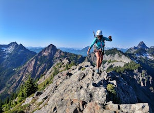
Scramble Guye Peak
4.5 mi / 2200 ft gainThere are quite a few ways up Guye Peak ranging from a simple walk up to multiple pitches of technical rock climbing. Both of the routes described here start from the PCT parking lot north of exit 52 of I-90 at Snoqualmie Pass. Some of the scrambling described would be treacherous in wet or sno...Read more -
North Bend, Washington
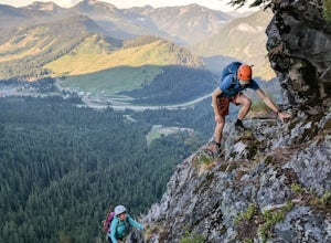
Climb Mount Thomson
16 mi / 4500 ft gainThe West Ridge of Thomson is rated 5.6 and is 4-5 pitches depending on how you break it up. The East Ridge is some spicy 4th class and although people do scramble it, it is recommend to use a rope on the descent. The Approach Starting at the PCT trail-head you have two options. You can take the ...Read more -
Skykomish, Washington
Tank Lakes via Necklace Valley
18.94 mi / 4721 ft gainTucked high in the heart of the Alpine Lakes Wilderness, Tank Lakes has everything you could ask for out of a Washington hike. You start low at the Necklace Valley trailhead just south of Skykomish along Highway 2 and meander five miles to a giant log crossing of the East Fork Foss River. From h...Read more -
Leavenworth, Washington
Evergreen Mountain Lookout
4.52.88 mi / 1522 ft gainThis is a relatively short hike, at only 2.6 miles round trip, that takes you up to the nearly 5600 foot summit. The hike may be short but it is extremely steep, gaining 1300ft in the 1.3 miles to the summit, so be prepared for a good leg workout. On the way to the top you will walk through field...Read more -
Skykomish, Washington
Beckler Peak
7.55 mi / 2139 ft gainLooking for a gradual forest hike up to a peak with 360° views of the Cascades? Beckler Peak trail winds through old growth, past rushing waterfalls, and up to a granite summit. From the top, you can see mountains in the Cascades such as Glacier Peak, Mount Baring, Mount Index, Evergreen Mounta...Read more -
Snoqualmie Pass, Washington
Hike Mount Catherine
5.03 mi / 1300 ft gainStart off on the extremely rough Forest Service 9070 road. Follow this for just over 4 miles until you see a sign for trail #1348 on the right. There is only enough room for a couple cars at the trailhead.You start off climbing right away, covering 800 feet of elevation in the first 0.80 miles of...Read more -
North Bend, Washington
Snowshoe Kendall Peak Lakes
9 mi / 2000 ft gainThis hike starts at the Gold Creek sno-park. You need the sno-park and discover pass for this. Park on the side of the road and start hiking up from there. Hike road up and up and up! It's very compact snow (at the moment, that will change fast with new snow coming in). We ended up leaving our sn...Read more -
Darrington, Washington
Scramble Mount Pugh
5.011 mi / 5300 ft gainNot for the faint of heart - or those with a fear of heights - Mount Pugh offers some of the most rewarding summit views in the Cascades.Located off the northern end of the Mountain Loop Highway, this is an easy day trip from anywhere in the Puget Sound area. Though finding the trailhead can be t...Read more -
Snohomish County, Washington
Hike Johnson Ridge to Scorpion Mountain
9 mi / 2650 ft gainFrom Skykomish, WA drive east on SR 2 roughly 1 mile and turn left on the Beckler River Road, FS RD 65. Drive north on this road approximately 7 miles taking a sharp right at the pavement's end just before crossing the Rapid River. You are now on FS RD 6520. Continue on this road bearing left a...Read more

