Kenmore, Washington
Looking for the best hiking in Kenmore? We've got you covered with the top trails, trips, hiking, backpacking, camping and more around Kenmore. The detailed guides, photos, and reviews are all submitted by the Outbound community.
Top Hiking Spots in and near Kenmore
-
Darrington, Washington
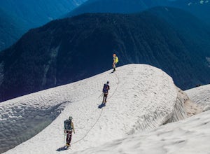
Climb Sloan Peak via the Corkscrew Route
5.014 mi / 6035 ft gainYou'll start the approach to this climb at the Sloan Peak trailhead at 1800ft elevation. Moving south along the trail, you'll begin with a traverse through some marshlands and several water crossings along the Sauk River and its tributaries for the first mile and before gaining any elevation. It ...Read more -
Darrington, Washington
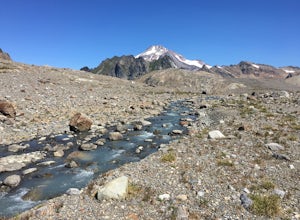
Backpack to Glacier Peak Meadows and White Chuck Glacier
34 mi / 9000 ft gainStarting at the North Fork Sauk Trailhead (NFD 49) off the Mountain Loop Highway, you will travel 5.3 miles and gain a leisurely 1,100 feet of elevation until you reach Mackinaw Shelter. This is where the real work begins. The trail gains a calf-burning 3,000 feet in the next 2.9 miles until you ...Read more -
Hoodsport, Washington
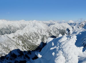
Snowshoe Mt. Ellinor's Winter Route
5 mi / 4500 ft gainYou can stat this adventure at one of two trailheads. I suggest using the lower of the two. The start of the trail ascends through a forest of old growth pines with periodic views of Mt Washington. Eventually, at a fork in the trail, you will see a sign marking the start of the winter route. You ...Read more -
Port Angeles, Washington
Backpack 1000 Acre Meadows
45.1 mi / 10750 ft gainThere are many different ways to reach 1000 Acre Meadows, but this guide will get you there starting at the Deer Park trailhead (5,400').Day 1: 14 miles You will start out by descending 2,400' and 4.3 miles to reach the Graywolf Camp. This is where the loop meets up with itself later on. Our goal...Read more -
4399 Bowman Bay Road, Washington
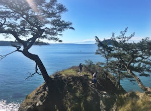
Hike or Run the Lighthouse Point Trail
5.01.9 mi / 285 ft gainThe Lighthouse Point Trail is yet another offshoot of Deception Pass Park’s wonderful trail system, which weaves itself through the northern corners to the southern ends of the park’s expansive walking paths. Perfect for families and for adventurers just getting their hiking legs warmed up for th...Read more -
15671 Rosario Road, Washington
Hike or Run Lottie Point Loop
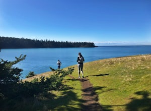
1.5 mi / 50 ft gainOne of the best routes to add to your itinerary when exploring Deception Pass State Park, one of Washington’s most popular year-round camping, hiking, and kayaking destinations; The Lottie Point Loop trail is a great offshoot of a larger trail system that takes you across soaring cliffsides and a...Read more -
Oak Harbor, Washington
Camp & Hike at the Deception Pass Headlands
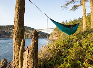
5.05 miTHE TRAIL: On the north side of the bridge, you'll come across Rosario Rd. Take this down to the Bowman Bay parking lot and your trailhead begins here. Take a moment to walk out on the fishing pier or watch what people are catching before you continue south on the trail towards Lottie Bay/Lightho...Read more -
Snoqualmie Pass, Washington
Hike to Margaret Lake
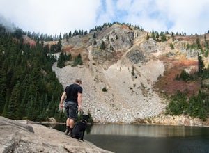
6 mi / 1800 ft gainStarting at an elevation of 3,300 feet, begin the hike on a steep gravel road for 1/4 of a mile. Take a left onto a dirt road that will lead to an area of clear cuts and windy switchbacks.As daunting as this may seem, don't be discouraged. On a clear day, the surrounding peaks of Snoqualmie Pass ...Read more -
Anacortes, Washington
Pacific NW Trail in Deception Pass State Park
5.02.12 mi / 259 ft gainStarting from the Rosario Beach parking lot, the trail heads out past a large recreation area for families and into a wooded area leading up to Rosario Head. At this point in the trail there are beaches on either side that provide a great opportunity to explore some tidal pools. If you choose to...Read more -
Skykomish, Washington
Hike Mount Sawyer
8 mi / 1200 ft gainThis trail starts off going through the forest of fir and hemlock for the first mile. Once you reach the top of the first hill, you will get a glimpse of all the views you will have the opportunity to enjoy later on. As you descend, the trees will start to thin out. The trail follows the ridge l...Read more -
Hoodsport, Washington
Summit Mount Ellinor
4.83.08 mi / 2467 ft gainHikers who reach the summit of Mount Ellinor are treated to a rarer view of Olympic National Park, one that is notably more immersive, rugged and dynamic than the common vista from Hurricane Ridge. Ellinor’s profile is, no doubt, familiar to most Seattleites, as it’s the Olympics’ southernmost p...Read more

