Glenoma, Washington
Top Spots in and near Glenoma
-
Enumclaw, Washington
Hike Grand Park and Lake Eleanor
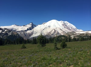
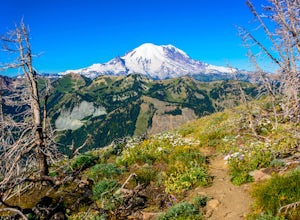
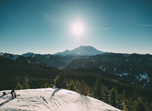
9 mi / 1100 ft gainPrepare in advance to hold your jaw from dropping. Stunning views of Mt. Rainier await visitors of Grand Park. A quick jaunt through the forest via the trailhead leads first to Lake Eleanor. Well groomed campsites are available for overnight stays.Head past Lake Eleanor and you're on the way to G...Read more -
Cougar, Washington
June Lake
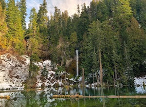
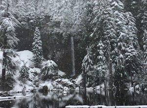
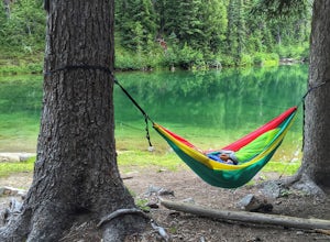
2.47 mi / 0 ft gainJune Lake, is a beautiful mountain lake located in Gifford Pinchot National Forest, Washington. The out-and-back trail starts at the June Lake Trailhead and parking area. This hike is family-friendly at just under 2.5 miles to June Lake. Dogs are permitted on the trail on their leash. This park...Read more -
Cougar, Washington
Loowit Trail Loop
4.032.46 mi / 7014 ft gainThis is a very difficult hike. Camp sites are scarce and access to water is very limited. Overexposure is a concern so be sure to pack a hat and apply sunscreen frequently. There are sketchy sections of the trail where you will be forced to navigate steep washed out gullies that are unstable due ...Read more -
Cougar, Washington
Mount St. Helens Summit via Worm Flows
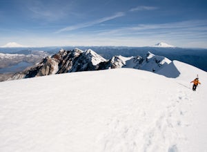
4.810.53 mi / 5725 ft gainThe Worm Flow Route, starting at Marble Mountain Sno Park, is the most direct winter route up to the summit. You'll start at around 2,700 feet and begin a steady walk along the trail for 2 miles. Although the trail is fairly well marked well above the snow, you'll want to pay attention to the arr...Read more -
Cougar, Washington
June Lake Loop via Pine Martin Trail
5.05.93 mi / 1079 ft gainIn the winter you will need to start at Marble Mt. Snowpark and purchase a snow park permit. The hike starts here on the eastern side. Follow the Pine Ski Trail for about 1 mile along NF-83 Road. Then follow the June Lake Trailhead up to June Lake for about 1.5 miles. You will come to June Lake a...Read more -
Enumclaw, Washington
Norse Peak via Silver Creek
7.77 mi / 2405 ft gainStart out in Crystal parking lot A. There is a small and steep trail that heads up the hill labeled as Silver Creek Trail. The trail follows a horse trail for the majority of the route and gets renamed Bullion Basin Trail shortly after you enter the woods, so when it doubt keep following the hoof...Read more -
Cougar, Washington
Explore the Ape Caves
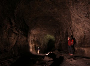
4.0As if erupting volcanoes weren't awesome enough, ancient lava flows also left behind these giant, hollow tubes as they cooled. Spend all day exploring deep underground in this 2.5 mile cave.To get there, head to the SOUTH side of Mount Saint Helens. You must pass through the town of Cougar to get...Read more -
Enumclaw, Washington
Catch the Sunset at Suntop Lookout
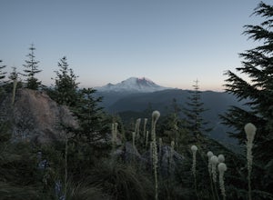
5.0Catching a beautiful sunset has never been so easy. This lookout tower is accessible by vehicle. The road is fairly smooth too. No car would have any trouble getting up to the top. The last gate before the lookout tower/peak is about a mile down. The gate does close at 8pm but is ran by voluntee...Read more -
Yakima, Washington
Surprise Lake via South Fork Tieton Trail
13 mi / 1549 ft gainGetting There Take Road 1000 to start your hike at Conrad Meadows, which is also where you will park your car, be sure to leave your Northwest Forest Pass properly displayed on the dash of your car before you leave. Surprise Lake trailhead is one of the very few trailheads that starts out on th...Read more -
Skamania County, Washington
Fly Fish Lewis River, Cougar, WA
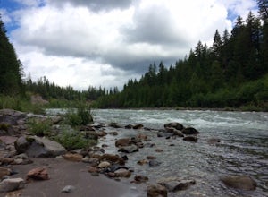
2.0An 1.5 hour drive NE from Vancouver, WA this section of the Lewis River makes for a perfect day fishing trip. Heading North on I-5 for approximately 20 miles take the Woodland / HWY 503 exit East and head towards Mt St. Helens. You'll follow the Lewis River along Hwy 503 (Lewis River Road) the ...Read more -
Ariel, Washington
Fly Fish Merrill Lake
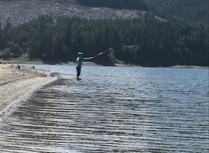
1 mi / 100 ft gainSurrounded by old growth forest, Merrill Lake near Cougar, Washington is the perfect little gem to get in some late summer, mid-elevation mountain lake fishing. The morning and evening hatches are known state wide for the size of fish they attract. There are stories of Eagles even stealing trout ...Read more -
Enumclaw, Washington
Snowshoe to Sun Top Peak
12 mi / 2000 ft gainFrom Tacoma, Wa. take Hwy 167 to Hwy 410 and follow that until you get to the Chinook Pass Hwy. Then from there follow this road and take the second Service Road on the right and follow this road until it dead ends. The trail starts on NF-7315. You have to walk this road until you reach the first...Read more -
Skamania County, Washington
Hike to the Summit of Mount Adams via South Climb
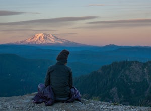
5.012 mi / 6700 ft gainStart by checking in at the Trout Lake Ranger station to pick up a Cascade Volcanoes pass for $10-$15. Continue the South Climb trailhead at the Cloud Cap Campground. Some hikers overnight here for an early start the next day.Sign out a wilderness permit at the trailhead and follow the South Clim...Read more -
Skamania County, Washington
Backpack around Mount Adams
1.032 mi / 7000 ft gainUnder 2 hours from Portland, Mount Adams sees a sizable crowd of visitors - but get beyond the first mile of the South Climb trail, and you're unlikely to encounter another person until you circle around all the way to the PCT. This loop around the mountain doesn't put you quite as high up as th...Read more -
Skamania County, Washington
McClellan Falls
1.00.7 mi / 200 ft gainThe trail begins at the parking for McClellan Overlook. Head out of the parking area and cross over the highway before heading onto a faint, unmarked trail. You may have to do a little routefinding, so it's best to download this map before heading out so you can make sure you stay on path. This...Read more -
Yakima County, Washington
Mount Adams Circumambulation
35.1 mi / 8881 ft gain***Before you go on this trek, give the Yakama Nation a call and talk to a Ranger to make sure the trail is open to backpackers or hikers.*** 1-509-865-5121 or 1-509-395-3402 There are a few places you can start this adventure, but starting from the South Climb Trail Head and Cold Spring Campgrou...Read more

