Easton, Washington
Looking for the best hiking in Easton? We've got you covered with the top trails, trips, hiking, backpacking, camping and more around Easton. The detailed guides, photos, and reviews are all submitted by the Outbound community.
Top Hiking Spots in and near Easton
-
Black Diamond, Washington
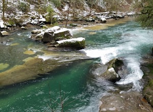
Hike Franklin Ghost Town
Visited here in August and the water was possibly the coldest I've ever swam in. A great half-day trip as the hikes are easy and the spots are quick to get to. The falls are located just to side of the road with a couple of different places to park. There's a $5 or $10 entrance/parking fee. A gre...Read more -
33317 Southeast Green River Gorge Road, Washington
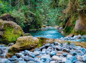
Explore the Green River Gorge
3.5The Franklin Ghost Town trailhead is just a large muddy lot, surrounded by no trespassing signs. When you pull in you will see signs for a $5 day use fee, just fill out the form and drop it in the box. There are two trails that leave the lot, one heads down to the river and is probably a mile rou...Read more -
Snoqualmie, Washington
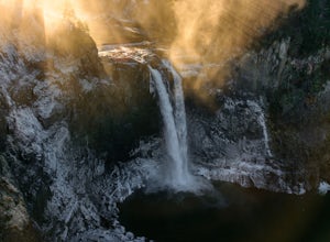
Snoqualmie Falls
4.21.4 mi / 509 ft gainSnoqualmie Falls is one of the most popular waterfalls in Washington. The waterfall is almost 270 feet tall and ranges in width all the way up to 150 feet when the water is really running. On sunny, warm days, it can be a little overrun with tourists. Figure out where you want to get your photo ...Read more -
Packwood, Washington
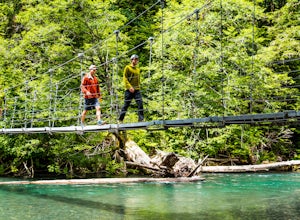
Hike the Grove of the Patriarchs
3.01.5 miThis trail is an easy trail to hike to the end and back. With very little to no elevation gain, some comfy shoes is all you need. There is a great opportunity near the start of the trail to walk down onto the beach and get right next to the river. Shortly after that there is a suspension bridge t...Read more -
Leavenworth, Washington
Hike and Snowshoe to Lanham Lake
4.03.2 mi / 1000 ft gainThis short but sweet snowshoe starts at 3000ft in the Stevens Pass Nordic Center parking lot. The trail head instantly puts you into the trees next to a groomed trail for skiers. Micro spikes will come in handy here, as the path can be a little icy and dusted with snow. After a short little climb...Read more -
Packwood, Washington
Canyoneering Olallie Creek, Mt. Rainier
2.5 mi / 700 ft gainDisclaimer: Canyoneering is a dangerous and technical activity. Don’t enter any canyon without the skills to match it, or the knowledge to navigate it. Be sure to check the flow of Olallie creek to ensure that it's safe. In an area where canyoneering isn’t hugely popular, here lies a canyon that ...Read more -
Leavenworth, Washington
Hike to the Summit of Mt. McCausland
8 mi / 1800 ft gainBegin by driving a fairly smooth Forest Road 6700 for 2.5 miles to the Smith Brook Trailhead and park in the space on the left. Much of the signage has been taken down along the trail, so it may be helpful to bring some written directions with you. The hike begins by keeping close to the road, me...Read more -
Leavenworth, Washington
Day Hike to Lake Valhalla
4.57 mi / 1500 ft gainThe Smith Brook trail starts off with several switchbacks, then continues up to Union Gap where it meets the Pacific Crest Trail. Turn south (left) at Union Gap and continue hiking until you reach the gap between Mount Lichtenberg and McCausland, where you get a first glimpse of Lake Valhalla.Jus...Read more -
Ashford, Washington
Hike to Spray Park
5.07 miThe trailhead to Spray Park begins at the Mowich Lake Campground (4,929 ft). You'll begin descending quickly for the first 0.1 miles until you reach the Wonderland Trail junction. Head left and make your way up a steady climb for the next 1.7 miles. The first stop you'll come across is Eagle Clif...Read more -
Ashford, Washington
Hike to Eunice Lake in Mt. Rainier NP
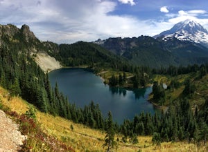
6.5 miStarting out from the beautiful Mowich Lake (4,929 ft), this hike takes you through some of Mt. Rainier Nation Park's best scenery. Thanks to the 13 miles of dirt roads it takes to even get to the trailhead, this hike is also rarely crowded. At 6.5 miles roundtrip to Eunice Lake, this is a grea...Read more -
Ashford, Washington
Tolmie Peak's Fire Lookout
4.45.73 mi / 1250 ft gainMount Rainier is spectacular to look at, but sometimes the best views aren't from on its slopes, but just a little ways away. Tucked in the seldom-visited northwest corner of Mount Rainier National Park, the Tolmie Peak fire lookout frames the mountain's rugged slopes with a pristine alpine lake ...Read more -
Ashford, Washington
Mowich Lake
5.01.56 mi / 92 ft gainNo need to for an entire day hike to enjoy wonderful reflections, crystal clear water, and beautiful scenery a few hundred feet from the parking lot! Park at the Mowich Lake Campground parking lot and follow signs for the Wonderland trail. You will begin your hike on the south side of the lake ...Read more -
Leavenworth, Washington
Hike to the Summit of Rock Mountain, WA
5.011 mi / 4175 ft gainThe trail starts out poorly, following a jeep road under high-tension wires. Shortly, though, the trail begins to switchback up the south face of Rock Mountain and the views, as well as the wildflowers, are remarkable.After switchbacking up the mountain, follow a ridge-line towards the upper basi...Read more -
Lewis County, Washington
Hike Indian Bar - Cowlitz Divide via Box Canyon
14.64 mi / 4235 ft gainThere are multiple ways to access Indian Bar. This one starts at Box Canyon. From the parking area at Box Canyon walk across the road and follow the signs for Wonderland Trail. Head up the Wonderland trail through the trees to the split with the Cowlitz trail. Continue on the Wonderland Trail...Read more -
Snohomish County, Washington
Hike Johnson Ridge to Scorpion Mountain
9 mi / 2650 ft gainFrom Skykomish, WA drive east on SR 2 roughly 1 mile and turn left on the Beckler River Road, FS RD 65. Drive north on this road approximately 7 miles taking a sharp right at the pavement's end just before crossing the Rapid River. You are now on FS RD 6520. Continue on this road bearing left a...Read more -
Randle, Washington
Trail Run to Silver Falls
5.02.4 mi / 200 ft gainThis is a trail that could easily be done by your older family members but also could be a nice trail run or quick hike for you. The trail starts from Loop B in the Ohanapecosh Campground and after a quick section, you will be walking over the hot springs in the area. They ask that you stay off t...Read more

