Des Moines, Washington
Top Spots in and near Des Moines
-
Ashford, Washington
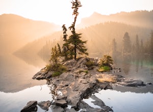
Mowich Lake
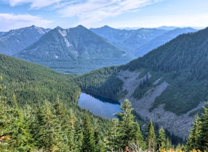
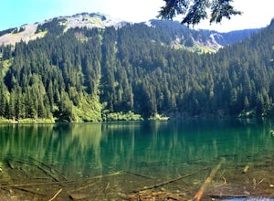
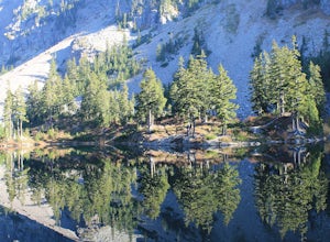
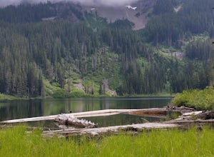
5.01.56 mi / 92 ft gainNo need to for an entire day hike to enjoy wonderful reflections, crystal clear water, and beautiful scenery a few hundred feet from the parking lot! Park at the Mowich Lake Campground parking lot and follow signs for the Wonderland trail. You will begin your hike on the south side of the lake ...Read more -
Ashford, Washington
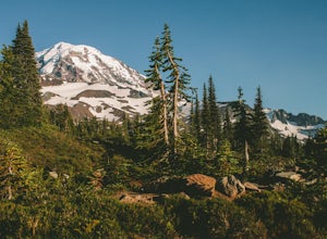
Hike to Spray Park
5.07 miThe trailhead to Spray Park begins at the Mowich Lake Campground (4,929 ft). You'll begin descending quickly for the first 0.1 miles until you reach the Wonderland Trail junction. Head left and make your way up a steady climb for the next 1.7 miles. The first stop you'll come across is Eagle Clif...Read more -
Ashford, Washington
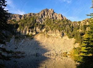
Hike to Eunice Lake in Mt. Rainier NP
6.5 miStarting out from the beautiful Mowich Lake (4,929 ft), this hike takes you through some of Mt. Rainier Nation Park's best scenery. Thanks to the 13 miles of dirt roads it takes to even get to the trailhead, this hike is also rarely crowded. At 6.5 miles roundtrip to Eunice Lake, this is a grea...Read more -
North Bend, Washington
Granite Mountain
4.27.92 mi / 3999 ft gainThe trek up Granite Mountain is a strenuous and fairly steep hike located east of Seattle and west of Snoqualmie pass off of I-90. Take exit 47 and turn North to a T intersection, park at the Pratt lake Trailhead at approximately 1860' and right beside I-90. The trail splits just after the first...Read more -
North Bend, Washington
Overnight Hike to Pratt Lake
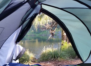
4.511 mi / 2300 ft gainThis overnight hike is definitely a challenge with 2,300 feet of elevation gain but all that huffing and puffing will be worth it when you reach the beautiful Pratt Lake Basin.The trail can be a bit busy in the first mile but most of the traffic is from day hikers on their way up the popular Gran...Read more -
North Bend, Washington
Camp and Trail Run from Tuscohatchie Lake
5.0This is a beginner to intermediate hike, at the first mile the trail has it first break where you can go up to the Lookout. If you continue going straight, you'll find waterfalls and lakes on the trail. 2.5 Miles in on the trail is another turn to Ollalie and Talapus Lake. Continue onto the 4-m...Read more -
Brinnon, Washington
Hike Lower Big Quilcene River
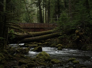
13 mi / 1800 ft gainWhile this hike does not provide any sort of fantastic views, its does provide an easy ~13 mile roundtrip hike from the trailhead to a parking lot for the Upper Big Quilcene Trail which leads to Marmot Pass. Along the way you will cross several bridges, some large and wide, other simple log bridg...Read more -
North Bend, Washington
Annette Lake
4.57.2 mi / 1923 ft gainFrom Seattle drive east on I-90 to exit 47 (Asahel Curtis/Denny Creek). Turn right from the off-ramp and continue 0.25 mile, then turn left on Forest Road 5590. You'll find the parking area in 0.3 mile. Between the thick second-growth forest stands and the high alpine lake, the trail rolls along...Read more -
Mason County, Washington
Climb the Brothers (South Climb)
4.517 mi / 6062 ft gainThe Brothers is a notable peak on the border of Olympic National Park. The dual summits are a distinguishing feature of the Olympic Range, viewed from Seattle. This is a challenging route, testing a climber's route finding skills, physical fitness, and mental fortitude. From the parking lot, you ...Read more -
Mason County, Washington
Lena Lake
4.56.24 mi / 1644 ft gainThe trail climbs gently up and is accessible almost every season, weather permitting. Snowshoes may be needed December-February, so make sure and check with the Hoodsport Ranger Station. Just 45 minutes north of Hoodsport (a darling small town on the shores of Puget Sound), this trailhead has sp...Read more -
Mason County, Washington
Upper Lena Lake
5.012.61 mi / 4239 ft gainThe hike to Upper Lena Lake is a beautiful one. It first takes you past Lena Lake, which is a very popular weekend destination for families. Luckily you're pushing on to Upper Lena Lake that sits in a peaceful alpine meadow with Mt. Lena and Mt. Bretherton towering above. The first part of the t...Read more -
Brinnon, Washington
Camp at the Dose Forks
15 mi / 1200 ft gainThe Dose Forks Campground is an overlooked campsite deep within the Olympic National Park, making it a perfect weekend camping destination. A mild, 7.5 mile (one-way) trail delivers you to this enchanting area and is a must for those who love photographing forests. There are no reservation requir...Read more -
North Bend, Washington
Melakwa Lakes via Denny Creek Trail
4.68.84 mi / 2615 ft gainThis hike has it all: old-growth forests, rivers, waterfalls, alpine lakes, views, peaks, and so on. The hike starts from near Denny Creek Campground in between the separate I-90 viaducts. Almost immediately, you will cross over a walk bridge over Denny Creek's waterfalls, and then eventually und...Read more -
North Bend, Washington
Kaleetan Peak
9 mi / 2200 ft gainInitial note: because this is an alpine scramble, do your research before tackling this adventure, including learning the correct route and the current conditions (such as any early- or late-season snow). From the Denny Creek Trailhead, take the Denny Creek trail just over 4 miles to Melakwa Lak...Read more -
North Bend, Washington
Kaleetan Lake via Denny Creek Trail
If you want to visit multiple lakes, get a view of or tackle a peak at Kaleetan, Chair, and Bryant, campgrounds for overnight or weekend adventures, fish in the lakes, explore off the trail and natural waterslides and picnic area waterfalls, this is for you. Denny Creek Trail offers it all! Afte...Read more -
Snoqualmie Pass, Washington
Hike Mount Catherine
5.03 mi / 1300 ft gainStart off on the extremely rough Forest Service 9070 road. Follow this for just over 4 miles until you see a sign for trail #1348 on the right. There is only enough room for a couple cars at the trailhead.You start off climbing right away, covering 800 feet of elevation in the first 0.80 miles of...Read more

