Cook, Washington
Looking for the best photography in Cook? We've got you covered with the top trails, trips, hiking, backpacking, camping and more around Cook. The detailed guides, photos, and reviews are all submitted by the Outbound community.
Top Photography Spots in and near Cook
-
Government Camp, Oregon
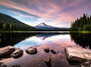
Trillium Lake
4.91.89 mi / 108 ft gainTrillium Lake is a popular camp spot at the base of Mount Hood. It's known for it's scenery, abundant recreational activities, and is family friendly. Boating, swimming and fishing are quite popular on the 63 acre lake. There is a small boat ramp within the campground and a larger ramp available ...Read more -
Skamania County, Washington
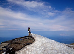
Hike to the Summit of Mount Adams via South Climb
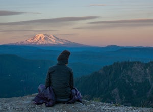
5.012 mi / 6700 ft gainStart by checking in at the Trout Lake Ranger station to pick up a Cascade Volcanoes pass for $10-$15. Continue the South Climb trailhead at the Cloud Cap Campground. Some hikers overnight here for an early start the next day.Sign out a wilderness permit at the trailhead and follow the South Clim...Read more -
Amboy, Washington
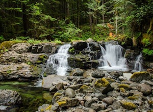
Siouxon Trail to 14 Mile Falls
5.013.03 mi / 2310 ft gainWhen you park at the top of the trail, all you see is layers and layers of emerald trees and ground clear of any underbrush. Once on the trail, you start on a rapid decline that brings you to the first of the many streams along this hike. Cross the bridge made out of logs and head towards the ma...Read more -
Skamania County, Washington
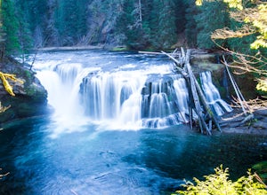
Hike to Lewis River Falls
4.3Distance: 5.4 milesElevation Change: 500ftThis Lewis River hike starts at Lower Falls then follows the Lewis River Trail #31, detours up to Copper Creek, before returning back to the main trail for the magnificent Upper Falls. Enticing views of the crystalline water in the Lewis River will make y...Read more -
Government Camp, Oregon
Veda Lake Trail
4.02.5 mi / 748 ft gainThis hike starts at the Fir Tree Trailhead and is an out and back 2.8 mile round trip. It's short, but there's 660 feet of elevation gain. To start, you climb steeply then it's an easy hike to a beautiful viewpoint overlooking the lake. The trail descends via switchbacks down to the lake for the ...Read more -
Rhododendron, Oregon
Frustration Falls
3.08.26 mi / 1854 ft gainThe hike and possible rappel to Frustration Falls begins at the Salmon River trailhead right outside of Welches, Oregon. From the trailhead you follow the trail for about 4 miles at which point you reach Canyon View (Shown in pictures 5-6 above). From the main trail this is the only view of Frust...Read more -
Rhododendron, Oregon
Devil's Peak Lookout
3.02.62 mi / 600 ft gainThe Trail: This hike is one of the 2 routes that lead to the lookout, and the shorter of the two. It requires more driving to get to the trailhead than the other, but less walking, so if that sounds appealing to you, you have come to the right place! First, you'll be greeted by a dense forest w...Read more -
Sandy, Oregon
Photograph Jonsrud Viewpoint
4.5The view from this spot is definitely worth the drive, if you're visiting Portland or the Columbia River Gorge area I highly recommend taking the time to stop here. Not a lot of people know about this spot and its likely you'll be the only person/people there!If you get the chance, definitely com...Read more -
Camas, Washington
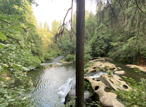
Explore Camas Pothole Falls
4.00.5 mi / 0 ft gainThis is on the Round Lake Loop trail and there’s a free parking area. It’s a relatively in and out hike that is family friendly but does have some downhill scrambles. Be careful when jumping as there has been fatalities in the past but as long as you’re practicing safe swimming you’ll be okay.Read more -
Wasco, Oregon
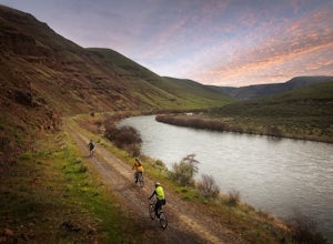
Mountain Biking the Deschutes River Trail
4.0The Deschutes River Trail—an old smooth road really, with a mix of dirt, sand and gravel—is a great mountain bike ride or hike for beginners and experts alike. While the trail is very easy, the scenery all along the route is breathtaking.Park at the well-marked trailhead just to the left as you e...Read more -
Camas, Washington
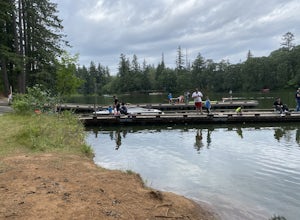
Kayak Lacamas Lake
5.0Lacamas Lake is popular for all types of water activities with easy access because of it’s dock and free public parking. This area is family and dog friendly and has picnic tables for a place to sit down and have a nice lunch after swimming. Rope swings can be found along the beach if you’re the ...Read more -
Camas, Washington
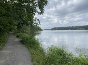
Hike Lacamas Heritage Trail
5.03.5 mi / 139 ft gainUsed often for cross country practice, the Lacamas Heritage Trail is a popular gem in Camas, Washington for all citizens. It is family and dog friendly and comes with endless scenic views of the beautiful Lacamas Lake. Parking is free and there are bathrooms at the entrance.Read more -
Clackamas County, Oregon
Tumala (Squaw) Mountain
4.74.51 mi / 1099 ft gainOn a clear day, this short, secluded hike offers breath-taking views of Mt. St. Helens, Mt. Rainier, Mt. Adams, Mt. Hood, and Mt. Jefferson, as well as of downtown Portland, Coast Range, and the Roaring River Wilderness. Begin the hike from the Twin Springs Trailhead and immediately take your fi...Read more -
Cougar, Washington
Hike the Lava Canyon
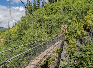
3.06.5 miStarting at the Lava Canyon Trailhead, you will walk on a paved trail down a few switchbacks until you reach the river, where you can go right or left. Either way takes you to the suspension bridge, but I recommend going right if you are following this guide. It will make more sense in a moment.A...Read more -
Cougar, Washington
Loowit Trail Loop
4.032.46 mi / 7014 ft gainThis is a very difficult hike. Camp sites are scarce and access to water is very limited. Overexposure is a concern so be sure to pack a hat and apply sunscreen frequently. There are sketchy sections of the trail where you will be forced to navigate steep washed out gullies that are unstable due ...Read more -
Cougar, Washington
Mount St. Helens Summit via Worm Flows
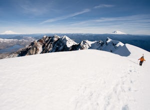
4.810.53 mi / 5725 ft gainThe Worm Flow Route, starting at Marble Mountain Sno Park, is the most direct winter route up to the summit. You'll start at around 2,700 feet and begin a steady walk along the trail for 2 miles. Although the trail is fairly well marked well above the snow, you'll want to pay attention to the arr...Read more

