Carbonado, Washington
Looking for the best fitness in Carbonado? We've got you covered with the top trails, trips, hiking, backpacking, camping and more around Carbonado. The detailed guides, photos, and reviews are all submitted by the Outbound community.
Top Fitness Spots in and near Carbonado
-
Ashford, Washington
Summerland Trail
5.08.62 mi / 2359 ft gainThe Summerland trail is by far the easiest trail that I ever experienced. The trail is well maintained and for the first 3 miles you are surrounded by trees and the sound of waterfalls and rivers, and it's green everywhere. The last 1.3 miles, you encounter switchbacks and you can get some view...Read more -
Ashford, Washington
Hike Kautz Creek to Indian Henry's Hunting Ground
11 mi / 2520 ft gainNamed after the Native American who lived here prior to Mt. Rainier becoming a national park, So-To-Lick's was dubbed "Indian Henry" by the postman who unfortunately did not learn his name. When heading out on this hike, keep an eye on the weather in Mt. Rainier National Park. If hiking this trai...Read more -
Packwood, Washington
Lakes Trail Loop
5.34 mi / 1381 ft gainThe Lakes Trail Loop can be accessed two ways. You can either start in Paradise and find one of the multiple points along the Skyline Trail or you can begin at Reflection Lake. My recommendation for a nice day hike is to begin at Reflection Lake. If you arrive by 8am you should have an easy time...Read more -
Gig Harbor, Washington
Run through Point Defiance Park
5.04.3 miPoint Defiance Park is the largest urban park in Pierce County and it provides a variety of amenities. Located at the very northwest tip of Tacoma, the park provides residents with a much needed retreat from the bustle of everyday life. Point Defiance Park is the place to go if you need a quick d...Read more -
North Bend, Washington
Snowy Hike to Rattlesnake Ledge
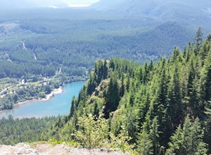
4.54 mi / 1160 ft gainThe trail to Rattlesnake Ledge is one of the busiest in Washington. Usually, a Saturday or Sunday is a no go for a lot of avid hikers due to the crowds. Adding a little snow and cold diminishes the crowds nicely. While it is no secret, this hike is popular for a reason. The 2 miles it takes t...Read more -
Renton, Washington
Far County Falls via Licorice Fern Trail
4.24.25 mi / 801 ft gainFrom Seattle, take the I-90 E to exit 15. Make a right on 17th Ave. This street will later become Renton/Issaquah Rd. Drive about four miles then turn right on to May Valley Rd. Make a sharp right onto SE 112th St. This street will soon turn into 169th Ave SE as it turns left. The trailhead is ri...Read more -
Issaquah, Washington
Poo Poo Point
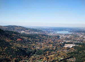
4.46.57 mi / 1880 ft gainThe Poo Poo Point trail is a great option for beautiful forest and great views only about 20 minutes outside of Seattle. The longer and less steep of the two routes to Poo Poo Point, this trail leaves from the Issaquah High School (the shorter and steeper Chirico Trail leaves from the paragliding...Read more -
Snoqualmie, Washington
Rattlesnake Mountain Traverse Run
21.1 miTo Snoqualmie Point Park, from Seattle take I-90 east to Exit 27. At the end of the off-ramp, go right and follow the road to the end. Go through the gate on the right to enter the trail head To Rattlesnake Lake: From take I-90 to Exit 32. Go south on 436th Ave. SE, turning into Cedar Falls Rd...Read more -
North Bend, Washington
McClellan Butte
5.010.61 mi / 3629 ft gainStarting at the McClellan's Butte Trailhead, right off of I-90 exit 47, head out on the main (only) trail at the trailhad. The first half mile of the trail is quite easy as it meanders through the forest, but don't be fooled or worried, it will get harder. This first half mile has a crossing of a...Read more -
Bellevue, Washington
Coal Creek Trail
4.05.55 mi / 545 ft gainThis trail takes you through Coal Creek park and follows the creek along the trail with minimal elevation gain. This trail can also be accessed from the northern end of the park if that's a more convenient drive. For the lower parking lot, park at the Red Town lot (exit 13 off I-90) and cross the...Read more -
Packwood, Washington
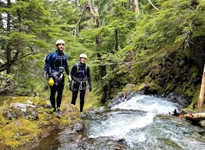
Canyoneering Olallie Creek, Mt. Rainier
2.5 mi / 700 ft gainDisclaimer: Canyoneering is a dangerous and technical activity. Don’t enter any canyon without the skills to match it, or the knowledge to navigate it. Be sure to check the flow of Olallie creek to ensure that it's safe. In an area where canyoneering isn’t hugely popular, here lies a canyon that ...Read more -
North Bend, Washington
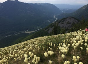
Bandera Mountain
4.47.8 mi / 3176 ft gainThis hike has unreal views of Mount Rainier. On a great clear spring day, the mountain is out. It's right in your face. It's incredible. If you tackle this hike in the spring the bear grass and wildflowers are alive and blooming towards the top and it makes for some fantastic picture-taking. Once...Read more -
North Bend, Washington
Camp and Trail Run from Rainbow Lake
I backpacked to and setup basecamp at Rainbow Lake and then I ran over to Island Lake. After enjoying the peace and quite I ran up to the top of Bandera Mountain and enjoyed the views. Then, I ran back to basecamp and spent the night. The following morning I ran up to the top of Mount Defiance a...Read more -
Randle, Washington
Trail Run to Silver Falls
5.02.4 mi / 200 ft gainThis is a trail that could easily be done by your older family members but also could be a nice trail run or quick hike for you. The trail starts from Loop B in the Ohanapecosh Campground and after a quick section, you will be walking over the hot springs in the area. They ask that you stay off t...Read more -
North Bend, Washington
Camp and Trail Run from Tuscohatchie Lake
5.0This is a beginner to intermediate hike, at the first mile the trail has it first break where you can go up to the Lookout. If you continue going straight, you'll find waterfalls and lakes on the trail. 2.5 Miles in on the trail is another turn to Ollalie and Talapus Lake. Continue onto the 4-m...Read more -
North Bend, Washington
Kaleetan Lake via Denny Creek Trail
If you want to visit multiple lakes, get a view of or tackle a peak at Kaleetan, Chair, and Bryant, campgrounds for overnight or weekend adventures, fish in the lakes, explore off the trail and natural waterslides and picnic area waterfalls, this is for you. Denny Creek Trail offers it all! Afte...Read more

