Bow, Washington
Looking for the best chillin in Bow? We've got you covered with the top trails, trips, hiking, backpacking, camping and more around Bow. The detailed guides, photos, and reviews are all submitted by the Outbound community.
Top Chillin Spots in and near Bow
-
Deming, Washington
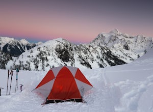
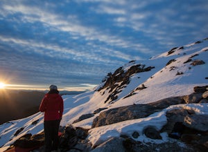
Winter Backpack to Artist Point
4 mi / 1000 ft gainYou do need a Northwest Forest Pass to park in the lot overnight. You can buy a day use E-pass online here (pick Mount Baker-Snoqualmie National Forest from the drop down menu) and print it out and it's ready to use. Or you can buy the annual pass here.The adventure to Artist Point begins in the ...Read more -
Deming, Washington
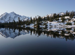
Catch a Sunrise at Picture Lake
4.7Set your eyes on one of the most photographic mountain landscapes in North America. You can drive up early for the sunrise, but really any time of day will be a treat.In the spring, make sure to come when the lake isn't frozen over so you can get the full reflection of Mt. Shuksan on the water. T...Read more -
Delta, British Columbia
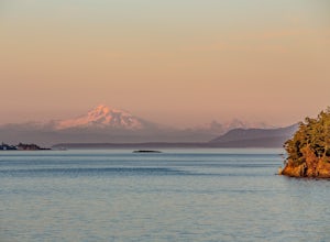
Take a Sunset Ride on the Tsawwassen-Swartz Bay Ferry
4.0You can walk on or take your car on the ferry. Either way gets you to the same views. Make sure you sit on the right side of the boat (and it sometimes turns around once leaving the dock). Set up on the upper deck, and prepare yourself for an unbelievable show. Make sure you check out the onboard...Read more -
Whatcom County, Washington
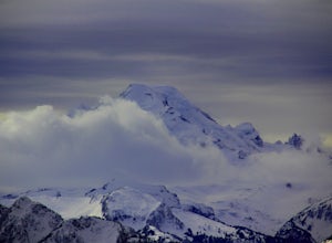
Winter Hike to Winchester Mountain
3.5 mi / 1320 ft gainDespite this trip report being titled "to Winchester Mountain", the fun doesn’t stop there. Even though Winchester Mountain is the most popular summer hike departing from Twin Lakes, this whole area turns into a fun-zone during the winter.Upon reaching higher ground above the lakes, this zone off...Read more -
Delta, British Columbia
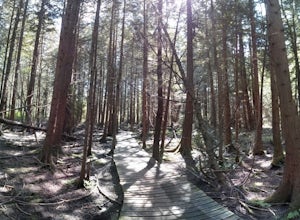
Hiking through Burns Bog Delta Nature Reserve
1.9 miAs you begin your journey into Burns Bog Delta Nature Reserve from the parking lot and small trail coming off of Westview Drive, notice the gravel trail ahead of you and across the train tracks that will take you into the bog itself and take a left. After spending a few minutes on the straight tr...Read more -
Victoria, British Columbia
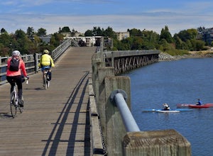
Galloping Goose Trail
36.14 mi / 1831 ft gainThe Galloping Goose Regional Trail connects downtown Victoria, Canada to the former town of Leechtown. Part of the Trans Canada Trail (which traverses the entire country) the Galloping Goose follows the path of the former Canadian National Railway passing through the communities of Sooke, Metchos...Read more -
Victoria, British Columbia
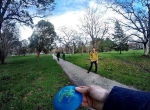
Beacon Hill Park
5.0Beacon Hill Park is the jewel of Victoria's crown. Spanning 200 acres and connecting Downtown to the ocean alongside Dallas Road, Beacon Hill Park is one of the highlights of visiting the Capitol city on Vancouver Islands southern tip. Every corner of the park features unique flora, fauna and p...Read more -
Maple Ridge, British Columbia
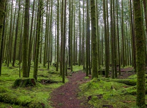
Stroll along the Spirea Nature Trail
3.01.5 mi / 0 ft gainAn hour outside of downtown Vancouver lies the beautiful 150,000 acre Provincial Park of Golden Ears. The park has a myriad of hikes and adventures all with varying degrees of difficulty. The Spirea Nature Trail likely clocks in as one easiest amongst the dozens within the park. However, don’t le...Read more -
Fraser Valley F, British Columbia
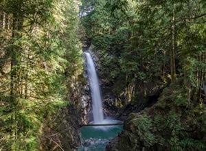
Hike to Cascade Falls, British Columbia
4.80.5 mi / 131.2 ft gainWhen you get to the parking lot go past the access gate and follow the very well maintained trail. The hike to the viewing platform is all uphill, but short. After a couple minutes you will reach wooden stairs that take you to a viewing platform as well as to the suspension bridge where you can c...Read more -
Sequim, Washington
Hike Dungeness Spit
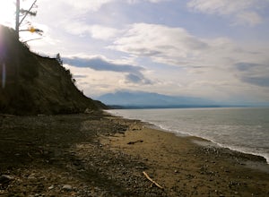
3.511 mi / 130 ft gainPark at a the north side of the Dungeness Spit Recreation Area, in the Refuge parking lot. There is a kiosk at the Refuge where you can pay an entrance fee ($3) and check the Tide Table. Only attempt the hike at low tide or the sand spit becomes narrow and you have to climb over logs.Follow the R...Read more -
Victoria, British Columbia
Hike around Thetis Lake
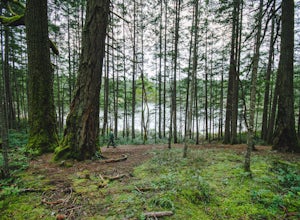
4.51.9 mi / 196.9 ft gainTake Highway 1 west from Victoria. Turn onto Exit 10 (View Royal/Colwood) and continue on the Island Highway. Turn right at Six Mile Road, which leads straight to Thetis Lake Regional Park.Note that this park is also accessible by bike via the Galloping Goose Trail.With minimal elevation (~60m) a...Read more -
Victoria, British Columbia
Hike to Jocelyn Hill
4.05.75 mi / 1499 ft gainGowlland Tod is a beautiful park, running along the Finlayson Arm fjord. Jocelyn hill is in the middle of the park, and can be accessed from the Caleb Pike access at the South end (along the Ridge trail) or from the McKenzie Bight access at the North end (along the Timberman trail). With planning...Read more -
Maple Ridge, British Columbia
Camp in Golden Ears Provincial Park
11.2 mi / 3937 ft gainBackcountry permits are required to camp on Panorama Ridge ($5) and can be paid online.The trailhead is located at the West Canyon Parking lot. The trail starts out on a relatively flat old logging road. The trail slowly gains elevation over three kilometers taking you through thick green forest ...Read more -
Maple Ridge, British Columbia
Summit Golden Ears
4.514.9 mi / 5039.4 ft gainDay 1 Starting from the Golden Ears parking lot, your journey begins up a relatively small incline passing two bridges and entering the forest. Continue through the forest passing small cliffs and revealing some views of what you are going to climb the next day. Your estimated time it should take...Read more -
Maple Ridge, British Columbia
Hiking Upper Gold Creek Falls
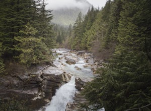
4.5Once you arrive in Golden Ears Park, follow the road to the end and look for signs to the Gold Creek Day Area. The road will turn to gravel, and after you cross a small, one-line bridge, you will reach the parking lot.After you have parked, head north past the yellow gate, marked East Canyon Trai...Read more -
Maple Ridge, British Columbia
Hike to Lower Falls in Golden Ears Provincial Park
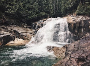
5.03.5 miLower Falls is found within Golden Ears Provincial Park in British Columbia. Easily accessible from the Gold Creek Parking lot, it is a relatively flat trail snaking along Gold Creek itself. It can be done as an out & back trail, or you can make it a loop by using the connector trail located ...Read more

