Black Diamond, Washington
Looking for the best hiking in Black Diamond? We've got you covered with the top trails, trips, hiking, backpacking, camping and more around Black Diamond. The detailed guides, photos, and reviews are all submitted by the Outbound community.
Top Hiking Spots in and near Black Diamond
-
North Bend, Washington
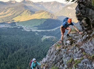
Scramble Guye Peak
4.5 mi / 2200 ft gainThere are quite a few ways up Guye Peak ranging from a simple walk up to multiple pitches of technical rock climbing. Both of the routes described here start from the PCT parking lot north of exit 52 of I-90 at Snoqualmie Pass. Some of the scrambling described would be treacherous in wet or sno...Read more -
North Bend, Washington
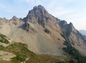
Climb Mount Thomson
16 mi / 4500 ft gainThe West Ridge of Thomson is rated 5.6 and is 4-5 pitches depending on how you break it up. The East Ridge is some spicy 4th class and although people do scramble it, it is recommend to use a rope on the descent. The Approach Starting at the PCT trail-head you have two options. You can take the ...Read more -
North Bend, Washington
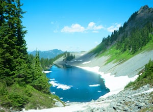
Hike to Gravel Lake
13.6 mi / 2759 ft gainStarting at the Snoqualmie Pass PCT trailhead, you start hiking through an old growth forest. This hike has a nice gradual incline with views starting near a talus field. Late June, early July wildflowers are growing like crazy along the trail. This field offers a up close view of Mt. Rainier alo...Read more -
North Bend, Washington
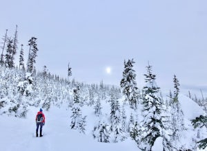
Snowshoe Kendall Peak Lakes
9 mi / 2000 ft gainThis hike starts at the Gold Creek sno-park. You need the sno-park and discover pass for this. Park on the side of the road and start hiking up from there. Hike road up and up and up! It's very compact snow (at the moment, that will change fast with new snow coming in). We ended up leaving our sn...Read more -
North Bend, Washington
Goldmyer Hot Springs
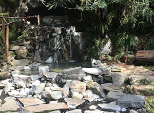
4.110.48 mi / 817 ft gainGoldmyer Hot Springs is a beautiful little gem nestled within the wilderness of the stunning Cascade Mountains. This hot springs complex is situated on the old remains of a mining town, and delivers steadily flowing water to a set of tiered pools along the mountainside. The “cave” pool at the top...Read more -
Snoqualmie Pass, Washington
Hike Gold Creek Pond
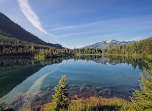
5.01 miThe quintessential family friendly hike, Gold Creek Pond is a simple yet spectacular hike next to Snoqualmie Pass. Easily accessible from the top of the pass (4.5 miles, 12 minute drive), the Gold Creek Pond hike is a simple addition to any itinerary if you're in the area. From Hwy 90, take exit...Read more -
Snoqualmie Pass, Washington
Snowshoe Gold Creek Pond
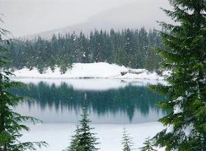
4 mi / 400 ft gainSince the parking lot is not plowed in the winter you have to park along the main road next to the drive way toward the hike. Once to the trial head it is smooth sailing the rest of the hike. When I went the snow was compacted so snowshoes were not necessary but they are very helpful. Once to the...Read more -
Snoqualmie Pass, Washington
Hike-In and Camp at Alaska Lake
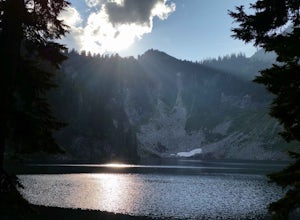
Driving Directions: From Seattle drive east on I-90 to exit 54 (signed "Hyak"). Turn left (north) under the freeway and right on the frontage road marked "Gold Creek." After about 0.5 mile turn left (north) on Gold Creek Road (Forest Road 4832), and in another 0.5 mile reach a junction. To the le...Read more -
Snoqualmie Pass, Washington
Hike to Margaret Lake
6 mi / 1800 ft gainStarting at an elevation of 3,300 feet, begin the hike on a steep gravel road for 1/4 of a mile. Take a left onto a dirt road that will lead to an area of clear cuts and windy switchbacks.As daunting as this may seem, don't be discouraged. On a clear day, the surrounding peaks of Snoqualmie Pass ...Read more -
Seattle, Washington
Loop Trail - Discovery Park
3.5 mi / 200 ft gainThe Loop Trail in Discovery Park offers a nice respite from the city, with views of the Puget Sound, open fields and forest. Given it's a loop, there are a couple of different options to begin the hike. The most common is to park at the East Visitor Center Parking lot and take a short connector t...Read more -
Seattle, Washington
Discovery Park Beach
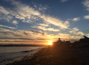
4.32.39 mi / 535 ft gainDiscovery Park and its beach area great for walking, running, photography, and taking in a sunset. If you want to put your feet in the sand, head down to the western most part of the park. This beach is a sand beach with an iconic lighthouse at the end. Dirftwood also washes up on the beach provi...Read more -
Ashford, Washington
See the Milky Way over Mt. Rainier
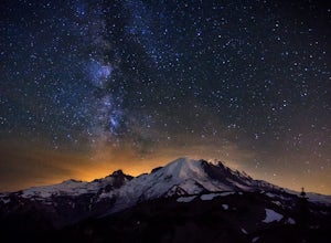
4.82.52 mi / 322 ft gainThe Milky Way and Mount Rainier is a beautiful combination. In order to get a photo of the Milky Way over Mount Rainier you need to be in the right spot at the right time of year. The spot seen in the photographs is a great spot in that it isn't too far of a hike and provides an unobstructed view...Read more -
Ashford, Washington
Mt. Fremont Fire Lookout Trail
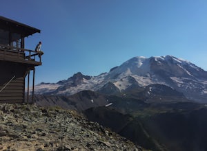
4.65.78 mi / 787 ft gainEscape the crowds at Paradise and come enjoy the best views in the park! Start from the visitor's center parking lot and head up the Sourdough Ridge Trail and hike the 1.3 miles to Frozen Lake. Along the way (depending on the season) you'll hike up snow, through glorious fields of wild flowers, ...Read more -
Ashford, Washington
Hike Sunrise Trails at Mount Rainier
5.06 mi / 1200 ft gainI grew up in Washington, but didn't get out to Mount Rainier until I came home for a visit years later. We took advantage of the nonexistent snowpack and headed up in mid-June, which is normally a terrible time to visit (think late summer). There are two main areas in the park, Sunrise and Paradi...Read more -
Ashford, Washington
Hike Dege Peak in Mount Rainier National Park
5.03.5 mi / 600 ft gainWhile most hikers who park at the Sunrise Visitor Center head west to get closer to the peak of Mount Rainier, heading east will take you away from the crowds while still providing incredible views. Starting from the parking lot, head north up a set of stairs. When you reach the split in the tra...Read more -
Ashford, Washington
Burroughs Mountain Trail
4.69.32 mi / 2270 ft gainThe Burroughs Mountain Trail comes from a series of trails out of the Sunrise Area. First piece of advice is to set your alarm clocks! The parking lot and trails get busy quite quickly, especially in the summer. From the parking lot you will start by taking the Sourdough Ridge Trail up to Frozen...Read more

