Bellevue, Washington
Looking for the best hiking in Bellevue? We've got you covered with the top trails, trips, hiking, backpacking, camping and more around Bellevue. The detailed guides, photos, and reviews are all submitted by the Outbound community.
Top Hiking Spots in and near Bellevue
-
Enumclaw, Washington
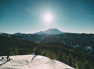
Snowshoe to Sun Top Peak
12 mi / 2000 ft gainFrom Tacoma, Wa. take Hwy 167 to Hwy 410 and follow that until you get to the Chinook Pass Hwy. Then from there follow this road and take the second Service Road on the right and follow this road until it dead ends. The trail starts on NF-7315. You have to walk this road until you reach the first...Read more -
Sequim, Washington
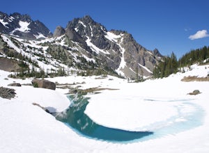
Hike to Royal Basin
4.715.76 mi / 3409 ft gainIf you're looking for a long day hike or multi-night backpacking trip in the Olympics, add Royal Lake and Royal Basin to your adventure list! The first mile of trail along the Dungeness River gains a gentle 300 feet. When you reach the bridge, do not cross it (the trail across the bridge goes...Read more -
Hoodsport, Washington
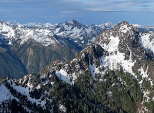
Climb Mt. Washington
3.5Follow the driving directions, pass the upper Mt Eleanor parking area and continue until the road dead-ends due to a landslide. Try to leave room for cars to turn around when you park.Follow the trail which starts just near the lake boulder near the parking area. The trail through the lower slope...Read more -
Arlington, Washington
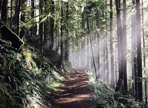
Boulder River Trail
4.38.12 mi / 1424 ft gainBoulder River is a great outing for those days when you feel like you just need a good hike through the forest. This makes for a nice long day hike, but because both of the large waterfalls are within the first half of the trail, you can still see the falls without going the whole way. One of the...Read more -
Hoodsport, Washington
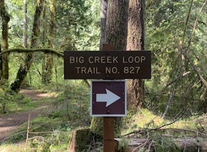
Upper Big Creek Loop Trail
4.76 mi / 1142 ft gainUpper Big Creek Loop Trail is a loop trail that takes you by a river located near Lilliwaup, Washington.Read more -
Easton, Washington
Snowshoe to Amabilis Mountain
9.5 mi / 2100 ft gainTo reach Amabilis Mountain, park at the Cabin Creek Sno Park at Exit 63 off I-90. Take the overpass across the highway to the trailhead and strap on your snowshoes. There's a maze of cross-country ski trails, but you'll want to keep to the right and follow the Berg trail for a quarter mile until ...Read more -
Darrington, Washington
Camp at Goat Lake
4.310.4 mi / 1400 ft gainIf you just loved your day hike to Goat Lake so much that you want to return and spend some more time, you're in luck - the lake offers a camping area that holds at least 15 campsites and even comes with a pit latrine. This is a great overnight option if you aren't looking for a difficult hike in...Read more -
Darrington, Washington
Winter Hike to Goat Lake
4.010.4 mi / 1400 ft gainThis trail is a perfect winter hike for the average outdoorsmen. Be warned that the most difficult part of this hike is getting to the trailhead in winter. The Mountain-loop highway can be a dangerous drive with black ice, snow, and serious potholes along the way. Take proper precautions like cha...Read more -
Darrington, Washington
Hike to Goat Lake
4.510.4 mi / 1400 ft gainThe trail starts by lazily winding through beautiful forest. Fairly quickly, you'll reach a fork for the Upper and Lower Elliot Creek Trails. Both will take you to Goat Lake in about the same distance (~3 miles), but each offers a different take on the area. The lower trail winds along as it foll...Read more -
Mason County, Washington
Hike to Lake of the Angels
5.06.75 mi / 3599 ft gainThe trail up to Lake of the Angels, known as the Putvin Trail, starts out pretty mellow with a gradual uphill climb. Your first marker will be an old roadbed at around 1.4 miles, but you'll need to cross two ravines before making it there. It's thick forest with gorgeous views in the clearings, s...Read more -
Enumclaw, Washington
Catch the Sunset at Suntop Lookout
5.0Catching a beautiful sunset has never been so easy. This lookout tower is accessible by vehicle. The road is fairly smooth too. No car would have any trouble getting up to the top. The last gate before the lookout tower/peak is about a mile down. The gate does close at 8pm but is ran by voluntee...Read more -
Hoodsport, Washington
Snowshoe Mt. Ellinor's Winter Route
5 mi / 4500 ft gainYou can stat this adventure at one of two trailheads. I suggest using the lower of the two. The start of the trail ascends through a forest of old growth pines with periodic views of Mt Washington. Eventually, at a fork in the trail, you will see a sign marking the start of the winter route. You ...Read more -
Enumclaw, Washington
Backpack Noble Knob via Greenwater Trail
16.9 mi / 3920 ft gainFrom Greenwater heading south: Pass the fire station to FR 70 on the left. Follow FR 70 for about nine miles to FR 7033. Take a right and follow the road to the trailhead. Northwest Forest Pass required. The trail is in good shape and mostly flat to Greenwater Lakes which is great for families a...Read more -
Enumclaw, Washington
Hike to Greenwater Lakes
4.5 mi / 900 ft gainFollowing along the Greenwater River, family friendly Greenwater lakes Trail #1176 which has minimal elevation gain, winds through a lush green mossy old growth forest. Along the trail you will cross over several log bridges and pass a couple of beautiful waterfalls. At just under two miles int...Read more -
Ashford, Washington
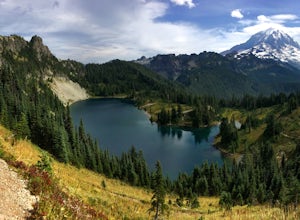
Tolmie Peak's Fire Lookout
4.45.73 mi / 1250 ft gainMount Rainier is spectacular to look at, but sometimes the best views aren't from on its slopes, but just a little ways away. Tucked in the seldom-visited northwest corner of Mount Rainier National Park, the Tolmie Peak fire lookout frames the mountain's rugged slopes with a pristine alpine lake ...Read more -
Hoodsport, Washington
Summit Mount Ellinor
4.83.08 mi / 2467 ft gainHikers who reach the summit of Mount Ellinor are treated to a rarer view of Olympic National Park, one that is notably more immersive, rugged and dynamic than the common vista from Hurricane Ridge. Ellinor’s profile is, no doubt, familiar to most Seattleites, as it’s the Olympics’ southernmost p...Read more

