Ashford, Washington
Looking for the best photography in Ashford? We've got you covered with the top trails, trips, hiking, backpacking, camping and more around Ashford. The detailed guides, photos, and reviews are all submitted by the Outbound community.
Top Photography Spots in and near Ashford
-
Black Diamond, Washington
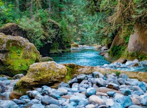
Hike Franklin Ghost Town
Visited here in August and the water was possibly the coldest I've ever swam in. A great half-day trip as the hikes are easy and the spots are quick to get to. The falls are located just to side of the road with a couple of different places to park. There's a $5 or $10 entrance/parking fee. A gre...Read more -
Enumclaw, Washington
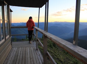
Hike to Kelly Butte
3.4 mi / 1100 ft gainAfter a rough drive to the trailhead you’ll have little time to catch your breath as the trail laces up the mountain side, but with Rainier to distract you, it won’t be long until you’re at the top with a view that is more than enough reward for your efforts. Pay very close attention to the drivi...Read more -
Skamania County, Washington
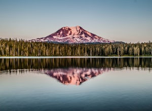
Camp at Takhlakh Lake
5.0Takhlakh Lake is located 7 miles NW of Mt Adams with a 53 site campground on the west side of the lake as well as a day use picnic area.The campground features a boat ramp and a wheelchair-accessible 1.1 mile flat trail, which encircles the lake, and accesses the Meadows Trail that climbs up to t...Read more -
Ravensdale, Washington
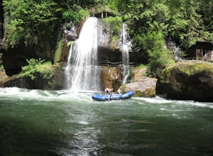
Whitewater Raft the Green River Gorge
5.0The Green River Gorge is one of the best whitewater options within an hour of the Seattle area. This beautiful scenic rocky gorge offers 14 miles of class III-IV whitewater and lots of great play spots for rafters and kayakers. This section of river is often boated in the late fall, winter, and s...Read more -
Yakima, Washington
Surprise Lake via South Fork Tieton Trail
13 mi / 1549 ft gainGetting There Take Road 1000 to start your hike at Conrad Meadows, which is also where you will park your car, be sure to leave your Northwest Forest Pass properly displayed on the dash of your car before you leave. Surprise Lake trailhead is one of the very few trailheads that starts out on th...Read more -
Skamania County, Washington
Hike to Adams Glacier Meadows
7.5 mi / 1800 ft gainFor the most of the hike, the mountain is hidden behind the firs that surround the hiker as they gain elevation. Because of the dense forest the trail is remains in for most of the hike, it is nicely shaded and pleasant to wander through. At about 2 miles in, the trail leads the hiker into variou...Read more -
Cougar, Washington
Hike the Lava Canyon
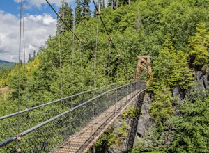
3.06.5 miStarting at the Lava Canyon Trailhead, you will walk on a paved trail down a few switchbacks until you reach the river, where you can go right or left. Either way takes you to the suspension bridge, but I recommend going right if you are following this guide. It will make more sense in a moment.A...Read more -
Skamania County, Washington
Hike to Lewis River Falls
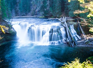
4.3Distance: 5.4 milesElevation Change: 500ftThis Lewis River hike starts at Lower Falls then follows the Lewis River Trail #31, detours up to Copper Creek, before returning back to the main trail for the magnificent Upper Falls. Enticing views of the crystalline water in the Lewis River will make y...Read more -
Cougar, Washington
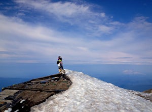
Mount St. Helens Summit via Monitor Ridge
4.48.64 mi / 4652 ft gainMonitor Ridge is the "easiest" of the routes one can take in order to claim that they have stood on top of the sleeping giant better known as Mount St. Helens. This route is heavily favored over Worm Flows as the starting elevation is not only an additional 1,000 feet higher but the overall asce...Read more -
Cougar, Washington
Loowit Trail Loop
4.032.46 mi / 7014 ft gainThis is a very difficult hike. Camp sites are scarce and access to water is very limited. Overexposure is a concern so be sure to pack a hat and apply sunscreen frequently. There are sketchy sections of the trail where you will be forced to navigate steep washed out gullies that are unstable due ...Read more -
Cougar, Washington
Mount St. Helens Summit via Worm Flows
4.810.53 mi / 5725 ft gainThe Worm Flow Route, starting at Marble Mountain Sno Park, is the most direct winter route up to the summit. You'll start at around 2,700 feet and begin a steady walk along the trail for 2 miles. Although the trail is fairly well marked well above the snow, you'll want to pay attention to the arr...Read more -
Gig Harbor, Washington
Run through Point Defiance Park
5.04.3 miPoint Defiance Park is the largest urban park in Pierce County and it provides a variety of amenities. Located at the very northwest tip of Tacoma, the park provides residents with a much needed retreat from the bustle of everyday life. Point Defiance Park is the place to go if you need a quick d...Read more -
Cougar, Washington
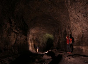
Explore the Ape Caves
4.0As if erupting volcanoes weren't awesome enough, ancient lava flows also left behind these giant, hollow tubes as they cooled. Spend all day exploring deep underground in this 2.5 mile cave.To get there, head to the SOUTH side of Mount Saint Helens. You must pass through the town of Cougar to get...Read more -
Skamania County, Washington
Hike to the Summit of Mount Adams via South Climb
5.012 mi / 6700 ft gainStart by checking in at the Trout Lake Ranger station to pick up a Cascade Volcanoes pass for $10-$15. Continue the South Climb trailhead at the Cloud Cap Campground. Some hikers overnight here for an early start the next day.Sign out a wilderness permit at the trailhead and follow the South Clim...Read more -
North Bend, Washington
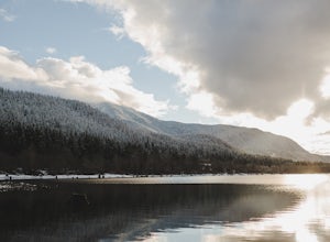
Rattlesnake Lake
5.0Being only a 10 minute drive off the 90, this Lake is often overlooked by the popular Rattlesnake Ledge hike right above. Take exit 32 from the 90E onto 436th SE Ave and continue onto Cedar Falls Rd SE and continue for about 3 miles. At this point, a parking lot will be on your right that is both...Read more -
North Bend, Washington
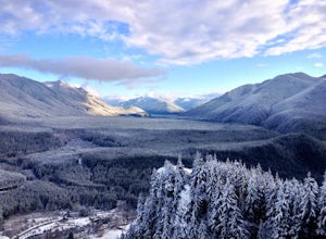
Snowy Hike to Rattlesnake Ledge
4.54 mi / 1160 ft gainThe trail to Rattlesnake Ledge is one of the busiest in Washington. Usually, a Saturday or Sunday is a no go for a lot of avid hikers due to the crowds. Adding a little snow and cold diminishes the crowds nicely. While it is no secret, this hike is popular for a reason. The 2 miles it takes t...Read more

