Ariel, Washington
Looking for the best hiking in Ariel? We've got you covered with the top trails, trips, hiking, backpacking, camping and more around Ariel. The detailed guides, photos, and reviews are all submitted by the Outbound community.
Top Hiking Spots in and near Ariel
-
Cougar, Washington
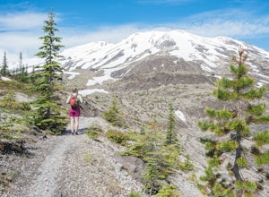
Hike to Ape Canyon
9.6 mi / 1650 ft gainNot to be confused with the ever so popular Ape Caves, the Ape Canyon is a moderately challenging hike that remains above ground, climbing a total of 1650 feet in elevation parallel to the Muddy River. Although originally designed as a hiking trail, this route has become increasingly popular wit...Read more -
Cougar, Washington
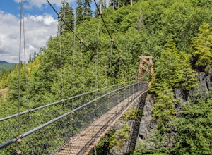
Hike the Lava Canyon
3.06.5 miStarting at the Lava Canyon Trailhead, you will walk on a paved trail down a few switchbacks until you reach the river, where you can go right or left. Either way takes you to the suspension bridge, but I recommend going right if you are following this guide. It will make more sense in a moment.A...Read more -
Toutle, Washington
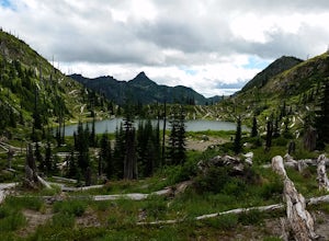
Backpack to Snow Lake by Mt. Whittier
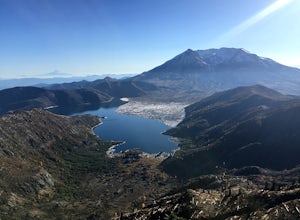
5.016 mi / 2700 ft gainThe Coldwater Lake Recreation Area has restrooms, telephones, and a picnic area. Make sure you have already acquired your permits for camping in the Mt. Margaret back country.Follow trail #211, which runs along the entire 4.5 mile length of Coldwater Lake. It is a beautiful and fairly flat hike w...Read more -
Toutle, Washington
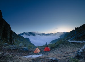
Mount Margaret's Ridge Camp via Coldwater Trailhead
3.57.12 mi / 1634 ft gainThe hike is relatively easy. I'd say intermediate due to the incline at the beginning. Also intermediate due to it being an backpacking camp adventure. A friend of mine and I backpacked in to shoot the sunset and sunrise. We went a little early in the season so it was also to scout for future ad...Read more -
Toutle, Washington
Hike to the Summit of Coldwater Peak
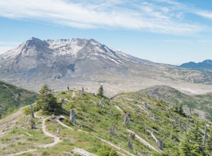
12.2 mi / 2000 ft gainWhile thousands of visitors come to witness the raw power and devastation left behind from Mount St Helens' famous 1980 eruption, few wander past the groomed paths surrounding the Johnston Ridge Observatory. It is beyond these paths where you come across the more commonly designed backcountry tra...Read more -
Toutle, Washington
Hike to Coldwater Peak via Boundary Trail
5.014.8 mi / 2700 ft gainThe Boundary trail is amazing. It's 54 miles long and runs for the most part along a ridge in Gifford Pinchot National Forest. You can climb various peaks and viewpoints right off the trail, but this trip report is for climbing Coldwater Peak and hiking up to Harry's Ridge Viewpoint on the way. H...Read more -
Portland, Oregon
Run the Saltzman Road Trail
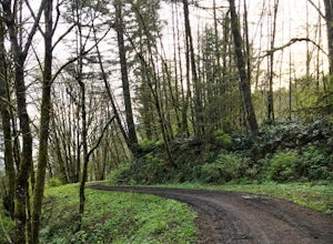
4.56 mi / 700 ft gainThis trail is an easy out and back from either the west or east side of Forest Park. The east trailhead is off NW Skyline Blvd, on Saltzman Road, which is a dirt/gravel road like the trail. You'll park near the gates where there aren't No Parking signs up (the land around the trail at this point ...Read more -
Portland, Oregon
Hiking the Ridge Trail in Forest Park
4.22.75 miThis is a great option for a quick hike when you don't have time to get out of the city but need to satisfy your craving to get outside and escape the noise of bustling Portland. Follow Firelane 7 from the Springville Trailhead up towards Leif Erickson Drive and the Ridge Trail. There are signs a...Read more -
Clatskanie, Oregon
Beaver Falls Trail
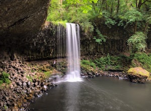
3.00.58 mi / 0 ft gain…Beaver Falls is one of those spots where if you’re looking to avoid the crowd of the Columbia River Gorge, this is another good alternative on where you could go. Not only is that a huge plus, but it’s not often you get to experience a scenic waterfall that you don’t have to put in a ton of effo...Read more -
Stevenson, Washington
Three Corner Rock
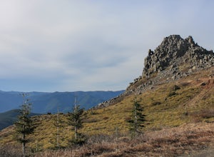
4.03.86 mi / 1093 ft gainFrom the Rock Creek Pass Trailhead, begin the short hike to Three Corner Rock by heading south on the Pacific Crest Trail from its crossing of Road CG 2090. After a steady 1.5-mile climb of roughly 600 feet, look for a large fallen sign marking the junction to Three Corner Rock. Shortly after, an...Read more -
Portland, Oregon
Lower Macleay Park to Pittock Mansion
3.04.7 mi / 965 ft gainLower Macleay Park is one of most easily accessible trailheads in the city, especially during one of Portland’s rare snow years where even driving up to 500 feet of elevation can challenge your car. You can park within the park entrance cul-de-sac, around the intersection of Upshur St. & NW 2...Read more -
Portland, Oregon
Mount Tabor Loop
4.51.88 mi / 325 ft gainMount Tabor City Park is located in the heart of southeast Portland and is situated atop an extinct volcano. It’s comprised of more than 190 acres of beautiful Douglas Fir forest and features several relatively easy routes to the top: the easiest being the road you can drive (but what’s the fun i...Read more -
Carson, Washington
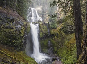
Falls Creek Falls
4.85.82 mi / 1512 ft gainThe trail to Falls Creek Falls is well maintained with a few short moderately steep areas. The trail hugs the creek for the first mile, and takes you through old growth trees for the second mile. Once the falls are in sight, make sure to stop and look up to see the top tier through the trees. It'...Read more -
Portland, Oregon
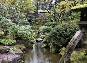
Portland Japanese Garden
4.02 mi / 50 ft gainWhile the Portland Japanese Garden is a popular place for tourists, it's also a favorite for Portland residents as it's located right in Washington Park close to trails and across from the Rose Garden. The Japanese Garden also just unveiled its Cultural Crossing expansion in April 2017, which inc...Read more -
Portland, Oregon
Hoyt Arboretum
1.4 mi / 148 ft gainFounded in 1928 to conserve endangered species and educate visitors, Hoyt Arboretum is a 190-acre park in the forest above Portland's NW area. It's only 15 minutes from downtown! There are 12+ miles of trails to explore, my favorite is the Redwood Trail that takes you through towering redwoods a...Read more -
Portland, Oregon
Wildwood Trail in Washington Park
5.07.63 mi / 1503 ft gainTake the train to Washington Park and hike through Hoyt Arboretum. This will bypass a few miles of Wildwood Trail, but you won't miss much. In the arboretum, the trail twists and turns through the trees, will smaller trails jutting off to the sides, through other groups of trees (each trail is a...Read more

