Anacortes, Washington
Top Spots in and near Anacortes
-
Deming, Washington
Visit Nooksack Falls
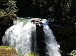
The View. Nooksack Falls is a wonder of a sight, tumbling 88 ft in two segments averaging 50 ft across. A quick stroll from the parking area brings you to the upper or "lower" view, where you can either see the top of the waterfall cascading away from you, or see the whole waterfall. The water...Read more -
Salt Spring Island, British Columbia
Hike Mount Maxwell
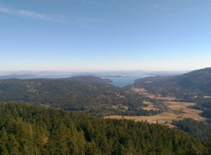
From Ganges head south on Fulford-ganes road toward Fulfrod harbour. Turn right on Dukes road then a right on Seymour Heights. Seymour Heights turns into a dirt road, with a number of pot holes but nothing a non 4x4 car can't handle. At the trail head there is a small turn around and not a ton of...Read more -
Deming, Washington
Bike to Wells Creek Falls
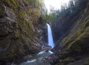
Wells Creek Falls is an incredible waterfall nestled in a tight canyon below Mt. Baker. The falls plunges 93-ft. over a volcanic cliff face and envelops the small amphitheater below in a cloud of mist. From there, Wells Creeks snakes through the canyon and enters Bar Creek on the opposite side of...Read more -
Delta, British Columbia
Hiking through Burns Bog Delta Nature Reserve
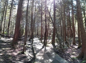
1.9 miAs you begin your journey into Burns Bog Delta Nature Reserve from the parking lot and small trail coming off of Westview Drive, notice the gravel trail ahead of you and across the train tracks that will take you into the bog itself and take a left. After spending a few minutes on the straight tr...Read more -
Skagit County, Washington
Sauk Mountain Summit 5,541'
4.34 mi / 1200 ft gainEven from the Trailhead, the views overlooking the Skagit River valley, all the way out toward Mount Vernon, are outstanding. The trail follows 20 tight switchbacks as it makes it's way 600 feet up to the southern crest of the summit ridge. This is a steep slope and it's possible to look straight...Read more -
Port Angeles, Washington
Run Ediz Hook "The Spit"
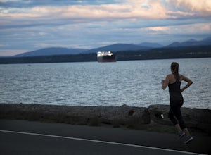
4.73 mi / 0 ft gainEdiz Hook or as locals call it, "the Spit" is a 3 mile long sand spit that extends out from Port Angeles along the Juan De Fuca. The views of the surrounding mountains and Vancouver Island, the marine life, beaches, and picnic areas make this a prime spot for a memorable run. We parked at the lo...Read more -
Salt Spring Island, British Columbia
Kayak Ganges Harbour
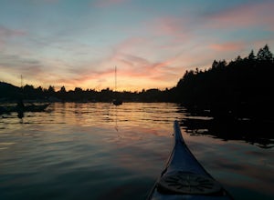
5.0Salt spring island has plenty of amazing put in points for an afternoon of sea kayaking, but the ganges harbour is sheltered and easily accessible.For the put in points you have two options: The salt spring marina or churchill beach. Churchill beach would be the easier of the two with the added b...Read more -
Concrete, Washington
Anderson and Watson Lake
5.68 mi / 1165 ft gainThe drive up to the starting point of the trail to Anderson and Watson Lake was easy, but at the end it gets a little tricky - the service road is sharp gravel and runs for about 10 miles to the trailhead. Some spots are steep and there are large potholes, but slow and steady wins the race. There...Read more -
Port Angeles, Washington
Peabody Creek Trail
5.05.1 mi / 948 ft gainPeabody Creek Trail is an out-and-back trail that takes you by a river located near Port Angeles, Washington.Read more -
Edmonds, Washington
Hike to Meadowdale Beach
5.0If you plan to hike to this beach on the weekend, arrive early because the parking lot fills up fast. From the trailhead, hike down through an old forest along a stream to reach Meadowdale Beach Park. Take in the sounds of birds, wildlife, and the stream adjacent to the trail. At one mile you wil...Read more -
Granite Falls, Washington
Mount Pilchuck Lookout
4.85.22 mi / 2113 ft gainHike the well-maintained Mount Pilchuck Lookout trail through a variety of terrain: old-growth forest and granite boulder fields. At the top, you'll reach a lookout tower perched on Mount Pilchuck. Pilchuck sits on the western edge of the Cascades, which offers up amazing panoramic views once you...Read more -
Deming, Washington
Hike to Table Mountain via Artist Point
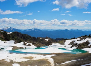
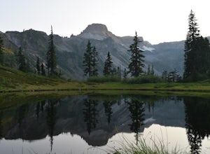
5.03 mi / 560 ft gainThe hike takes off from the Artist Point parking lot at an elevation of 5,220 feett.The trail slowly meanders up for a while until reaching the final steep switchbacks where you'll have a sheer cliff to your side—don't let it distract you, and keep focused on the trail in front of you!Once you've...Read more -
Deming, Washington
Hike Ptarmigan Ridge in the North Cascades
5.09 mi / 1350 ft gainDirections are from Bellingham. Drive Sr 542(Mt Baker Highway) approximately 60 miles to the parking area at Artist Point, elev. 5140 ft. Try to park towards the southwest corner of the lot as this is where our trail begins. Toilets are available.The trail starts from the southwest corner of t...Read more -
Deming, Washington
Explore Artist Point
5.0Note that Artist Point is only accessible by car during the summer - it is closed off from cars as of First Snowfall (end of September) through June.The parking lot of Artist Point is only about an hour and fifteen minute drive from the city of Bellingham, WA. The beautiful and peaceful road that...Read more -
Deming, Washington
Snowshoe to Artist Point
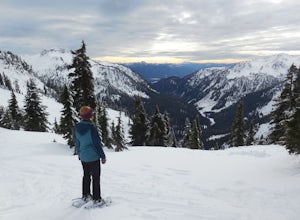
5.05.5 mi / 1200 ft gainFrom the south end of the ski area, snowshoe past an old ski lodge along an old access road parallel to the ski hill. Then, ascend Austin Pass (2 miles) following the broad switchbacks. Once at the top of the ridge, follow the road to the left 1/4 mile and take in the views of Artist Point, Mou...Read more -
Deming, Washington
Stargazing at Artist Point
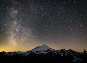
A couple things must coincide for you to have a great time watching the milky way at Artist Point. The road up to Artist is only open during the summer and early Autumn months but it's always good to check on the Washington State Department of Transportation website to see current road conditions...Read more

