Anacortes, Washington
Looking for the best backpacking in Anacortes? We've got you covered with the top trails, trips, hiking, backpacking, camping and more around Anacortes. The detailed guides, photos, and reviews are all submitted by the Outbound community.
Top Backpacking Spots in and near Anacortes
-
Bow, Washington
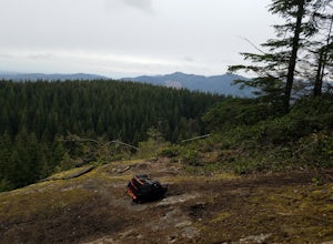
North Butte via Chuckanut Trail
1.07.71 mi / 2047 ft gainThe HikeThe hike there isn't short, has several steep sections, and ends at the top of the mountain. There are cliff warnings at the top, so be careful as you explore the view! The steepest portions are at the beginning and right at the end. The trail is very well maintained (because it is so pop...Read more -
Bellingham, Washington
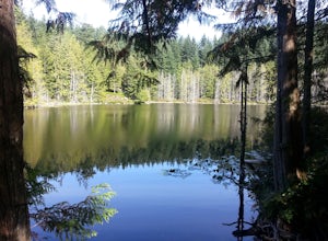
Hike to Pine & Cedar Lakes
5.05 mi / 1400 ft gainThese two quaint lakes in the Chuckanuts are a must-do for people looking for a day hike, short camping trip or steep trail run in the Bellingham area. Starting at the trailhead off of Old Samish Road, one begins the 2 mile ascent to the two lakes. The first 1,400ft climb has its fair share of up...Read more -
Concrete, Washington
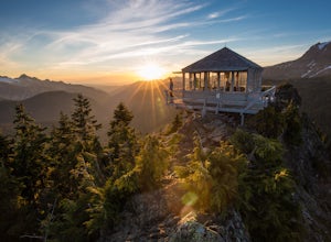
Park Butte Lookout
4.57.64 mi / 2100 ft gainThis place is really the stuff of fairy tales. Where else can you find a tiny cabin with 360-degree views of stunning mountain scenery? To the west, you can see all the way to Bellingham and the Puget Sound. To the south and east lie the jagged North Cascades. And the entire northern horizon is ...Read more -
Concrete, Washington
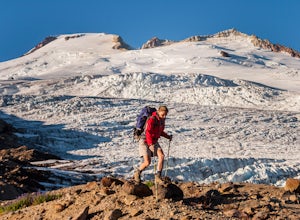
Backpack the Easton Glacier Railroad Grade
10 mi / 3000 ft gainBegin at the Park Butte trailhead, trail 603. Hike past the first Scott Paul trail sign a few hundred feet from the trailhead. Continue on and cross appropriately name Rocky Creek heading up on the Park Butte Trail. Continue up the Park Butte trail passing the Scott Paul trail again at about 4,50...Read more -
Concrete, Washington
Climb Mt. Baker via Squak Glacier
10 mi / 7500 ft gainNOTE: THIS ROUTE REQUIRES GLACIER TRAVEL SKILLSMt Baker, or Kulshan, is a remarkable mountain in northwest Washington. Whether you're in Anacortes, Bellingham, Vancouver or on the San Juan Islands you can see Mt Baker standing as a citadel over the Northwest. Unlike the more popular routes like t...Read more -
Concrete, Washington
Dock Butte
4.53.92 mi / 1388 ft gainDock Butte is an easy hike offering truly spectacular 360 degree views of the Mt. Baker region. In summer this summit can be done as an easy walk up. It is especially good during the late summer for hikers and introducing someone into hiking. From the parking lot the trail goes through forest wi...Read more -
Deming, Washington
Hike Skyline Divide
5.09 mi / 2500 ft gainIf driving 13 miles on a forest road, and hiking miles of switchbacks doesn't bother you, your in for one of the most exquisite views that you can get from hiking in Washington state.Just a mile outside of the town of Glacier, turn onto Forest Road 37 and follow it up switchbacks for the majority...Read more -
Arlington, Washington
Three Fingers Lookout
4.514.31 mi / 4357 ft gainApproximately 11 miles east of Granite Falls, WA, on the Mt. Loop Highway, turn onto Forest Service road 41 and follow this road for 18.0 miles to the trailhead. The road is quite rough and it is recommended you have a four-wheel drive vehicle. There is a washout about halfway along the road, an...Read more -
Concrete, Washington
Anderson and Watson Lake
5.68 mi / 1165 ft gainThe drive up to the starting point of the trail to Anderson and Watson Lake was easy, but at the end it gets a little tricky - the service road is sharp gravel and runs for about 10 miles to the trailhead. Some spots are steep and there are large potholes, but slow and steady wins the race. There...Read more -
Granite Falls, Washington
Mount Pilchuck Lookout
4.85.22 mi / 2113 ft gainHike the well-maintained Mount Pilchuck Lookout trail through a variety of terrain: old-growth forest and granite boulder fields. At the top, you'll reach a lookout tower perched on Mount Pilchuck. Pilchuck sits on the western edge of the Cascades, which offers up amazing panoramic views once you...Read more -
Deming, Washington
Hike to Table Mountain via Artist Point
5.03 mi / 560 ft gainThe hike takes off from the Artist Point parking lot at an elevation of 5,220 feett.The trail slowly meanders up for a while until reaching the final steep switchbacks where you'll have a sheer cliff to your side—don't let it distract you, and keep focused on the trail in front of you!Once you've...Read more -
Deming, Washington
Hiking the Kulshan Ridge
This hike starts out at Artist Point, where already you can see jaw-dropping scenery of Mt. Shuksan, Baker, Coleman, and many other peaks of the North Cascades. No matter what time of year you visit, you are bound to get unbelievable views and photos.Artist Point is the furthest destination along...Read more -
Deming, Washington
Lake Ann and Lower Curtiss Glacier
5.011.67 mi / 3241 ft gainThe trail begins just below Artist Point and is well marked from a paved parking lot. Make sure to have a Northwest Forest Pass for your vehicle. Start your hike by descending on switchbacks through sub-alpine forest. It's a nice start, but remember, that means an uphill hike out. After entering...Read more -
Deming, Washington
Climb Mt. Shuksan via The Fisher Chimneys
Out of all of the ruggedly beautiful, non-volcanic mountains in the Pacific Northwest, Mt. Shuksan is the center piece. Rising to a height of 9,131 feet, Mt. Shuksan is one of the most photographed mountains in the world with its jagged ridges, hanging glaciers, steep rocky faces and ease of acce...Read more -
Deming, Washington
Winter Backpack in the Mt. Baker Backcountry
6 mi / 1500 ft gainArrive at the upper ski resort parking lot (approx. 4300 feet elev.) and snowshoe, skin, or split board up. Make your way toward Artist Point and eventually Huntoon Point, gaining approximately 1500 feet of elevation over approximately 3 miles (one way). Past Huntoon Point, there are several grea...Read more -
Deming, Washington
Winter Backpack to Lake Anne Ridge
14 mi / 2000 ft gainArrive at the upper ski resort parking lot (approx. 4300 feet elev.) and snowshoe, skin, or split board up. Make your way toward Artist Point and halt at Austin Pass, gaining approximately 1200 feet of elevation over approximately 2 miles (one way). From Austin Pass, turn left (south) to take the...Read more

