Amboy, Washington
Looking for the best photography in Amboy? We've got you covered with the top trails, trips, hiking, backpacking, camping and more around Amboy. The detailed guides, photos, and reviews are all submitted by the Outbound community.
Top Photography Spots in and near Amboy
-
Cougar, Washington
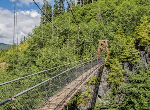
Hike the Lava Canyon
3.06.5 miStarting at the Lava Canyon Trailhead, you will walk on a paved trail down a few switchbacks until you reach the river, where you can go right or left. Either way takes you to the suspension bridge, but I recommend going right if you are following this guide. It will make more sense in a moment.A...Read more -
Carson, Washington
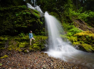
Steep Creek Falls
5.0Steep Creek Falls is located about 5 miles from the small town of Stevenson. Take Highway 14 one mile west of Stevenson to Rock Creek Drive and turn north, passing the Skamania Lodge and Resort. Turn left onto Ryan Allen Road and follow it for about a mile, then turn left onto Red Bluff Road. Fo...Read more -
Washougal, Washington
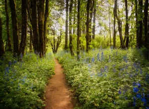
Cape Horn Trail
4.36.76 mi / 1795 ft gainThe Cape Horn Trail is great for those who are short on time, but still want to get outside for something close by with great views. Located just 35 min east of Portland, the Cape Horn Trail offers a few different possibilities for you to hike. The whole loop (lower section is closed from Feb 1s...Read more -
Portland, Oregon
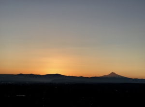
Rocky Butte
4.2Joseph Wood Hill Park is another under-the-radar gem right in the heart of the city. It’s located on Rocky Butte, an extinct volcanic cylinder cone, and provides a sweeping panoramic view of Portland and beyond. Accessing the park is easy – you can drive directly there and parking is plentiful. ...Read more -
Skamania County, Washington
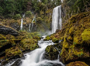
McClellan Falls
1.00.7 mi / 200 ft gainThe trail begins at the parking for McClellan Overlook. Head out of the parking area and cross over the highway before heading onto a faint, unmarked trail. You may have to do a little routefinding, so it's best to download this map before heading out so you can make sure you stay on path. This...Read more -
Portland, Oregon
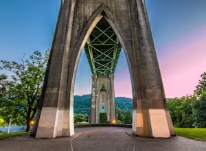
Explore Cathedral Park
4.5Located right underneath the St Johns Bridge, Cathedral Park is hard to miss. It was given its name due to the Gothic looking arches that sit above the park.This is one of my personal favorite places to photograph especially if you enjoy photographing bridges. This park can be crowded or have eve...Read more -
Portland, Oregon
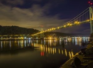
Photograph the St. John's Bridge
4.5To begin, park on North Pittsburg Ave and walk down to the river. Then, turn left and walk down the short less than a quarter mile until you see a spot where the beach is bigger than in other areas. This is an extremely good place to take photographs of the bridge, especially at night. Feel free ...Read more -
Toutle, Washington
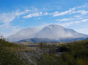
Hike the Hummocks Trail
2.4 mi / 0 ft gainThe trail has a number of ups and downs as you pass the many ponds and ash/rock/mud hills (hummocks) on your way towards the North Fork Toutle River. There is abundant wildlife in the area including birds, beaver and elk.This is also a great place to park and extend your day of hiking on the Boun...Read more -
Corbett, Oregon
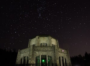
Night Sky Shooting at Vista House
3.0The Vista House located in the Columbia River Gorge offers those looking to photograph the night sky without traveling long distance from Portland the opportunity to do so. Vista House is just far enough away from Portland's light pollution to allow you to capture enough stars on a clear night.T...Read more -
Toutle, Washington
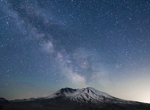
Loowit Viewpoint
5.0From roughly May to September, both star gazers and photographers alike travel to the darkest locations in order to capture something truly magnificent- the galactic core of the milky way. The Loowit Viewpoint is unlike any around due to the perfect combination of it's remote location, higher ele...Read more -
Toutle, Washington
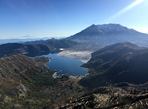
Hike to Coldwater Peak via Boundary Trail
5.014.8 mi / 2700 ft gainThe Boundary trail is amazing. It's 54 miles long and runs for the most part along a ridge in Gifford Pinchot National Forest. You can climb various peaks and viewpoints right off the trail, but this trip report is for climbing Coldwater Peak and hiking up to Harry's Ridge Viewpoint on the way. H...Read more -
Toutle, Washington
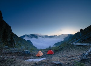
Mount Margaret's Ridge Camp via Coldwater Trailhead
3.57.12 mi / 1634 ft gainThe hike is relatively easy. I'd say intermediate due to the incline at the beginning. Also intermediate due to it being an backpacking camp adventure. A friend of mine and I backpacked in to shoot the sunset and sunrise. We went a little early in the season so it was also to scout for future ad...Read more -
Toutle, Washington
Backpack to Snow Lake by Mt. Whittier
5.016 mi / 2700 ft gainThe Coldwater Lake Recreation Area has restrooms, telephones, and a picnic area. Make sure you have already acquired your permits for camping in the Mt. Margaret back country.Follow trail #211, which runs along the entire 4.5 mile length of Coldwater Lake. It is a beautiful and fairly flat hike w...Read more -
Corbett, Oregon
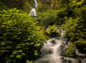
Wahkeena Falls
4.00.48 mi / 427 ft gainThis Waterfall is located along the Colombia River Gorge and is surrounded by many other, much more trafficked waterfalls so it gets a lot fewer visitors. This is a beautiful spot to relax at, take photos, and get away from some of the crowds. The bottom of the falls end right at the parking lot ...Read more -
Corbett, Oregon
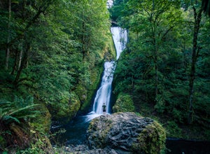
Bridal Veil Falls
4.10.54 mi / 144 ft gainThe trailhead for this short hike is right off of the Columbia River Highway just west of Multnomah Falls. You can't miss the parking lot for it; there is a sign for Bridal Veil and the parking lot is visible from the road. The hike is only 0.6 miles and has hardly any elevation gain (70 feet). ...Read more -
Corbett, Oregon
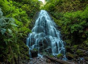
Fairy Falls
4.82.02 mi / 1293 ft gainFairy Falls sits in the heart of the Columbia River Gorge, not much more than a mile from the Wahkeena Trailhead. The parking lot is right off the Old Columbia River Highway and will be packed with cars in the summer. Head up the trail towards Wahkeena Falls, which is not far up the hill. This f...Read more

