Woodstock, Virginia
Looking for the best photography in Woodstock? We've got you covered with the top trails, trips, hiking, backpacking, camping and more around Woodstock. The detailed guides, photos, and reviews are all submitted by the Outbound community.
Top Photography Spots in and near Woodstock
-
Elkton, Virginia
Photograph The Point Overlook
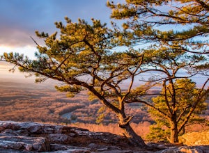
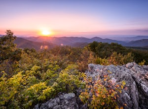
4.0The Point is the best overlook off of Skyline Drive to watch the sun set behind the Blue Ridge Mountains. The Point Overlook is one of 72 overlooks for people to enjoy the beauty of Shenandoah National Park as they drive along Skyline Drive. Skyline Drive is the road that winds through the hear...Read more -
Elkton, Virginia
Bearfence Mountain Loop
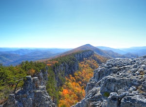
4.81.04 mi / 220 ft gainThis is one of my favorite hikes in Shenandoah National Park for its views, easy access to the trail, and the option to combine it with a much further hike on the AT. There is also a really fun little rock scramble at the top that scares a lot of people away, but makes for a more secluded summit,...Read more -
Marshall, Virginia
Hike to the Piedmont Overlook
5.00.61 mi / 400 ft gainIn just a .61 mile trail, Piedmont Overlook has so much to offer in terms of views and although it is fairly steep, anyone can do it! After arriving at Sky Meadows State Park start heading up to the white park office building, this is where the trail begins. To get to the trail head follow Bosto...Read more -
Madison, Virginia
Fly Fish on the Rapidan River
5.05 miPark at the Graves Mill Parking Area. From here you can easily follow the Rapidan River up the mountain. Fishing reports inform that the lowest concentration of brookies are at the lower boundaries of the park so take some time to enjoy the trail and hike up stream. At the lower boundaries you mi...Read more -
Bluemont, Virginia
Hike to Hollow Brook Falls
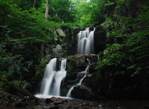
4.32 mi / 300 ft gainThis hike will start on the Appalachian Trail and will take you to a beautiful set of falls. When you arrive at the location you will see numerous spots along the side of the road to park. You'll need to look for the white blaze for the Appalachian Trail (it will head up from the parking area). ...Read more -
Stanardsville, Virginia
Hike South River Falls
4.54.4 miThe trail head for the South River Falls Trail is located at mile marker 63 off of Skyline Drive via the South River Picnic Area. Loop around the picnic area until you reach the Eastern corner where you will find a sign and a map marking the beginning of the 4.2-mile trail. Over the first mile...Read more -
Cool Spring Path South Parking, Virginia
Hike Cool Spring Path
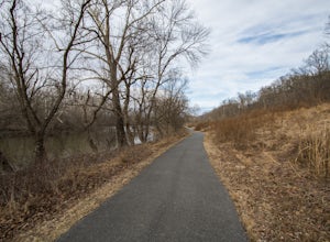
4.02 mi / 70 ft gainThe Cool Spring Path South is an old golf course that has been and still is in the process of being returned to its natural state by Shenandoah University. The paved paths from the golf course make this an easy hike for anyone. For those who may be in a wheelchair, this loop should be fully acces...Read more -
Bluemont, Virginia
Hike to Raven Rock
4.35 mi / 1000 ft gainStarting at a small parking lot right off of Route 7 (wuick right onto Pine Grove Road) this hike takes you North on the Appalachian Trail in a very hilly/rocky part of the trail. Expect to gain and lose 300 feet+ multiple times! It's about 2.5 miles each way so budget at least a few hours to go ...Read more -
Bluemont, Virginia
Hike to Bears Den Overlook
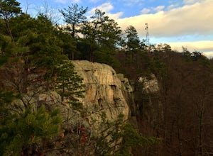
4.41.31 mi / 164 ft gainBears Den is a collection of rocks and boulders that overlooks the Shenandoah Valley in northern Virginia, just off the Appalachian Trail. You have two options to access this overlook: park at the bottom of the mountain and hike up to the overlook via the trail, or drive to the top and access the...Read more -
Cabins, West Virginia
Backpack the North Fork Mountain Trail & Chimney Top
5.024.7 miOne of my favorite hikes in West Virginia, since the whole ridge is full of views. Backpacking the North Fork Mountain Trail is about 24.7 miles in total and a challenging hike but with relentless views. In my opinion, the best West Virginia has to offer. Summertime backpacking the whole the NFM...Read more -
Hinton, Virginia
Camp at Switzer Lake
3.92 miDirectly off of Interstate 81, headed toward West Virginia on Rt 33 is a beautiful lake only known by the locals. Switzer Lake, named because Switzer Dam was placed on the Dry River years ago to aid Harrisonburg and the surrounding area with its increased need for drinking water. The lake is seld...Read more -
Free Union, Virginia
Photograph Brown Mountain Overlook
At mile post 77 off of Skyline Drive, Brown Mountain Overlook offers photographers a western view of the Blue Ridge Mountains, Shenandoah National Park, and the Shenandoah Valley. At 2,840 feet, Brown Mountain Overlook is one of 72 beautiful overlooks that are on Skyline Drive located in the nort...Read more -
Free Union, Virginia
Hike Frazier Discovery Trail
5.01.3 mi / 950 ft gainThere are two ways to the summit: the first is a 1.3 mile loop that starts at the Loft Mountain Wayside parking lot at mile marker 79.5 off of Skyline Drive in the southern district of Shenandoah National Park. The second way is a 3.7 mile hike out and back from the Loft Mountain Campground, but...Read more -
Crozet, Virginia
Hike to Doyles Falls
4.93.2 mi / 1190 ft gainFrom the parking lot at MP 81.1 on the Skyline Drive, take the trailhead to the left of the sign with the trail map. Immediately you'll cross over the Appalachian Trail-stay straight on the blue-blazed trail to Doyles Falls. The trail will descend rapidly for 1.3 miles to Upper Doyles Falls (28' ...Read more -
Maysville, West Virginia
Lions Head Loop
5.020.35 mi / 2195 ft gainWhat used to be an artillery testing site during WWII, Dolly Sods is a great place for backpackers of almost any expertise. Water is easily found throughout the wilderness area and while 21 miles might feel like a lot, it is very manageable over the course of 3 days. Attached (at the bottom) is...Read more -
Davis, West Virginia
Photograph Bear Rocks Preserve
5.0The Bear Rocks Preserve is a 477 acre land tract maintained and supported by The Nature Conservancy. Offering a diverse range of plant species more commonly seen in the Northeast, visitors will find blueberries, huckleberries, mountain laurel, azalea, and rhododendron among the sandstone outcrop...Read more

