Rockbridge Baths, Virginia
Looking for the best photography in Rockbridge Baths? We've got you covered with the top trails, trips, hiking, backpacking, camping and more around Rockbridge Baths. The detailed guides, photos, and reviews are all submitted by the Outbound community.
Top Photography Spots in and near Rockbridge Baths
-
Appalachian Trail, Virginia
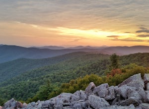
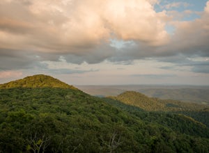
Blackrock Summit, Shenandoah NP
4.71.11 mi / 253 ft gainThere are two route options, both are under 2 miles and are suitable for hikers of all experience levels. The shortest option, a 1-mile circuit, follows the Appalachian Trail from the Blackrock Summit parking area, which is just north of mile marker 85 on Skyline Drive. With only 175-feet of ele...Read more -
Charlottesville, Virginia
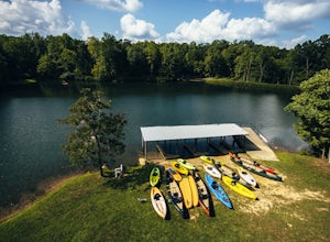
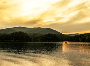
Kayak Beaver Creek Lake
4.3This little lake close to Charlottesville is my favorite place for an after work kayak, SUP, or just picnic by the water. It's a 20min drive from town, and the perfect place to watch the sunset over the Blue Ridge with water views. No gasoline powered motors allowed, but anything else you can g...Read more -
Rustburg, Virginia
Explore the Hydaway Outdoor Recreation Center
4.3If you love everything outdoors, the Hydaway Outdoor Recreation Center is the place for you! You can do almost any activity you can think of here. If you aren't affiliated with Liberty University, you can't rent their equipment, but you can bring you own to use. The main attraction is the lake wh...Read more -
Blue Ridge, Virginia
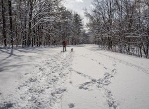
Snowshoe the Blue Ridge Parkway
3.3We don't get a ton of snow here in Virginia, but when we do, the Blue Ridge Parkway can be a great place to get out and enjoy a day of snowshoeing or cross country skiing. It's also a great opportunity to get your pup out and let him work out some energy as the chances of running into anyone are ...Read more -
Crozet, Virginia
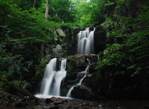
Hike to Doyles Falls
4.93.2 mi / 1190 ft gainFrom the parking lot at MP 81.1 on the Skyline Drive, take the trailhead to the left of the sign with the trail map. Immediately you'll cross over the Appalachian Trail-stay straight on the blue-blazed trail to Doyles Falls. The trail will descend rapidly for 1.3 miles to Upper Doyles Falls (28' ...Read more -
Daleville, Virginia
Hay Rock
4.67.48 mi / 1276 ft gainIf you're looking for a hike in the Roanoke area without the crowds that McAfee Knob draws, but still want a challenging hike with great views, try hiking to Hay Rock. This 7.5 mile round trip hike begins at the Park and Ride just off I-81 at the US-220 Troutville/Fincastle exit (150B). The gra...Read more -
Troutville, Virginia
Tinker Cliffs via Andy Lane Trail
4.87.15 mi / 1844 ft gainLooking for a day trip? Look no further than Tinker Cliffs, tucked away in Virginia. This trail provides a workout that is loaded with flowers, bridges, rocks, and views that will leave you inspired to explore more! The Trail There are no restrooms located at the parking lot or along the trail....Read more -
Hinton, Virginia
Camp at Switzer Lake
3.92 miDirectly off of Interstate 81, headed toward West Virginia on Rt 33 is a beautiful lake only known by the locals. Switzer Lake, named because Switzer Dam was placed on the Dry River years ago to aid Harrisonburg and the surrounding area with its increased need for drinking water. The lake is seld...Read more -
Free Union, Virginia
Hike Frazier Discovery Trail
5.01.3 mi / 950 ft gainThere are two ways to the summit: the first is a 1.3 mile loop that starts at the Loft Mountain Wayside parking lot at mile marker 79.5 off of Skyline Drive in the southern district of Shenandoah National Park. The second way is a 3.7 mile hike out and back from the Loft Mountain Campground, but...Read more -
Roanoke, Virginia
Canoe or Kayak at Carvins Cove
5.0Part of the attraction to the Cove is that you can literally leave work at 5pm and be in the water paddling in plenty of time to catch the sunset. Catching a sunrise is slightly more difficult just because the boat landing doesn't open until 6:30am. However, it's still possible to paddle out and ...Read more -
Renick, West Virginia
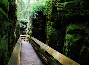
Explore Beartown State Park
4.30.6 mi / 50 ft gainFrom Rt. 219 about 7 miles south of Hillsboro, West Virginia, there are well-marked signs for Beartown State Park. This narrow road winds about a mile until the small parking area for the state park. The boardwalk trail starts to the left of the bathrooms, and it is encouraged to walk the trail...Read more -
Hillsboro, West Virginia
Hike High Rocks
5.03.1 mi / 376 ft gainTo reach High Rocks trailhead, drive about 3.3 miles along West Virginia’s Highland Scenic Highway (HW150) from Cranberry Mountain Nature Center. The parking lot and trailhead will be on the right side of the road. The High Rocks trail is 3.1 miles out and back and is fairly flat as it follows a ...Read more -
Free Union, Virginia
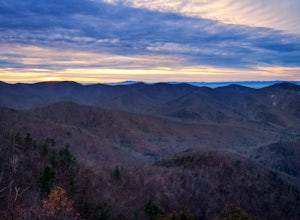
Photograph Brown Mountain Overlook
At mile post 77 off of Skyline Drive, Brown Mountain Overlook offers photographers a western view of the Blue Ridge Mountains, Shenandoah National Park, and the Shenandoah Valley. At 2,840 feet, Brown Mountain Overlook is one of 72 beautiful overlooks that are on Skyline Drive located in the nort...Read more

