Purcellville, Virginia
Looking for the best photography in Purcellville? We've got you covered with the top trails, trips, hiking, backpacking, camping and more around Purcellville. The detailed guides, photos, and reviews are all submitted by the Outbound community.
Top Photography Spots in and near Purcellville
-
Luray, Virginia
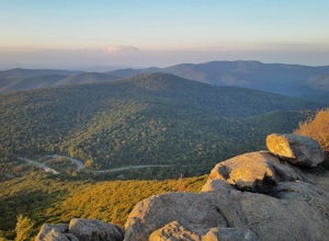
Mary's Rock via Meadow Spring Parking Area
4.62.75 mi / 640 ft gainMary’s Rock is just south of the Thornton Gap Entrance in Shenandoah National Park’s Central District. This write-up details the hike from the Meadow Spring Parking area, but there are alternate routes starting from the Panorama parking area (3.7 miles round trip), Jewell Hollow Overlook (6 mile...Read more -
Luray, Virginia
Hike to Hazel Falls in Shenandoah National Park
5.05.2 mi / 100 ft gainThe trail to Hazel Falls may not be the most "wow" trail in Shenandoah but it is well worth it to reach the beautiful gorge where Hazel River falls over big boulders. You should park at the Meadow Spring parking lot at mile 33 on Skyline Drive. You will see the trail post to the right of the par...Read more -
Wardensville, West Virginia
White Rocks Loop, George Washington NF
4.59.26 mi / 1690 ft gainThe trail begins near the upper parking area next to a closed gate. If you park in the lower parking area, you'll have to walk about .3 miles up the road to get to this gate. Start out on the forest service (FS) orange-blazed trail, following it for about a quarter mile. From there head onto Old...Read more -
Luray, Virginia
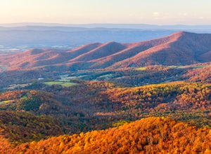
Photograph Pinnacles Overlook
5.0Pinnacles Overlook in Shenandoah National Park is a southern facing overlook in the Central District that provides one of the best views of Old Rag. Looking south over the Blue Ridge Mountains, this 3,320 foot overlook has a great view of the southern Blue Ridge Mountains as well as a valley th...Read more -
Luray, Virginia
Photograph Jewell Hollow Overlook
One of Shenandoah National Park’s 72 overlooks, Jewell Hollow is a great place for people to stop while they are traveling through the park along Skyline Drive. Skyline Drive is the road that winds through the heart of Shenandoah National Park, starting at Front Royal in the north and ending at ...Read more -
Oldtown, Maryland
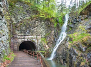
Hike to Paw Paw Tunnel
3.82.4 miThis hike is short and sweet, with it only being 2.4 miles to the other side of the tunnel and back. It's easily accessible, located right off the highway at the Paw Paw Tunnel Campground on the Potamac River at the border of Maryland and West Virgina. The town of Paw Paw is on the West Virgina s...Read more -
Laurel, Maryland
Hike the South Tract Trails at Patuxent Research Refuge
5 miFrom the visitors center, start on the Fire Road trail. From there, it's a choose-your-own adventure (choose-your-own ecosystem, actually). Pick the Laurel and Valley Trails to stay in the quiet (and maybe enchanted? It felt enchanted) forest. Goose Pond trail is a short jut to a--yup--pond, wher...Read more -
Etlan, Virginia
Old Rag Mountain Loop
4.78.95 mi / 2510 ft gainBe prepared to deal with crowds, especially on the rock scrambles, which tend to cause a bottle neck on this trail in Shenandoah National Park. I would recommend starting out early on this loop hike, around 6 or 7 am to avoid the crowds. Definitely arrive no later than 9:30am, as the parking lot ...Read more -
Etlan, Virginia
Hike to the Summit of Mt. Robertson in Shenandoah NP
9 mi / 2500 ft gainThis hike is one of the lesser known hikes in Shenandoah. While everyone else is headed to Old Rag, hikers will find themselves on a peaceful hike to the summit of Mt. Robertson. Hikers should park in the Old Rag Parking lot and make sure to pay the daily fee ($25). If you have a yearly pass, be ...Read more

