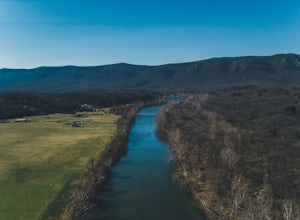
Mount Solon, Virginia
Looking for the best chillin in Mount Solon? We've got you covered with the top trails, trips, hiking, backpacking, camping and more around Mount Solon. The detailed guides, photos, and reviews are all submitted by the Outbound community.
Top Chillin Spots in and near Mount Solon
-
Meadows Lane, Virginia
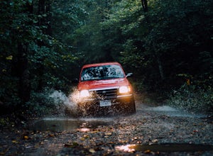
Camp near Crabtree Meadows in GWNF
5.0As stated, the campsites are free. They do not require reservations or permits and are on a first come, first served basis. Regardless of which direction you're coming from, you will be traveling on Crabtree Falls Highway until reaching Meadows Lane. This is a gravel access road that requires 4WD...Read more -
Whitmer, West Virginia
Spruce Knob Lake Loop
4.00.96 mi / 13 ft gainSpruce Knob Lake is located just below the peak of Spruce Knob at 3,840’, making it the highest lake in West Virginia. If you are not camping in the campground, there is a parking lot/boat launch located near the dam. If you are camped in the campground, there is a trail that leads from the campg...Read more -
Stanley, Virginia
Camp at Big Meadows, Shenandoah National Park
4.4Visiting Shenandoah National Park for the first time can be quite overwhelming. The 109 mile long Skyline Drive, combined with over 500 miles of hiking trails, makes camping is a necessity if you truly want to experience Shenandoah.From the Appalachian thru-hiker to the RV'er, Big Meadows is perf...Read more -
Montebello, Virginia
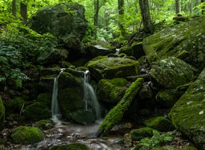
Hike to Wigwam Falls
2.7The Yankee Horse Ridge Parking Area is located at milepost 34.4 on the Blue Ridge Parkway. From the parking area, follow the rock steps to the railroad tracks and turn right. Follow the tracks the stream and turn left. Proceed on the path to the bridge in front of the 30 ft. waterfall.Read more -
Stanley, Virginia
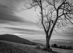
Photograph Spilter Knoll Overlook
5.0The Spitler Knoll is one of 72 overlooks for people to enjoy as they travel through Shenandoah National Park along Skyline Drive. Skyline Drive is the road that winds through the heart of Shenandoah National Park, starting at Front Royal in the north and ending at Rockfish Gap in the south. This...Read more -
North Garden, Virginia
Explore Walnut Creek Park
4.2Just 25 minutes outside of Charlottesville, this is a great spot to take the family for the day and get some sunshine. If you are into mountain biking, you're in the right place. There are 13 miles of mountain bike trails that circle the lake. At the end of your ride, there are 2 beaches to stre...Read more -
Vesuvius, Virginia
Photograph Statons Creek Falls
4.0To view this waterfall, hiking is not necessarily involved since the top of it is next to a small parking area along CR-633. If you feel like scrambling and bushwhacking, it’s possible to make your way down either side to small pools and cascades with a total drop of about 100 feet. The terrain i...Read more -
Charlottesville, Virginia
Hang Out At Riverview Park
4.5Riverview park has tons of options for getting outside around Charlottesville, VA. Part of the Rivanna Trail runs through here, so if you are really ambitious, this trail goes around the entire city. There are paved trails right along the river, so you can choose your activity. Running, biking, a...Read more -
Syria, Virginia
White Oak Canyon Cedar Run Loop
4.07.67 mi / 2257 ft gainThis route combines Cedar Run Falls and White Oak Canyon Trail (one of the more popular hikes in SNP, with separate adventures detailing those hikes). Parking is easy, but gets very crowded due to the popularity of White Oak Canyon (WOC). When starting from the parking area/Shenandoah ranger stat...Read more -
Luray, Virginia
Hike Around Lake Arrowhead Recreation Park
5.01 mi / 10 ft gainA few miles east of the town of Luray and just a couple miles outside of the Thorton Gap entrance to Shenandoah National Park sits Lake Arrowhead Recreation Park. This small lake and park features fishing, swimming, picnic areas, and other recreational park type of activities. Use of the faciliti...Read more -
Luray, Virginia
Photograph Jewell Hollow Overlook
One of Shenandoah National Park’s 72 overlooks, Jewell Hollow is a great place for people to stop while they are traveling through the park along Skyline Drive. Skyline Drive is the road that winds through the heart of Shenandoah National Park, starting at Front Royal in the north and ending at ...Read more -
Amherst, Virginia
Swim at Panther Falls
5.00.7 mi / -100 ft gainFrom Lexington or Buena Vista, Virginia, take Rt. 60 east for several miles. As soon as you pass under the Blue Ridge Parkway, look for a gravel road on your right marked Panther Falls Road. This is a fairly bumpy gravel road, so take it easy. Follow Panther Falls Road down the mountain for just ...Read more -
Wardensville, West Virginia
Camp at Wolf Gap
5.0Wolf Gap is a FREE year round campground located just outside of Woodstock, VA. It is a great base camp for several scenic hikes like the Tibbet Knob trail (trailhead is just across the road) and the popular Big Schloss trail (trailhead begins at campsite number 9) -- super convenient if you hav...Read more -
Luray, Virginia
Photograph Pinnacles Overlook
5.0Pinnacles Overlook in Shenandoah National Park is a southern facing overlook in the Central District that provides one of the best views of Old Rag. Looking south over the Blue Ridge Mountains, this 3,320 foot overlook has a great view of the southern Blue Ridge Mountains as well as a valley th...Read more -
Elkins, West Virginia
Hike to High Falls in Monongahela National Forest
5.08.2 mi / 1440 ft gainThough this beautiful hike is a serious workout, it's actually quite easy to follow. It's also listed on Google Maps - I'd highly recommend downloading the map offline just in case something happens. Starting at the trailhead (park at a pull-off along the gravel road just a few hundred feet befor...Read more -
Johnny's Road, Virginia
Camp along the South Fork Shenandoah River
3.0From Luray, follow Bixler's Ferry Road until you cross the river. The road will then T, go to the right along South Page Valley Road. Follow this road for about 6.5 miles until you pass Shenandoah River Outfitters. Shortly after this it will turn into a gravel road. Drive along the gravel road fo...Read more

