McLean, Virginia
Looking for the best running in McLean? We've got you covered with the top trails, trips, hiking, backpacking, camping and more around McLean. The detailed guides, photos, and reviews are all submitted by the Outbound community.
Top Running Spots in and near McLean
-
Knoxville, Maryland
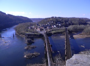
Hike to Maryland Heights
4.82.8 mi / 900 ft gainMaryland Heights is at the convergence of Maryland, West Virginia and Virginia, as well as the Potomac and Shenandoah Rivers. The Appalachian Trail and C&O Canal Towpath are also easily accessible from the trailhead parking lot. The parking lot holds about 16 cars and is between Locks 33 and ...Read more -
Knoxville, Maryland
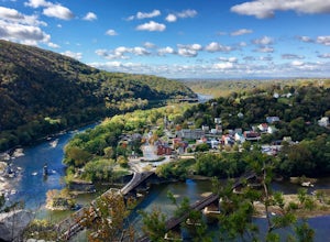
Hike Maryland Heights Trail Loop
5.3 mi / 1600 ft gainLearn Civil War history as you hike through forts and read signs about the war. Enjoy beautiful lookouts, including one with a great view of Harpers Ferry. The 5.3 mile hike is relatively easy and offers an interesting opportunity to learn history in one of the most important historical areas i...Read more -
Harpers Ferry, West Virginia
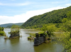
Hike Weverton Cliffs Overlook from Harpers Ferry
5.08.2 mi / 925 ft gainParking and trail head: Park at the Harpers Ferry Visitors Center for $10 (171 Shoreline Dr, Bolivar, WV 25425) and take the shuttle a mile and a half to lower town (free). Walk straight from the shuttle to the large bridge. Cross the bridge to hop on the C&O canal trail. This is the point w...Read more -
Harpers Ferry, West Virginia
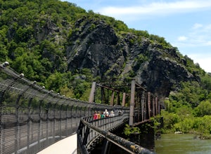
Hike Maryland Heights via Harpers Ferry
4.54.2 mi / 800 ft gainParking and trail head: Park at the Harpers Ferry Visitors Center for $10 (171 Shoreline Dr, Bolivar, WV 25425) and take the shuttle a mile and a half to lower town (free). Walk straight from the shuttle to the large bridge. Cross the bridge and take a left on the C&O Canal trail. You will s...Read more -
Boyce, Virginia
Trail Run the AT in the G.R. Thompson
7 mi / 900 ft gainTake Fire Trail Road and start your run at the parking area (labeled in the map). The trail puts you directly onto the AT, where you will turn right (southbound) to start the run (or hike). You'll stay on the AT for roughly 3.5 miles down to the Trillium Trail Parking area. At that point, turn ar...Read more -
Edgemere, Maryland
Hike the Black Marsh Trail at North Point State Park
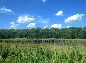
2.5 miFirst, a few disclaimers: The parking lot may be "at capacity" if you choose to visit the park in the summer. Do not despair; there is an auxiliary lot of sorts just near the gate.The park may be "full" but chances are you'll have the trails to yourself. Most people are here to hang in the design...Read more -
Stevensville, Maryland
Bike or Run the Kent Island South Trail
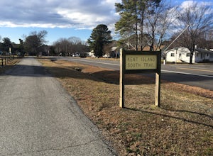
12 mi / 20 ft gainRun, bike, walk or use any other means to travel this paved route from the Romacoke Pier Park up to the Metapeake Public Beach. 6 miles one way, this path is paved the entire way and stays off the main road. Public parking at either end and beautiful views of the bay. The path winds through fo...Read more -
Cockeysville, Maryland
Hike the Oregon Ridge Park Trail
4.04.02 mi / 475 ft gainPark in the lot as indicated on the map (see below). This trail is accessible year round, dog-friendly, and is great for families.Read more

