Lexington, Virginia
Looking for the best hiking in Lexington? We've got you covered with the top trails, trips, hiking, backpacking, camping and more around Lexington. The detailed guides, photos, and reviews are all submitted by the Outbound community.
Top Hiking Spots in and near Lexington
-
Rustburg, Virginia
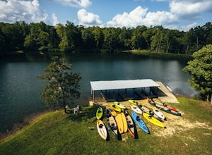
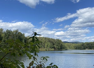
Explore the Hydaway Outdoor Recreation Center
4.3If you love everything outdoors, the Hydaway Outdoor Recreation Center is the place for you! You can do almost any activity you can think of here. If you aren't affiliated with Liberty University, you can't rent their equipment, but you can bring you own to use. The main attraction is the lake wh...Read more -
Blue Ridge, Virginia
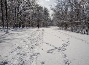
Snowshoe the Blue Ridge Parkway
3.3We don't get a ton of snow here in Virginia, but when we do, the Blue Ridge Parkway can be a great place to get out and enjoy a day of snowshoeing or cross country skiing. It's also a great opportunity to get your pup out and let him work out some energy as the chances of running into anyone are ...Read more -
Daleville, Virginia
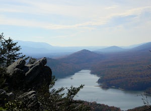
Hay Rock
4.67.48 mi / 1276 ft gainIf you're looking for a hike in the Roanoke area without the crowds that McAfee Knob draws, but still want a challenging hike with great views, try hiking to Hay Rock. This 7.5 mile round trip hike begins at the Park and Ride just off I-81 at the US-220 Troutville/Fincastle exit (150B). The gra...Read more -
Troutville, Virginia
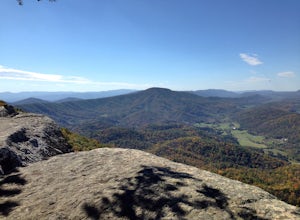
Tinker Cliffs via Andy Lane Trail
4.87.15 mi / 1844 ft gainLooking for a day trip? Look no further than Tinker Cliffs, tucked away in Virginia. This trail provides a workout that is loaded with flowers, bridges, rocks, and views that will leave you inspired to explore more! The Trail There are no restrooms located at the parking lot or along the trail....Read more -
Crozet, Virginia
Hike Turk Mountain
4.02.2 mi / 700 ft gainFrom the parking area at Turk Gap (MP 94.1), cross over the Skyline Drive. The Appalachian Trail (AT) intersects right here, and take the AT south by taking the trail on the left. After 0.2 miles you will turn right off of the AT onto the blue-blazed Turk Mountain Trail. The trail junctions me...Read more -
Roanoke, Virginia
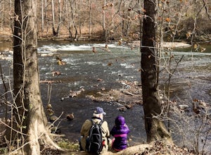
Hike along the River Walk Trail in Roanoke's Explore Park
3.01.5 miStarting at a great spot to picnic, fish, or put in a kayak, this casual hike meanders along the Roanoke River. Along the trail you can enjoy views of some small river rapids and the beautiful trees surrounding along the river.The trail begins at a parking lot at the end of Rutrough Road. There ...Read more -
Salem, Virginia
McAfee Knob
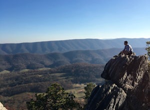
4.77.79 mi / 1296 ft gainIntro McAfee Knob is one of the most photographed and picturesque locations along the Appalachian Trail. Once you reach McAfee Knob, you'll have almost 270 degree views of the the Roanoke Valley to the East, Catawba Valley and North Mountain to the West, and Tinker Cliffs to the North. Due to t...Read more -
Crozet, Virginia
Hike Moorman's River
4.52.5 miAlong the hike, there are four "official" swimming holes to jump in, but you can make your own at any time. Go in the springtime for a great waterfall at the end the feeds into a swimming hole, and in the fall for a wonderland of foliage. The official name of this hike is Moorman's River, but an...Read more -
Crozet, Virginia
Photograph Charlottesville Reservoir
4.7The reservoir is located in the Piedmont Hills just outside the city of Charlottesville, Virginia. So technically Charlottesville Reservoir is not in Shenandoah National Park, but it is only a few feet outside of the park, and it has an outstanding view of the Blue Ridge Mountains that make up th...Read more -
North Garden, Virginia
Explore Walnut Creek Park
4.2Just 25 minutes outside of Charlottesville, this is a great spot to take the family for the day and get some sunshine. If you are into mountain biking, you're in the right place. There are 13 miles of mountain bike trails that circle the lake. At the end of your ride, there are 2 beaches to stre...Read more -
North Garden, Virginia
Wilkins Way Loop
4.33 mi / 640 ft gainWilkins Way Loop is a loop trail that takes you by a lake located near North Garden, Virginia.Read more -
Catawba, Virginia
Virginia Triple Crown
5.029.24 mi / 5531 ft gainThe Virginia Triple Crown is a combination of three of the most spectacular and popular hikes in the region. It combines the Dragon’s Tooth, McAfee’s Knob, and Tinker Cliffs hikes into one long multi-day hike along the Appalachian Trail. It makes for an excellent 2 day backpacking trip, with many...Read more -
Catawba, Virginia
Dragon's Tooth Trail
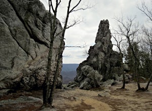
4.94.44 mi / 1394 ft gainFrom I-81: Exit 140 and take Highway 311 north for 11 miles towards New Castle. Dragon’s Tooth parking lot is on the left, just past Catawba Grocery. LAT 37.3787 LONG -80.1563 Ready to tackle the Dragon? This 4.6 mile, out and back, trail provides one with a true hiking experience. The hike wil...Read more -
Renick, West Virginia
Explore Beartown State Park
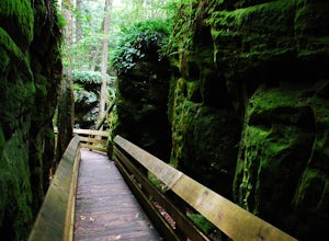
4.30.6 mi / 50 ft gainFrom Rt. 219 about 7 miles south of Hillsboro, West Virginia, there are well-marked signs for Beartown State Park. This narrow road winds about a mile until the small parking area for the state park. The boardwalk trail starts to the left of the bathrooms, and it is encouraged to walk the trail...Read more -
Dayton, Virginia
Climb Hidden Rocks
5.0Amazing rock climbing can be found just outside Harrisonburg, VA at a series of crags hiding in the beautiful landscape of GW National Forest. Hidden Rocks offers amazing climbing and bouldering for intermediate level or well-guided beginners.Near the end of Hone Quarry Road is a small, self-pay ...Read more -
Appalachian Trail, Virginia
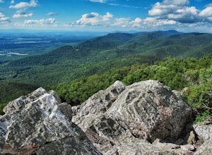
Blackrock Summit, Shenandoah NP
4.71.11 mi / 253 ft gainThere are two route options, both are under 2 miles and are suitable for hikers of all experience levels. The shortest option, a 1-mile circuit, follows the Appalachian Trail from the Blackrock Summit parking area, which is just north of mile marker 85 on Skyline Drive. With only 175-feet of ele...Read more

