Ivanhoe, Virginia
Top Spots in and near Ivanhoe
-
Ripplemead, Virginia
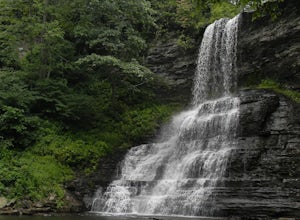
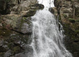
Cascade Falls
4.93.81 mi / 732 ft gainThe 66' Cascade Falls located in Giles Count is arguably one of the most beautiful waterfalls in Virginia. This classic hike is 4.0 miles and gains 800' in elevation. Located in Pembroke, Virginia, access the trail head by taking Cascade Drive (VA-623) off of US-460 and drive 3.3 miles to the p...Read more -
Newport, Virginia
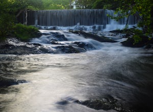
Photograph Sinking Creek Falls
5.0Park at the Clover Hollow Covered Bridge, and walk or bike 1/3 mile along Clover Hollow Rd in the direction of Blue Grass Trail Rd or to the pin dropped in the location below.When you can see the waterfall, carefully walk down the bank where you'll have perfect angles of the waterfall and surrou...Read more -
Newport, Virginia
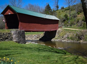
Fish Sinking Creek at Clover Hollow Queens Truss Bridge
5.0Park alongside of the road at the bridge where 2-3 cars can fit. From here you can fish in Sinking Creek with a great view of this historic landmark. The majority of fish are native brook's and can be caught on a smaller 4-5 wt rod using dry flies.The covered bridge was built in 1916 and spans 70...Read more -
Blacksburg, Virginia
Take a Stroll around Pandapas Pond
4.51 miGreat for walking or jogging. There are nice views of the pond and there are also other little areas like one dedicated to horticulture. Fishing is also possible (with a license). Parking is very easy here!Read more -
Ripplemead, Virginia
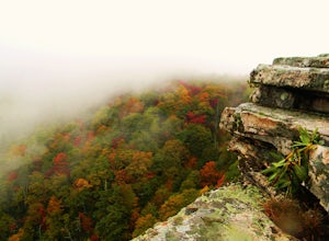
Hike Barney's Wall
4.68.4 mi / 1600 ft gainThis hike begins in the parking lot for Cascade Falls. Keep left at the first and second intersections to stay on the Upper Trail. At the third intersection, stay straight (don't turn right) to stay on the Conservancy Trail.Follow the Conservancy Trail for 0.4 miles, and continue on it when it br...Read more -
Pembroke, Virginia
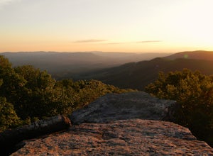
Bald Knob Trail
4.80.93 mi / 387 ft gainUnobstructed views with little hiking effort make Bald Knob one of the best locations to see the sunset in southwestern Virginia. Easy to access from US-460 in Giles County, take Mountain Lake Road (VA-700) for 7 miles and park in the gravel lot on the left by the intersection of VA-613 and Moun...Read more -
Shawsville, Virginia
Hike to Stiles Falls
4.83 mi / 500 ft gainPark at the Alta Mons camp parking lot, and start walking the gravel road. There will be signs throughout the trail that lead to the waterfall. Continue down the trail for 1.5 miles. Look out for the white trail markers that indicate the Stiles Falls trail. After 1.5 miles, you will reach the wat...Read more -
Princeton, West Virginia
White Oak Falls via Brush Creek Falls Trail
3.69 mi / 574 ft gainThis is a wonderfully easy hike to White Oak Falls. After visiting Bush Creek Falls, keep walking down the trail. You'll enter the Bush Creek Nature Preserve area. If you visit after heavy rains, please note that your feet will get wet. There are numerous cascades that come down and cross over t...Read more -
Princeton, West Virginia
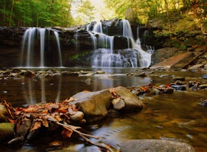
Brush Creek Falls
4.50.5 mi / 75 ft gainBrush Creek Falls is a beautiful 25' waterfall that spans across Brush Creek. It is accessed via a short 0.5 mile hike with minimal elevation gain. From the parking area on Brush Creek Falls Road, take the trail to the right of the picnic shelter. This easy and relatively-flat trail through rhod...Read more -
Pinnacle, North Carolina
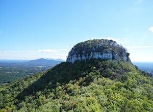
Hike the Jomeokee Trail at Pilot Mountain SP
4.30.8 mi / 100 ft gainThis unique peak, also known as the Big Pinnacle, is in Pilot Mountain State Park. From the main parking area on top of the mountain on Pilot Knob Park Road, you can first view the Big Pinnacle from the overlook attached to the parking lot. The prominent mountain behind the Big Pinnacle is Hang...Read more -
Pinnacle, North Carolina
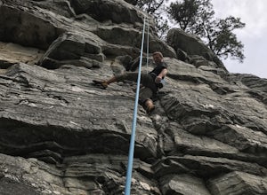
Rock Climb at Pilot Mountain SP
5.0Wide assortment of climbing on some of the best granite in the world. The grades range from 5.5 to 5.13 so anyone could find their level. It is a very top rope friendly climbing area. All thanks to the Carolina Climbers Coalition who regularly check and maintain all of the bolts located on all of...Read more -
Purlear, North Carolina
The Lump Trail
4.00.27 mi / 82 ft gainThe Lump Trail is an out-and-back trail where you may see beautiful wildflowers located near Purlear, North Carolina.Read more -
Newport, Virginia
Hike the War Spur Loop
3.52.7 mi / 300 ft gainThis is an awesome hike to do with limited time. It only took about 2 hours total with time to chill at the overlook. There's a map at the beginning of the trailhead which also shows how to connect over to the Appalachian Trail via the War Spur Connector Trail if you have more time in your day.F...Read more -
Creston, North Carolina
Three Top Mountain
4.2 mi / 1260 ft gainThree Top Mountain sits within the same vicinity of Elk Knob. The mountain gets its name from its three prominent rock projections at its peak. The highest point, unofficially named “Big Rock”, is at an elevation of 5020 feet. Prior to the originally named rock peak, you will arrive at Huckleb...Read more -
Pembroke, Virginia
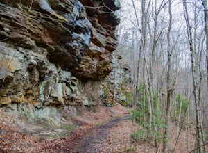
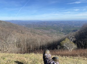
Hike to Wind Rock
4.70.5 mi / 400 ft gainAt the parking lot cross the gravel road to the trail head that starts at a map posted on the edge of the road. Hike a quick quarter-mile where you'll turn left to a large rocky outcrop with views of the blueridge. You'll pass a campsite with fire ring before the rocky outcrop and overlook. I've ...Read more -
Camp Creek, West Virginia
Photograph Mash Fork and Campbell Falls in Camp Creek SP
5.0Right off interstate I-77, Camp Creek State Park has two waterfalls that you can easily access: Mash Fork Falls and Campbell Falls. These falls can both have very low flows in late summer, so try to plan your visit for times of higher flows (early spring or after a rain). Mash Fork Falls is in th...Read more

