Fort Valley, Virginia
Looking for the best hiking in Fort Valley? We've got you covered with the top trails, trips, hiking, backpacking, camping and more around Fort Valley. The detailed guides, photos, and reviews are all submitted by the Outbound community.
Top Hiking Spots in and near Fort Valley
-
Bluemont, Virginia
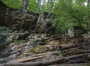
Hike to Hollow Brook Falls
4.32 mi / 300 ft gainThis hike will start on the Appalachian Trail and will take you to a beautiful set of falls. When you arrive at the location you will see numerous spots along the side of the road to park. You'll need to look for the white blaze for the Appalachian Trail (it will head up from the parking area). ...Read more -
Charlottesville, Virginia
Preddy Creek & Creekside Trail Loop
4.33.75 mi / 266 ft gainMy husband is a runner and I am not. I hate to run and the entire time I am running I am exhausting myself thinking how much I hate running. However, I love hiking. I can hike all day and I can kick my runner husband's butt with a pack on going up a mountain trail. The problem with this though is...Read more -
Cabins, West Virginia
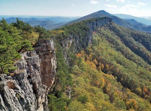
Hike to Chimney Rock in the Monongahela National Forest
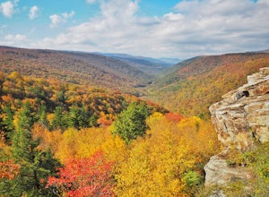
4.74.85 mi / 1319 ft gainChimney Rock (also referred to as Chimney Top) is a hidden gem in the Monongahela National Forest that offers some of the best views in the state of West Virginia. There are several trail options that pass this overlook, including a 24 mile point-to-point backpack of the North Fork Mountain Trai...Read more -
Cabins, West Virginia
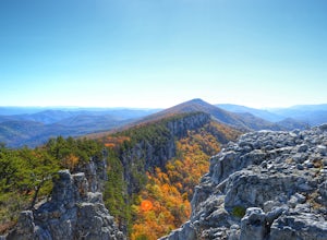
Backpack the North Fork Mountain Trail & Chimney Top
5.024.7 miOne of my favorite hikes in West Virginia, since the whole ridge is full of views. Backpacking the North Fork Mountain Trail is about 24.7 miles in total and a challenging hike but with relentless views. In my opinion, the best West Virginia has to offer. Summertime backpacking the whole the NFM...Read more -
Bluemont, Virginia
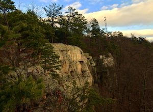
Hike to Raven Rock
4.35 mi / 1000 ft gainStarting at a small parking lot right off of Route 7 (wuick right onto Pine Grove Road) this hike takes you North on the Appalachian Trail in a very hilly/rocky part of the trail. Expect to gain and lose 300 feet+ multiple times! It's about 2.5 miles each way so budget at least a few hours to go ...Read more -
Cool Spring Path South Parking, Virginia
Hike Cool Spring Path
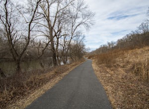
4.02 mi / 70 ft gainThe Cool Spring Path South is an old golf course that has been and still is in the process of being returned to its natural state by Shenandoah University. The paved paths from the golf course make this an easy hike for anyone. For those who may be in a wheelchair, this loop should be fully acces...Read more -
Crozet, Virginia
Photograph Charlottesville Reservoir
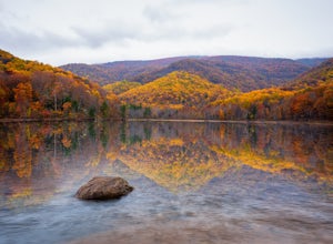
4.7The reservoir is located in the Piedmont Hills just outside the city of Charlottesville, Virginia. So technically Charlottesville Reservoir is not in Shenandoah National Park, but it is only a few feet outside of the park, and it has an outstanding view of the Blue Ridge Mountains that make up th...Read more -
Crozet, Virginia
Hike Moorman's River
4.52.5 miAlong the hike, there are four "official" swimming holes to jump in, but you can make your own at any time. Go in the springtime for a great waterfall at the end the feeds into a swimming hole, and in the fall for a wonderland of foliage. The official name of this hike is Moorman's River, but an...Read more -
Bluemont, Virginia
Hike to Bears Den Overlook
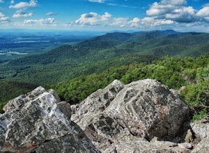
4.41.31 mi / 164 ft gainBears Den is a collection of rocks and boulders that overlooks the Shenandoah Valley in northern Virginia, just off the Appalachian Trail. You have two options to access this overlook: park at the bottom of the mountain and hike up to the overlook via the trail, or drive to the top and access the...Read more -
Crozet, Virginia
Hike Turk Mountain
4.02.2 mi / 700 ft gainFrom the parking area at Turk Gap (MP 94.1), cross over the Skyline Drive. The Appalachian Trail (AT) intersects right here, and take the AT south by taking the trail on the left. After 0.2 miles you will turn right off of the AT onto the blue-blazed Turk Mountain Trail. The trail junctions me...Read more -
Seneca Rocks, West Virginia
Seneca Rocks Trail
4.73.12 mi / 784 ft gainSeneca Rocks is probably one of the best known landmarks in West Virginia. This iconic formation sits 900 feet above the North Fork River. I highly recommend anyone interested in taking a trip to West Virginia take some time to visit Seneca Rocks. These rock formations are really an amazing site....Read more -
Seneca Rocks, West Virginia
Camp at Yokum's Vacationland
With warm weather, we couldn't wait to go camping so we drove a few miles south of us to Yokum's Vacationland to camp in a teepee. It was THE BEST! It was so cold and we forgot our air mattress pump so we ended up car camping but the whole adventure was so awesome. We were the only people camping...Read more -
Seneca Rocks, West Virginia
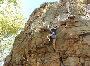
Climb Seneca Rocks
5.02.6 mi / 700 ft gainPark at the Seneca Rocks visitor parking spot located just off Mountaineer Drive. Take the trail directly across from the lot, cross the bridge over the stream, and follow the trail about one mile until you see a rock stair trail on your left side (Seneca Rocks side). Follow this rock stair trail...Read more -
Davis, West Virginia
Camp at Red Creek Campground
5.0Beginning your hikes from the Red Creek Campground gives you plenty of good options. For day hikers there is parking at the signed trailheads and for those who want to call the Campground home for a few days the campsites are nice and spaced out so you don't feel like you're sharing your tent spa...Read more -
Davis, West Virginia
Hike to Rohrbaugh Cliffs in Dolly Sods
5 miRohrbaugh Cliffs is the social name given to the expansive views found along the Rohrbaugh Plains Trail. This easy hike in the Dolly Sods Wilderness will take you to one of the best overlooks in the area. For a longer or more challenging hike, connect this trail with one of the many others in t...Read more -
Davis, West Virginia
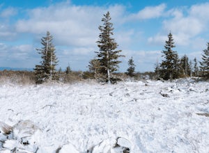
Snowshoe or Cross-Country Ski Dolly Sods
8 mi / 1400 ft gainFrom January to April, the forest roads that provide vehicle access to the Dolly Sods Wilderness in West Virginia are closed. If you're up for a cold weather adventure, park your car (in accordance with the signage and without blocking the road) and hike up the Forest Road 75 near Davis, WV, to B...Read more

